
East 1st Street in Odessa, Texas
East 1st Street in Odessa is an asphalted residential street and crosses a bridge. It runs in a northeast-southwest direction starting from Adams Avenue and crosses North Muskingum Avenue, North Tom Green Avenue, North Hancock Avenue, South Hancock Avenue, North Jackson Avenue, North Texas Avenue and South Texas Avenue and ends at West 1st Street. East 1st Street also exists in Bexar County, Harris County, Galveston County, Brazoria County and Waller County.
- Road Type
- residential street
- Route
- northeast-southwest
Image
Fast food restaurants
Doctor's offices
Cafes
Hair salons
Universities
Banks
Auto parts stores
Restaurants
Car rentals
Places of worship
Pharmacies
Police stations
Theaters
Schools
Artworks
Streets nearby
North Grant AvenueProsperity Bank Building
400 ft
South Grant AvenueGann's, Iglesia Adventista Del Septimo Dia, Texas Restaurant Concepts, Eagle Lodge
0.1 mi
West Pearl Street0.1 mi
South Lee AvenueProgressive
0.1 mi
North Lincoln AvenueChrist Lutheran
0.1 mi
South Texas AvenueCannondale, Rodessa Heights, Anderson Heights
0.2 mi
Myrtle StreetNew Jerusalem Pentecostal Church, Walkers Chapel Church
0.2 mi
West Murphy StreetBingham, Moreno Addition, Superior Controls
0.2 mi
South Lincoln AvenueSmith Pearson
0.2 mi
South Hancock AvenueSaint James Baptist Church
0.2 mi
West 4th StreetTexas Tech University Health Sciences Center at the Permian Basin, Golder Pharmacy, St. Johns Episcopal Church
0.2 mi
South Sam Houston AvenueGraham
0.2 mi
East 3rd StreetPostal, French
0.2 mi
North Jackson AvenueOriginal Town, Bank of America
0.3 mi
West Olive StreetHendricks
0.3 mi
South Washington AvenuePruett
0.3 mi
North Washington Street0.3 mi
North Lee Avenue0.3 mi
North Crane Avenue0.3 mi
South Crane AvenueNovedades Mexico
0.3 mi
West 1st StreetIndustrial, Beacon, Spur
0.3 mi
East 6th StreetOwen, Royalty Heights, Thain
0.4 mi
North Sam Houston Avenue0.4 mi
Amenities nearby
Ector County Health Department0.1 mi
Buildings nearby
Heap Equipment350 ft
Dawson Building350 ft
Door Of Hope Mission500 ft
Henderson Drug Building550 ft
U P & S0.2 mi
The Grant Building0.2 mi
The Malhotra Building0.2 mi
Municipal Plaza0.2 mi
Lincoln Tower0.2 mi
FMC Desert Milagro Dialysis Center0.3 mi
Western Drug Package Store0.3 mi
Silver Oak Building0.3 mi
The Exchange Building0.3 mi
MCH Annex Building0.3 mi
MCH Professional Building0.4 mi
One Doctors Place0.4 mi
Courthouses nearby
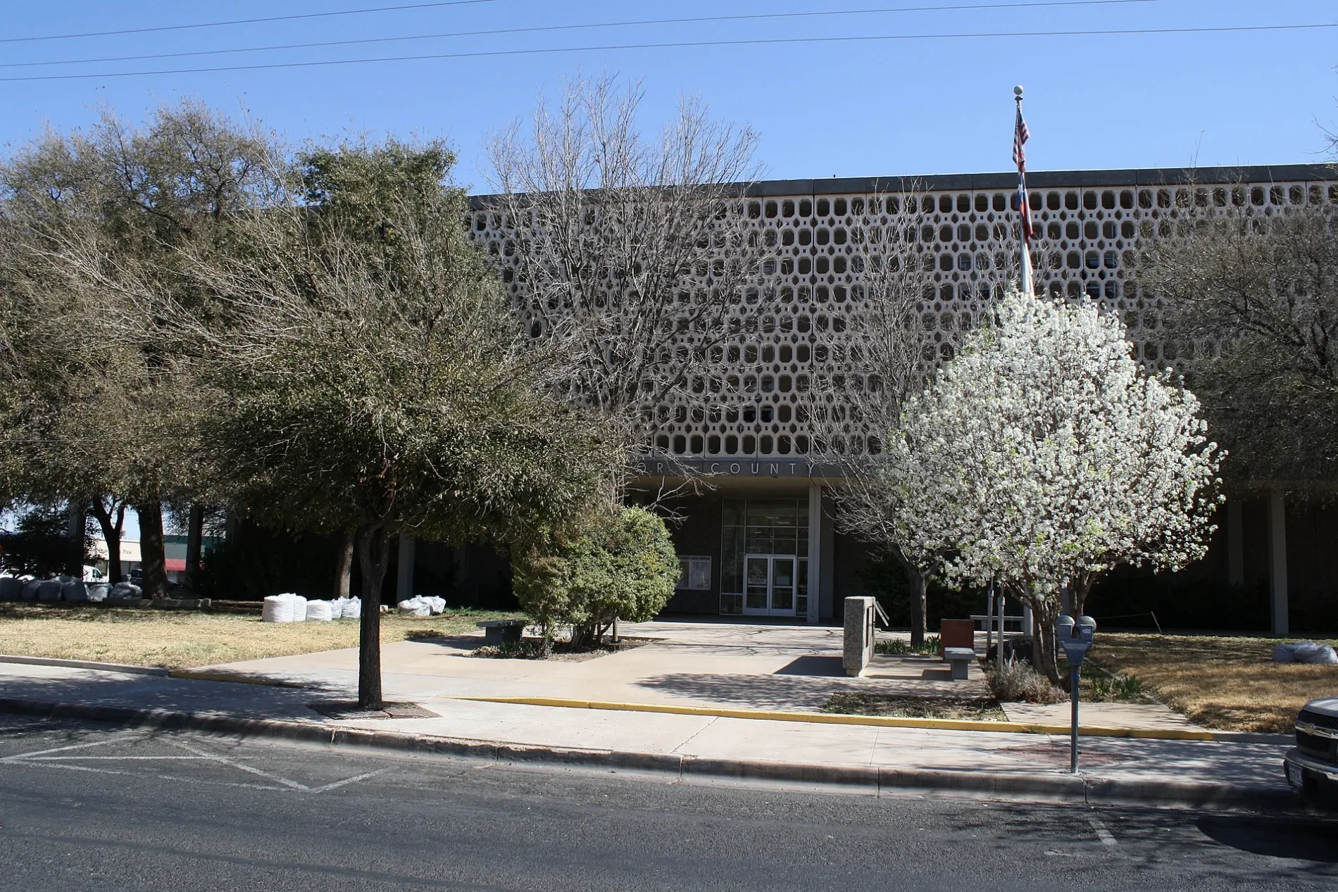
Ector County Courthouse0.2 mi
Hotels nearby
Odessa Marriott Hotel & Conference Center0.3 mi
Libraries nearby
Ector County Library0.3 mi
Motels nearby
Imperial Inn Motel0.1 mi
Museums nearby
White-Pool House0.3 mi
Office buildings nearby
The Copper Rose Building0.3 mi
Parks nearby
Noel Heritage Plaza0.3 mi
Post offices nearby
Odessa Post Office0.2 mi
Railways nearby
UP Toyah Subdivision200 ft
Public transit map Odessa Legend
| Railway | |
| Bus | |
| Streetcar |
Bicycle map Odessa Legend
| Bike path | |
| Bike lane on roadway | |
| Cycling allowed on bus lane | |
| Bicycle street | |
| Open to cyclists | |
| Open to cyclists, good path | |
| Cycling prohibited | |
| Cobblestone |
| Long-distance bike route | (depending on scale) | |
| Long-distance bike route |
Pedestrian map Odessa Legend
| Path |
| Long-distance hiking trail | (depending on scale) | |
| Long-distance hiking trail | ||
| Pedestrians prohibited |