
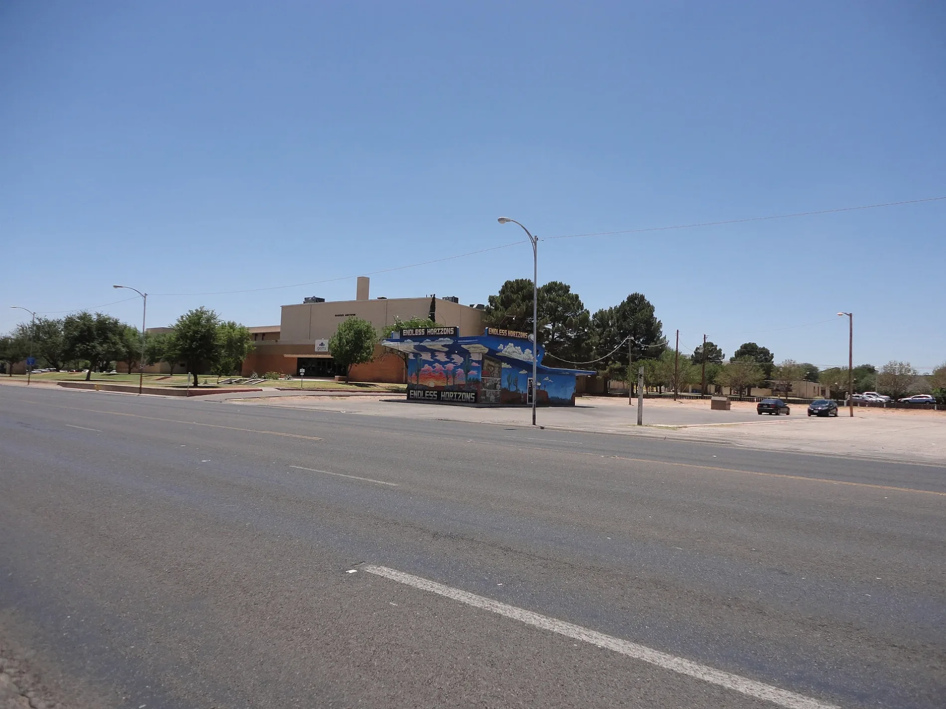
Grant Way in Odessa, Texas
Grant Way in Odessa is a residential street and runs in a north-south direction starting from West 23rd Street and crosses West 21st Street and ends at Shakespeare Road. Grant Way also exists in Hays County.
- Road Type
- residential street
- Route
- north-south
Image
Places of worship
Pharmacies
Variety stores
Clothing stores
Clinics
Restaurants
Kindergartens
Bars
Hardware stores
Furniture stores
Fast food restaurants
Theaters
Schools
Department stores
Laundries
Massage therapy clinics
Streets nearby
West 21st StreetGrant Avenue Heights
200 ft
Shakespeare RoadGlobe Theatre of the Great Southwest
250 ft
West 23rd StreetPizza Hut
350 ft
North Jackson AvenueOriginal Town, Bank of America
0.2 mi
West 22nd StreetHighland Park
0.2 mi
Kermit HighwayWestar, Harrisdale, Cromwell & Held, Buchanan North, Hawkins
0.3 mi
East 18th Street0.3 mi
Andrews HighwayJRM, CVS Pharmacy, 385 Barber Shop, Red Crab Bar
0.3 mi
West 18th Street0.3 mi
East 21st StreetBeacon Baptist Church
0.3 mi
East 19th Street0.3 mi
West 20th StreetKiddie Kollege Preschool, Taco Villa, Beaty
0.3 mi
North Grant AvenueProsperity Bank Building
0.3 mi
East 17th Street0.3 mi
West 19th Street0.4 mi
West 16th StreetWest Park Church
0.4 mi
West 17th Street0.4 mi
Apartment buildings nearby
McDonald Apts South0.2 mi
Buildings nearby
Purchasing & Receiving250 ft
Wrangler Hall550 ft
The Barn Door's South Forty Catering Co.0.1 mi
Greenhouse0.1 mi
Wilkerson Hall0.2 mi
Anne Hathaway Cottage0.2 mi
Murry H. Fly Learning Resources Center0.2 mi
Physical Plant & Transportation0.2 mi
Haley Diesel Mechanics Training Center0.2 mi
Electronics Technology Building0.2 mi
Auto Mechanics Center0.2 mi
Rudy Acosta Student Pavilion0.2 mi
Dale's Signs0.2 mi
Deaderick Hall & Auditorium0.2 mi
WiFi Java Cyber Cafe0.2 mi
Jack Rodgers Fine Arts Building0.3 mi
Sedate Hall0.3 mi
Health Services Building0.3 mi
Cosmetology0.4 mi
Colleges nearby
Wood Building0.2 mi
Spur Building0.2 mi
Administration Building0.3 mi
Saulsbury Student Center0.3 mi
Bookstore0.3 mi
Drugstores nearby
CVS Pharmacy0.3 mi
Residential areas nearby
The Gold Apts0.2 mi
College Addition0.3 mi
Stadium Apartments0.3 mi
Lincoln Apts0.4 mi
Schools nearby
Premier High School0.3 mi
Train stations nearby
Old Pecos Depot0.1 mi
Public transit map Odessa Legend
| Railway | |
| Bus | |
| Streetcar |
Bicycle map Odessa Legend
| Bike path | |
| Bike lane on roadway | |
| Cycling allowed on bus lane | |
| Bicycle street | |
| Open to cyclists | |
| Open to cyclists, good path | |
| Cycling prohibited | |
| Cobblestone |
| Long-distance bike route | (depending on scale) | |
| Long-distance bike route |
Pedestrian map Odessa Legend
| Path |
| Long-distance hiking trail | (depending on scale) | |
| Long-distance hiking trail | ||
| Pedestrians prohibited |