
Constellation Field in Sugar Land, Texas
Constellation Field in Sugar Land is a stadium (Baseball), Stadium Drive 1 (77479). Ⓦ.
- House Number
- 1
- Postal Code
- 77479
- Street
- Stadium Drive
- Leisure
- stadium
Image
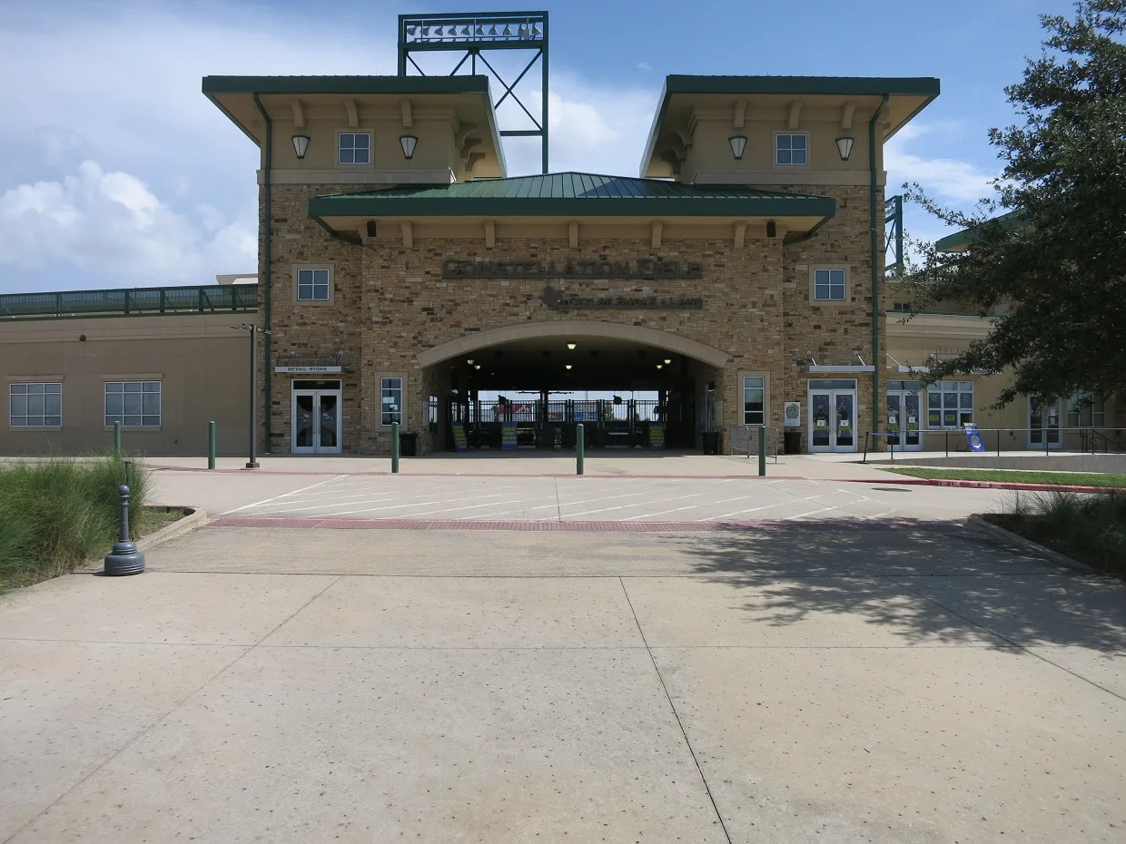
Streets nearby
Oyster Creek Dam 10.2 mi
Stadium Drive0.2 mi
Silent Manor Drive0.3 mi
Imperial Road0.3 mi
Hideaway Cove0.3 mi
Sweet Retreat Lane0.3 mi
Jim Davidson Drive0.4 mi
Honor Cove0.4 mi
Silent Way Drive0.4 mi
Silent Circle Drive0.5 mi
Honor Crest Run0.5 mi
State Highway 6 SouthFirst Community Credit Union, Batteries Plus Bulbs, Nothing Bundt Cakes, The Roof, Jared, Enterprise, Piada Italian Street Food, Taco Bell, McDonald's, Firehouse Subs, Civil Vapes, MediOAK Pharmacy, Heaven in a Jar Desserts, Palm Beach Tan, Dumpling World, Shipley Do-Nuts, Eduardo Jorj Salon, Nails by Yen, Regions Bank, Pizza Twist, Baskin-Robbins, Tide Cleaners, East West Bank, Harbor Freight Tools, C2 Education, Tiger-Rock Martial Arts, Cordovan Art School, Amy Tailor, Denny's, LA Cajun Table
0.5 mi
Quiet Path Drive0.5 mi
Imperial Boulevard0.5 mi
Smithville Street0.5 mi
Harvey Crossing0.5 mi
Scepter Run0.5 mi
Chalice Trail0.5 mi
Crown Garden Trail0.5 mi
Ulrich Street0.5 mi
State Highway 6 South Frontage RoadAmerant, Chase
0.6 mi
Scepter Ridge0.6 mi
Quiet Cove Drive0.6 mi
Sugar Park Lane0.6 mi
Quiet Park Drive0.6 mi
Quiet Way Lane0.6 mi
Ash StreetMount Pleasant Baptist Church
0.6 mi
University BoulevardTropical Smoothie Cafe, Sleep Number, 85°C, Kura Sushi, Papa John's, Stanton Optical
0.6 mi
Avenue G0.6 mi
Crown Promenade0.6 mi
Avenue D0.6 mi
US Highway 90AThai Square, Redeemed Christian Church of God Jesus House, DQ Grill & Chill, Sugar Land
0.6 mi
Live Oak Street0.6 mi
Crown Estate Way0.6 mi
Avenue F0.6 mi
Avenue E0.6 mi
Laurel Wreath Trail0.7 mi
West Park Street0.7 mi
Quiet Vista Drive0.7 mi
Crown Place0.7 mi
Poydras Street0.7 mi
Gas stations nearby
Murphy Express0.6 mi
Industrial areas nearby
ChampionX0.4 mi
Parks nearby
Sugar Land Regional Airport Park0.3 mi
Railways nearby
UP Glidden Subdivision0.6 mi
Residential areas nearby
Imperial Lofts0.2 mi
Restaurants nearby
Talyard Brewing0.2 mi
Tire dealers nearby
Discount Tire0.6 mi
Other nearby
Sugar Land Regional Airport0.5 mi
| Year built | 2012 |
|---|---|
| Official opening | 2012 |
| Located in | Sugar Land |
| Country | United States |
 Public transit map Sugar Land Legend
| Railway | |
| Bus | |
| Streetcar |
 Bicycle map Sugar Land Legend
| Bike path | |
| Bike lane on roadway | |
| Cycling allowed on bus lane | |
| Bicycle street | |
| Open to cyclists | |
| Open to cyclists, good path | |
| Cycling prohibited | |
| Cobblestone |
| Long-distance bike route | (depending on scale) | |
| Long-distance bike route |
 Pedestrian map Sugar Land Legend
| Path |
| Long-distance hiking trail | (depending on scale) | |
| Long-distance hiking trail | ||
| Pedestrians prohibited |