
East Donegan Street in Seguin, Texas
East Donegan Street in Seguin is a residential street. It runs in an east-west direction starting from West Donegan Street and crosses South Austin Street, South River Street, South Crockett Street, South Milam Street, South Erskine Street, South San Marcos Street and South Bauer Street and ends at Cedar Parkway.
- Road Type
- residential street
- Route
- east-west
Image
Gas stations
Bars
Museums
- Sebastopol House (opening hours: Thu–Sun 9–16, Web) at Zorn Street 704 (78155) – approx. 0.5 mi.
Coffee shops
Places of worship
Restaurants
Bus stops
Hair salons
Schools
Fast food restaurants
Bike shops
Cafes
Streets nearby
South River Street50 ft
South Austin StreetAffordable Floors, Burnt Bean
350 ft
West Donegan Street500 ft
South Camp Street550 ft
East Gonzales StreetLa Trinidad United Methodist Church
0.1 mi
North River Street0.1 mi
South Travis Street0.1 mi
North Austin StreetNew Salem Baptist Church Destiny
0.2 mi
West Gonzales Street0.2 mi
North Travis Street0.2 mi
North Camp Street0.2 mi
West Mountain Street0.2 mi
West Nolte Street0.2 mi
North Bowie Street0.2 mi
East Mosheim Street0.3 mi
West Mosheim Street0.3 mi
West Walnut Street0.3 mi
West Court StreetSeguin, On the Grind, Li’l Super
0.3 mi
West Ireland Street0.4 mi
Shops nearby
Vogue Shoes0.1 mi
Apartment buildings nearby
Aumont Hotel0.2 mi
Banks nearby
Bank of America0.1 mi
Buildings nearby
Seguin Art League350 ft
Pickett's Fine Art & Frame Shp0.1 mi
Seguin Chamber/Visitor Center0.1 mi
Joe F. Saegert School0.2 mi
Cafes nearby
Amy's and Cathy's Takeout350 ft
Seguin Coffee Company0.2 mi
Clothing stores nearby
Culture450 ft
Commercial buildings nearby
The Law Office of Stephen D. Finch400 ft
Joseph B. Dibrell Jr.500 ft
Courthouses nearby
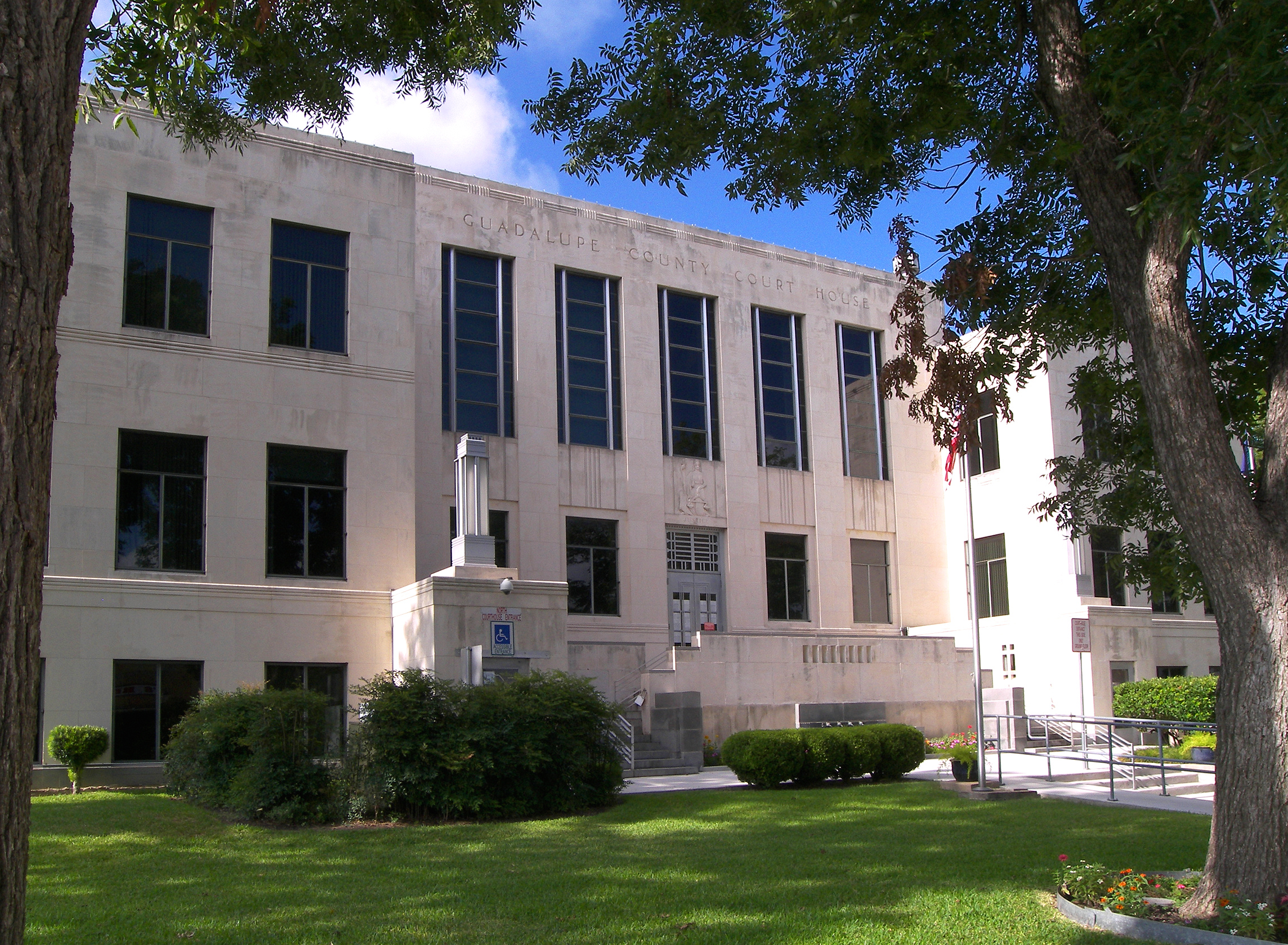
Guadalupe County Courthouse200 ft
Event venues nearby
Soel Venue500 ft
Gift shops nearby
Gift & Gourmet400 ft
Libraries nearby
Seguin Public Library0.2 mi
Museums nearby
Heritage Museum550 ft
Parks nearby
Central Park50 ft
Memorial Rose Garden0.2 mi
Walnut Springs Park0.2 mi
Pet stores nearby
Thunderpaws Canine Solutions350 ft
Public buildings nearby
Guadalupe County Justice Center0.1 mi
Guadalupe County Finance Center0.2 mi
Pubs nearby
The Ticket Sports Bar & Grill400 ft
Restaurants nearby
Ebi - Ebi Sushi400 ft
A-Tan Asian Bistro0.3 mi
Retail buildings nearby
Starcke Furniture Company450 ft
Theaters nearby
Texas Theatre0.3 mi
Town halls nearby
Seguin City Hall0.1 mi
Variety stores nearby
Dollar General0.3 mi
Public transit map Seguin Legend
| Railway | |
| Bus | |
| Streetcar |
Bicycle map Seguin Legend
| Bike path | |
| Bike lane on roadway | |
| Cycling allowed on bus lane | |
| Bicycle street | |
| Open to cyclists | |
| Open to cyclists, good path | |
| Cycling prohibited | |
| Cobblestone |
| Long-distance bike route | (depending on scale) | |
| Long-distance bike route |
Pedestrian map Seguin Legend
| Path |
| Long-distance hiking trail | (depending on scale) | |
| Long-distance hiking trail | ||
| Pedestrians prohibited |