
East 24th Street in Houston
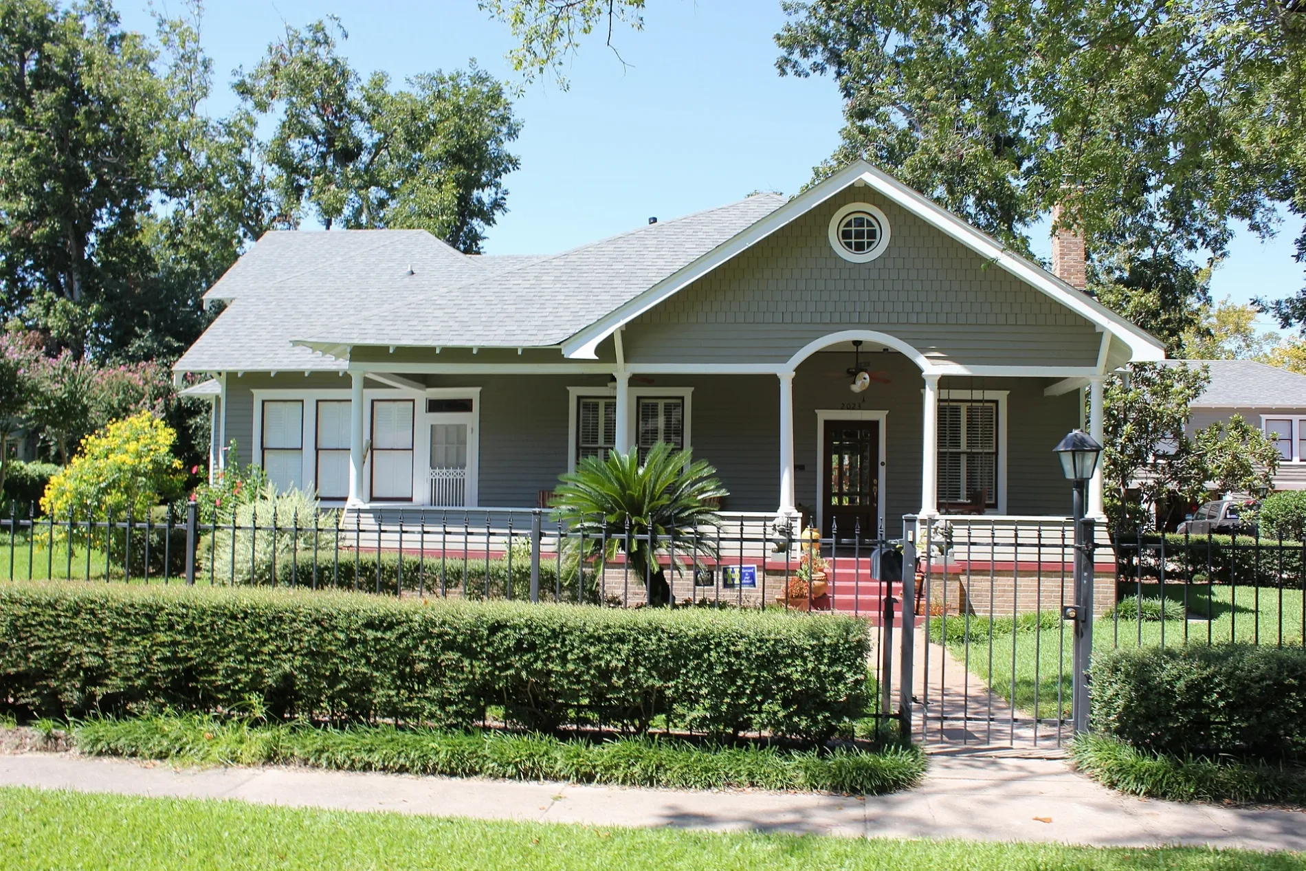
East 24th Street in Houston is a two-lane residential street. It runs in an east-west direction starting from Cortlandt Street and crosses Arlington Street, Columbia Street, Oxford Street, Gostic Street, North Main Street and Princeton Street and ends at Gibbs Street. East 24th Street also exists in Hale County, Lubbock County, Howard County, Crane County and Tom Green County.
- Road Type
- residential street
- Lanes
- 2
- Route
- east-west
Image
Streets nearby
East 25th StreetKumon, Lei Low Rum & Tiki Bar, Heights Head Smoke Shop, Stop at Joe's Food Store
350 ft
Cortlandt StreetBudget, Shell
350 ft
Aurora StreetCentral City Co-op, E1 Garage, Connie's Seafood
0.1 mi
East 22nd Street0.1 mi
East 26th Street0.2 mi
Columbia Street0.2 mi
Harvard StreetBonjour, Metro by T-Mobile, Star Pizza #2, First Baptist Church Heights
0.2 mi
Munford Street0.2 mi
Yale StreetSubway, Texas Children's Pedatrics, Lovejoy's, Heights Antiques on Yale, Dentist Tree of The Heights, Replay Games, Bank of America, Kim Liquor, Wild Boar Barbershop, Jimmy John's, Crumbl Cookies, Wingstop, Premier Fine Wine & Spirits, Great Clips, Aqua Cleaners, Total Nutrition, Smashburger, BLVD Dentistry, Luna Pizzeria, Massage Heights, GNC, Nail Time, Noon Mediterranean, Saint Albans Catholic Church, Blue Line Bike Lab, Area 52, CVS Pharmacy, Airline Medical Clinic, Taqueria No Toques Mi Taco, Verdant Tree Farm, Corner Bakery, Doctors Express Urgent Care, Verizon, Starbucks, Mattress Firm, Kendra Scott, Lemon Laine, The Impeccable Pig, Pressed, Shipley Do-Nuts, Yale Store, Valero
0.2 mi
East 27th StreetBahama Buck's
0.2 mi
Oxford StreetJenni's Noodle House
0.3 mi
East 21st StreetYale Street Grill
0.3 mi
East 28th Street0.3 mi
East 20th StreetSchool of Rock, Heights Super Cleaners, Heights Reflexology, MMC Beauty Salon
0.3 mi
Paul Carr Jogging TrailLombard Lamp
0.3 mi
West 20th StreetPour Decisions Craft, The Boot, Crust Pizza Company, CAVA, Zalat Pizza, Snap Kitchen, Walgreens, Marcos Spice
0.3 mi
North Loop Frontage RoadWhole Foods Market, ½ Price Boxes, Western Inn, U-Haul
0.3 mi
West 25th StreetTaqueria, Valvoline, The Rabbit Hole
0.4 mi
North Loop0.4 mi
West 19th StreetVietnam Restaurant, Harold's, Manready Mercantile, Coda, Hopdoddy, JINYA Ramen Bar, Comerica Bank, Sport Clips, The Corner Vet, TDECU, Menchi's, Penzeys Spices, Boomtown Coffee, PNC Bank, Heights Cigar Lounge, Hassler Dermatology, Agnes and Sherman, Killer Noodle Tsujita, Painting With a Twist, Gold Rush Collective, H-Town Smoke & Vape
0.4 mi
North Loop West Frontage RoadPei Wei, Matin Auto Center, T-Mobile, Connect Dental Specialists, Advance America, Nailology, Direct Car Company, Face Forward Houston, Appliance Repair by Asurion, My Fit Foods, AT&T, Heights Motor Credit, Avis, Budget, CVS Pharmacy
0.4 mi
Apartment buildings nearby
Heights House0.3 mi
Auto repair shops nearby
Master Car Care0.2 mi
Kindall Automotive0.3 mi
Banks nearby
Prosperity Bank0.2 mi
Beauty salons nearby
Borgata Nail Salon0.3 mi
Buildings nearby
Allbach House0.2 mi
Fayette C Lowry House0.2 mi
Banta House0.3 mi
Houston Heights Womans Club0.3 mi
Cafes nearby
Tenfold Coffee0.2 mi
Bluestone Lane0.4 mi
Clothing stores nearby
Ventura's Bridal Fashions0.4 mi
Convenience stores nearby
Izzi Market0.3 mi
Drugstores nearby
CVS Pharmacy0.4 mi
Fast food restaurants nearby
McDonald's0.3 mi
Dunkin'0.3 mi
Burger King0.4 mi
Gas stations nearby
Chevron0.3 mi
Music stores nearby
Fuller's Guitar0.3 mi
Parks nearby
Halbert Park350 ft
Places of worship nearby
Sojourn0.3 mi
Baptist Temple0.4 mi
Preschools nearby
Alianza Eco International School0.2 mi
Pubs nearby
The Deuce0.2 mi
Restaurants nearby
Angela's Oven0.1 mi
Heights Asian Cafe0.3 mi
Jus Mac0.3 mi
Retail buildings nearby
Dupuis Building0.3 mi
Public transit map Houston Legend
| Railway | |
| Bus | |
| Streetcar |
Bicycle map Houston Legend
| Bike path | |
| Bike lane on roadway | |
| Cycling allowed on bus lane | |
| Bicycle street | |
| Open to cyclists | |
| Open to cyclists, good path | |
| Cycling prohibited | |
| Cobblestone |
| Long-distance bike route | (depending on scale) | |
| Long-distance bike route |
Pedestrian map Houston Legend
| Path |
| Long-distance hiking trail | (depending on scale) | |
| Long-distance hiking trail | ||
| Pedestrians prohibited |