
Agar Lane in Houston
Agar Lane in Houston is a residential street. It runs in a north-south direction starting from Norton Drive and crosses Alcott Drive and Emnora Lane. Agar Lane also exists in Cameron County.
- Road Type
- residential street
- Route
- north-south
Image
Convenience stores
Pharmacies
Supplement stores
Liquor stores
Cell phone stores
Attractions
Social facilities
Fast food restaurants
Beauty salons
Supermarkets
Fire stations
Restaurants
Cafes
Clothing stores
Hair salons
Opticians
Auto repair shops
Specialty stores
Streets nearby
Emnora Lane0.2 mi
Hammerly BoulevardAntoine Mini Mart, Spring Branch Central, Iglesia Pentecostal del Triunfo Church, La Pupusa Loca, McDonald's, Subway
0.2 mi
Kersten Drive0.3 mi
Lanell Lane0.3 mi
West Sam Houston Parkway NorthEverything But Water, Amegy Bank, Murphy's Deli, Starbucks, Laredo Taco Company, 7-Eleven, EZTAG, Builders FirstSource, Spark, Einstein Bros. Bagels, Verizon, Frost Bank
0.3 mi
West Sam Houston Tollway NorthEZTAG
0.4 mi
Quincannon Lane0.4 mi
Fullerton Drive0.4 mi
Brittmoore RoadRhythm Room Rehearsal Studio, Church's Chicken
0.5 mi
Helmsdale Street0.5 mi
Gaywood Drive0.6 mi
Tiger Trail0.6 mi
Alcott Drive0.6 mi
Enclave Springs Court0.6 mi
Mapleton Drive0.6 mi
Stebbins Drive0.6 mi
Norton Drive0.6 mi
Claymoore Park Drive0.6 mi
Spillers Lane0.6 mi
Knoboak Drive0.6 mi
Shadow Elm Court0.6 mi
Manila Lane0.6 mi
Ottawa Lane0.6 mi
Kismet Lane0.6 mi
Fontana Drive0.6 mi
Shadow Woods Court0.6 mi
Kempwood DriveZimmer's Liquor Store, Houston Fire Department Station 77, Celaya Tire Shop, Church's Chicken, Tortilleria Zapateca
0.6 mi
Enclave Shadows Court0.6 mi
Chaparral Drive0.7 mi
Shadow Bend Drive0.7 mi
Kenross Street0.7 mi
Shadowdale Drive0.7 mi
Rothbury Street0.7 mi
Durban Drive0.7 mi
Commercial buildings nearby
Altech - ITAD Services & Computer Recycling Houston0.6 mi
Fast food restaurants nearby
Burger King0.2 mi
Jack in the Box0.3 mi
Chick-fil-A0.3 mi
Industrial areas nearby
Hammerly Industrial Park0.3 mi
Parks nearby
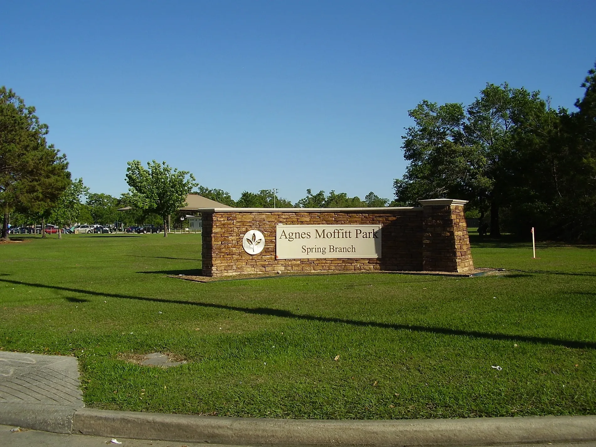
Agnes Moffitt Park0.3 mi
Residential areas nearby
Hammerly Woods Condominiums0.5 mi
Westway Apartments0.5 mi
Springwoods Village Apartments0.5 mi
Victorian Village0.6 mi
Shadowdale Oaks apartments0.6 mi
MacGregor West0.7 mi
Sports centers nearby
Houston Christian High School Gymnasium0.3 mi
Baseball USA0.4 mi
Other nearby
Addicks Substation0.6 mi
 Public transit map Houston Legend
| Railway | |
| Bus | |
| Streetcar |
 Bicycle map Houston Legend
| Bike path | |
| Bike lane on roadway | |
| Cycling allowed on bus lane | |
| Bicycle street | |
| Open to cyclists | |
| Open to cyclists, good path | |
| Cycling prohibited | |
| Cobblestone |
| Long-distance bike route | (depending on scale) | |
| Long-distance bike route |
 Pedestrian map Houston Legend
| Path |
| Long-distance hiking trail | (depending on scale) | |
| Long-distance hiking trail | ||
| Pedestrians prohibited |