
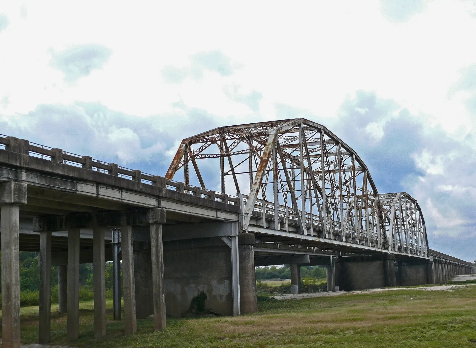
Bevil Jarrell Memorial Bridge in Houston
Bevil Jarrell Memorial Bridge in Houston is a historic object (Heritage monument). It runs in a north-south direction and ends in a cul-de-sac. Bevil Jarrell Memorial Bridge is located near Lakeside Lane.
- Road Type
- bike path
- Route
- north-south
Image
Gift shops
Opticians
Beauty salons
Hair salons
Restaurants
Dentist offices
Clothing stores
Convenience stores
Cafes
Banks
Jewelry stores
Bed stores
Clinics
Car dealerships
Fire stations
Self storages
Massage therapy clinics
Post offices
Pet stores
Streets nearby
Eastex FreewayPower of Houston
0.2 mi
Hamblen Road0.2 mi
West Hamblen Road0.2 mi
Lakeside Lane0.2 mi
Savell Road0.3 mi
US 59 (Eastex Freeway) HOV/HOT lane0.3 mi
Lakeside Court0.3 mi
Treasure Lane0.4 mi
Treasure Circle0.4 mi
Sorters McLellan Road0.5 mi
North Houston Avenue0.5 mi
Laurel Springs LaneBlack Cat Ridge
0.5 mi
Ross Road0.5 mi
Kelso Street0.6 mi
Old River Road0.6 mi
Spring Creek Crossing0.6 mi
Trail Tree Lane0.6 mi
Laurel Timbers Drive0.6 mi
Betty Ann Lane0.7 mi
McClellan Circle0.7 mi
Laurel Sage Drive0.7 mi
Burning Tree Court0.7 mi
Laurel Pine Circle0.7 mi
San Jacinto Bayou Greenway0.7 mi
Laurel Pine Drive0.7 mi
Eastex Freeway Frontage RoadCrown Inn, Palace Inn, Cart’air, Hollywood Inn, Bank of America, Harris County Sheriff's Office - DARE Program, New Sunrise Baptist Church, Regency Inn & Suites
0.8 mi
Mystic Glen LoopLakewood Cove
0.8 mi
Townsen BoulevardTownsen Park & Ride, Popshelf, Zero Degrees, 7Spice Cajun Seafood, Firehouse Subs, Your CBD Store, Brooklyn Pizzeria, TitleMax, Truist
0.8 mi
Potts Road0.9 mi
Arcades nearby
Main Event0.6 mi
Cemeteries nearby
Prater Cemetery0.9 mi
Commercial areas nearby
Parkway Family Kia0.6 mi
Fitness centers nearby
U Turn Crossfit0.2 mi
Gas stations nearby
Costco Gasoline0.8 mi
Golf courses nearby
Humble Oil Patch Foot Golf Course0.6 mi
Hotels nearby
Comfort Suites Kingwood Houston North0.6 mi
Country Inn & Suites by Radisson1.0 mi
Motels nearby
Palace Inn Kingwood0.5 mi
Opticians nearby
Today's Vision0.9 mi
Parks nearby
San Jacinto Park0.2 mi
Railways nearby
UP Lufkin Subdivision0.3 mi
Retail areas nearby
Deerbrook Marketplace1.0 mi
Rivers nearby
West Fork San Jacinto River0.2 mi
Spring Creek1.0 mi
Rv parks nearby
Pop's Hideout RV Park0.5 mi
Laurel Springs RV Resort0.6 mi
Waters nearby
Dead Man's Lake0.4 mi
Sandpit Lake0.7 mi
Wholesale stores nearby
Costco0.7 mi
| Located in | Harris County |
|---|---|
| Country | United States |
 Public transit map Houston Legend
| Railway | |
| Bus | |
| Streetcar |
 Bicycle map Houston Legend
| Bike path | |
| Bike lane on roadway | |
| Cycling allowed on bus lane | |
| Bicycle street | |
| Open to cyclists | |
| Open to cyclists, good path | |
| Cycling prohibited | |
| Cobblestone |
| Long-distance bike route | (depending on scale) | |
| Long-distance bike route |
 Pedestrian map Houston Legend
| Path |
| Long-distance hiking trail | (depending on scale) | |
| Long-distance hiking trail | ||
| Pedestrians prohibited |