
City Oaks in Houston
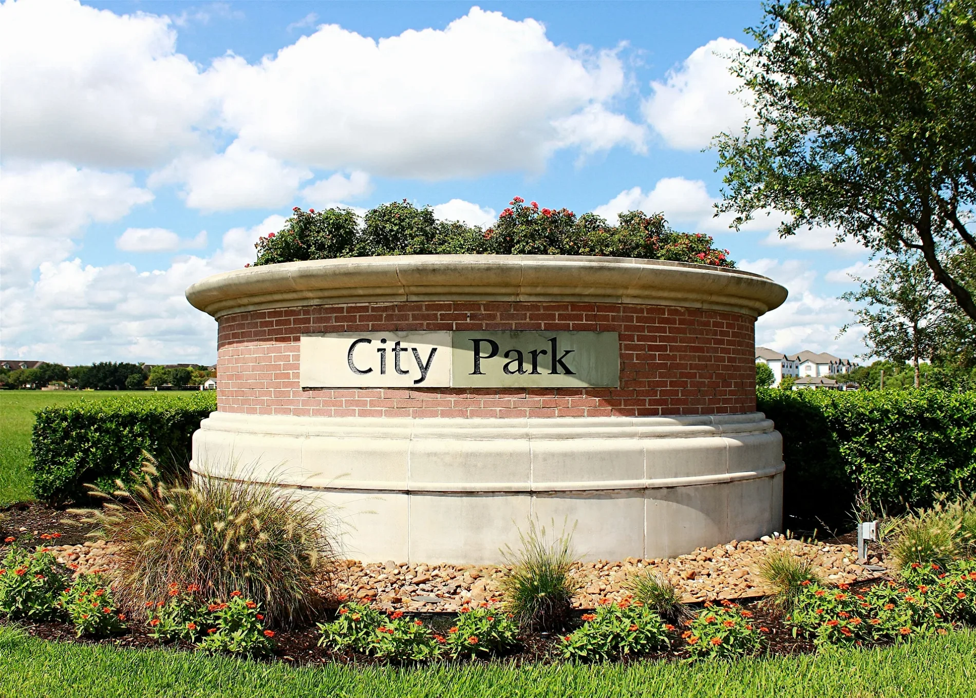
City Oaks in Houston is a residential area. City Oaks is also known as City Park, Houston. Ⓦ.
- Land Use
- residential area
Image
Gas stations
Cafes
Bus stops
Places of worship
Fast food restaurants
Weighbridges
Tourist information centers
Streets nearby
Meerstad Lane300 ft
Woods Lake Court300 ft
Lake City Lane500 ft
East Hillock Lane0.2 mi
City Square Lane0.2 mi
City Lake Place0.2 mi
City Park Central Lane0.2 mi
Almeda-Genoa RoadCalvary Hill Baptist Church, Time Saver Gas & Grocery, Chicken 'n Grill, Texan Smoke Shop, Texaco, La Nueva Michoacana Paleteria, rue21, Rose Gold Design, MV Nails
0.2 mi
West Hillock Lane0.2 mi
City Village Lane0.2 mi
Paseo Place0.2 mi
City Skyline Court0.2 mi
City Nights Way0.2 mi
Amaurot Lane0.3 mi
City Bosque Trail0.3 mi
Lake Portal Drive0.3 mi
Oaks Wood Lane0.3 mi
Oppidian Lane0.3 mi
City Pass Lane0.3 mi
Parade Park Place0.3 mi
North City Oaks0.4 mi
Norshire Street0.4 mi
Municipal Way0.4 mi
City Trek Lane0.4 mi
Sylvan Hills Drive0.4 mi
Sanspereil Drive0.4 mi
Elaine Road0.4 mi
Parc Monceau Lane0.4 mi
Palcio Real Drive0.4 mi
Nichole Woods Drive0.5 mi
City Park Loop0.5 mi
Prior Park Drive0.5 mi
City Park Lane0.5 mi
City Park Drive0.5 mi
Cityscape Avenue0.5 mi
Chanteloup Drive0.5 mi
Garnier Lane0.5 mi
Longwood Garden Way0.5 mi
Claremont Garden Circle0.6 mi
South Freeway0.6 mi
Kirby DriveStone Mill Bakers, Avalon Place, Texas Children's Pediatrics, Baylor Family Practice, Angelo'z, Pizza Hut, Viet's Express, Akashi Asian Sushi Cuisine & Wine Bar, The Teahouse, Sarpino's Pizzeria, Snap Kitchen, Dimassi's Mediterranean Buffet, Russo's New York Pizza, Subway, Asahi Sushi, Sushi King, Flixbus Houston Uptown - Upper Kirby
0.6 mi
Princess Garden Way0.6 mi
Jelicoe Drive0.6 mi
Claradeen Court0.6 mi
Cogburn Park Lane0.7 mi
Cemeteries nearby
Beth Jacob Cemetery0.4 mi
Hotels nearby
Woodspring Suites Houston 2880.4 mi
Residential areas nearby
Ranch at City Park0.5 mi
Stonebridge at City Park0.6 mi
| Located in | Houston, Five Corners District |
|---|---|
| Country | United States |
 Public transit map Houston Legend
| Railway | |
| Bus | |
| Streetcar |
 Bicycle map Houston Legend
| Bike path | |
| Bike lane on roadway | |
| Cycling allowed on bus lane | |
| Bicycle street | |
| Open to cyclists | |
| Open to cyclists, good path | |
| Cycling prohibited | |
| Cobblestone |
| Long-distance bike route | (depending on scale) | |
| Long-distance bike route |
 Pedestrian map Houston Legend
| Path |
| Long-distance hiking trail | (depending on scale) | |
| Long-distance hiking trail | ||
| Pedestrians prohibited |