
Image
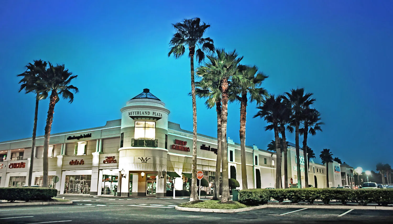
Cafes
Pet stores
Pharmacies
Bed stores
Artworks
Veterinary clinics
Restaurants
Massage therapy clinics
Fast food restaurants
Shoe stores
Supplement stores
Sporting goods stores
Hair salons
Clothing stores
Department stores
Stationery stores
Cell phone stores
Opticians
Banks
Gift shops
Streets nearby
Sager Drive0.1 mi
Indigo Street0.2 mi
South Rice AvenueStarbucks, AT&T, Regions Bank
0.2 mi
Darnell Street0.2 mi
George Boys Drive0.2 mi
Doud Road0.3 mi
Birdwood Road0.3 mi
Jackwood StreetCafé Express, Rack Room Shoes, AT&T, Planetary Cycles
0.3 mi
Carew Street0.3 mi
Loch Lomond Drive0.3 mi
Brays Bayou Hike & Bike Trail0.3 mi
Grape Street0.3 mi
Jason Street0.4 mi
Imogene Street0.4 mi
Prichett DriveWhale
0.4 mi
Braesvalley Drive0.4 mi
West Loop South0.4 mi
Brays Bayou GreenwayDouble Track Junction, MacGregor, CoffeeTrend, Brays Bayou / Atwell Bridge Gateway
0.4 mi
Cranleigh Court0.4 mi
Cadman Court0.4 mi
Endicott LaneMassage Envy, Firehouse Subs
0.4 mi
North Braeswood BoulevardBraeswood
0.4 mi
Braesheather Drive0.4 mi
South Post Oak RoadHunter's Pub, 168 Szechuan, Houston Smoke, Cricket Wireless, Burger King, Texaco, Subway, Domino's, Welcome gas station, ACE Cash Express, Boost Mobile, Holy Trinity Missionary Baptist Church, Walgreen, Family Dollar, Phap Luan Buddhist Culture Center, Jack in the Box, South Post Oak Self Storage, Little Caesars, Redbox, La Monarca Michoacana, Perú Gourmet, Metro by T-Mobile, Big Deal Furniture, Wilson Glass Tint, La Sierra
0.5 mi
Braesheather Court0.5 mi
West Loop South Frontage RoadSmoothie King, The Children's Place, Mattress Firm, Panda Express, Today's Vision, CVS Pharmacy, Public Storage, Cura Smiles, Just Falafel, Post Oak Bank, Golfsmith
0.5 mi
South Braeswood BoulevardKnollwood Village Neighborhood Sign, Subway, Best Donuts, Chevron, Southwest Schwinn
0.5 mi
Heatherglen Drive0.5 mi
South Loop West Frontage RoadChacho's Grill, Arby's, West Loop Transit Center, McDonald's, timewise, Mobil, Brake Check, Concentra Urgent Care, Burger King, License Me Driving School, UnIted Christian School
0.5 mi
Millbury Drive0.6 mi
Glenmeadow Drive0.6 mi
Cafes nearby
Starbucks0.5 mi
Car rentals nearby
Enterprise0.5 mi
Clothing stores nearby
Talbots0.4 mi
Department stores nearby
JCPenney0.2 mi
Target0.3 mi
Drains nearby
Brays Bayou0.3 mi
Fitness centers nearby
EōS Fitness0.2 mi
Houses nearby
Stern House0.3 mi
Industrial areas nearby
Meyerland Plant0.4 mi
Kiosks nearby
Drive Through Support0.3 mi
Parks nearby
Meyerland Park0.4 mi
Residential areas nearby
Meyerland Section 40.2 mi
Meyerland Section 50.3 mi
Meyerland Section 20.3 mi
Meyerland Section 60.3 mi
Meyerland Section 30.4 mi
Restaurants nearby
Saltgrass Steak House0.4 mi
School buildings nearby
Lovett Elementary School0.2 mi
| Located in | Houston |
|---|---|
| Country | United States |
| Location | Meyerland |
 Public transit map Houston Legend
| Railway | |
| Bus | |
| Streetcar |
 Bicycle map Houston Legend
| Bike path | |
| Bike lane on roadway | |
| Cycling allowed on bus lane | |
| Bicycle street | |
| Open to cyclists | |
| Open to cyclists, good path | |
| Cycling prohibited | |
| Cobblestone |
| Long-distance bike route | (depending on scale) | |
| Long-distance bike route |
 Pedestrian map Houston Legend
| Path |
| Long-distance hiking trail | (depending on scale) | |
| Long-distance hiking trail | ||
| Pedestrians prohibited |