
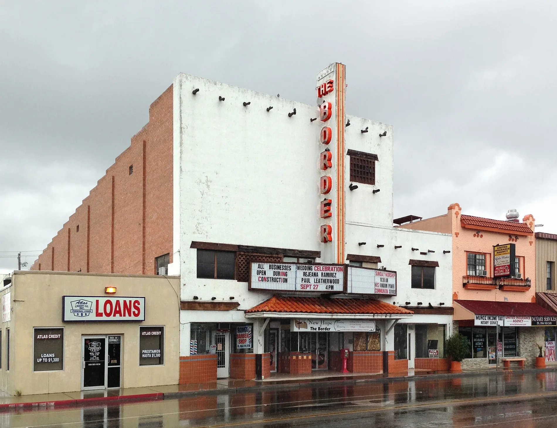
East Tom Landry Street in Mission, Texas
East Tom Landry Street in Mission is a main road (Road number US 83 Bus). It runs in an east-west direction starting from West Tom Landry Street and crosses North Conway Avenue, Doherty Avenue, Miller Avenue, Oblate Avenue, Francisco Avenue, North Saint Marie Street, Keralum Avenue, Kika de la Garza Loop, Rosa Avenue and Seitz Street and ends at Highland Park Avenue. This street is part of the highway "83". Nearby you can find among others a police station and a bank.
- Road Type
- main road
- Route
- east-west
Image
Streets nearby
East 11th Street500 ft
Francisco Avenue0.1 mi
East 9th StreetValor Custom Designs
0.1 mi
Miller Avenue0.1 mi
Doherty Avenue0.2 mi
North Saint Marie Street0.2 mi
East 8th StreetMission Police Department
0.2 mi
East 13th StreetSpeer Memorial Library
0.2 mi
West 11th Street0.3 mi
East 14th StreetTrinity Lutheran Church
0.3 mi
East 12th Street0.3 mi
North Francisco Avenue0.3 mi
East 6th Street0.3 mi
South Miller Avenue0.3 mi
North Keralum Avenue0.3 mi
West Tom Landry StreetBorder Theater
0.3 mi
Catholic War Veterans Boulevard0.3 mi
West 8th Street0.3 mi
Perkins Avenue0.3 mi
Kika de la Garza Loop0.3 mi
Oblate Avenue0.4 mi
West 12th Street0.4 mi
North Conway AvenueConway Avenue Baptist Church, Parroquia San Martin de Porres, Mission TX
0.4 mi
East 15th Street0.4 mi
North Dunlap Avenue0.4 mi
Leo Najo Street0.4 mi
East 5th Street0.4 mi
Bryce DriveLeona Colonia
0.4 mi
South Doherty Avenue0.4 mi
Keralum Avenue0.4 mi
Rosa Avenue0.4 mi
West 14th Street0.4 mi
East Leo Najo Street0.4 mi
West 6th Street0.4 mi
West 13th Street0.4 mi
East 4th StreetIHOP, Dairy Queen
0.5 mi
North Cummings Avenue0.5 mi
Nogal Street0.5 mi
Seitz Street0.5 mi
Pino Street0.5 mi
North Mayberry Street0.5 mi
Fast food restaurants nearby
Whataburger0.3 mi
Gas stations nearby
H-E-B Fuel0.2 mi
Grasslands nearby
25th0.4 mi
26th0.5 mi
Parks nearby
Oblate Park0.2 mi
Leo Peña Placita Park0.3 mi
Rotary Park0.3 mi
Lions Park0.4 mi
Supermarkets nearby
H-E-B0.2 mi
Public transit map Mission Legend
| Railway | |
| Bus | |
| Streetcar |
Bicycle map Mission Legend
| Bike path | |
| Bike lane on roadway | |
| Cycling allowed on bus lane | |
| Bicycle street | |
| Open to cyclists | |
| Open to cyclists, good path | |
| Cycling prohibited | |
| Cobblestone |
| Long-distance bike route | (depending on scale) | |
| Long-distance bike route |
Pedestrian map Mission Legend
| Path |
| Long-distance hiking trail | (depending on scale) | |
| Long-distance hiking trail | ||
| Pedestrians prohibited |