
Wilson Street in Burleson, Texas
Wilson Street in Burleson is a residential street. It runs in a north-south direction starting from North Wilson Street and crosses West Renfro Street and ends at South Wilson Street. Wilson Street also exists in Crowley.
- Road Type
- residential street
- Route
- north-south
Image
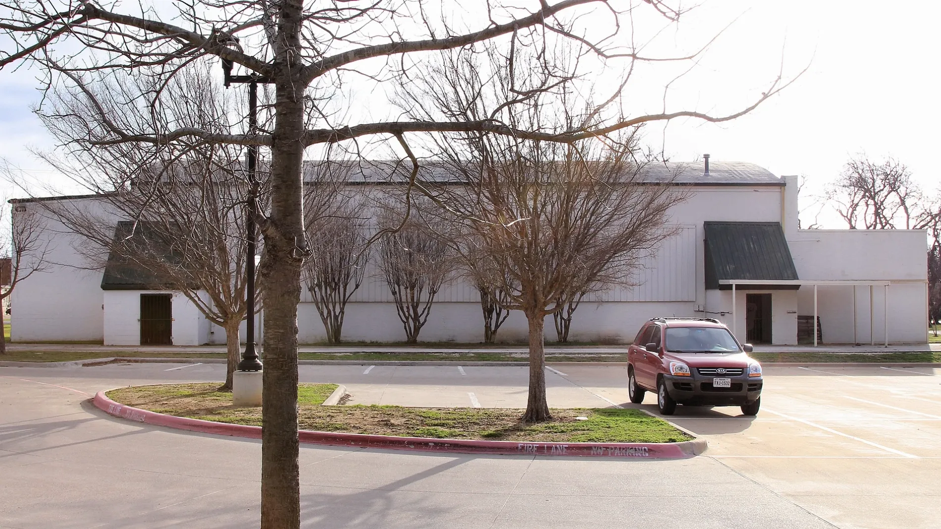
Fast food restaurants
Drugstores
Bakeries
Game stores
Arcades
Cell phone stores
Restaurants
Places of worship
Secondhand stores
Pharmacies
Dentist offices
Clinics
Clothing stores
Hair salons
Laundries
Streets nearby
North Wilson StreetBest Value West Pharmacy
50 ft
North Warren Street350 ft
West King Street350 ft
West Ellison StreetGeek Out
400 ft
South Wilson Street450 ft
North Main Street500 ft
Northeast Johnson Avenue0.1 mi
East Renfro StreetFish City Grill, First Impressions, Stonehaven Dental & Orthodontics
0.1 mi
East Ellison StreetPandan Thai Street Eats, Burleson
0.1 mi
West Renfro StreetBest Value West Pharmacy, Murry Bakery, Orthodontics by Birth and Fletcher
0.1 mi
West Bufford Street0.1 mi
Bransom Street0.1 mi
East Tabb Street0.2 mi
East King Street0.2 mi
Northeast Haskew Street0.2 mi
East Bufford Street0.2 mi
West Eldred Street0.2 mi
South Dobson Street0.2 mi
South Commerce Street0.2 mi
East Eldred Street0.2 mi
Magnolia Street0.2 mi
South Main StreetFresco's Cocina Mexicana, Grump's Burgers, MeccaFox
0.3 mi
West Miller Street0.3 mi
Northeast Anderson Street0.3 mi
Northwest Hillery StreetBest Massage
0.3 mi
Southwest Haskew Street0.3 mi
South Warren Street0.3 mi
Northwest Lorna StreetQuick Wash
0.3 mi
Southwest Johnson Avenue0.3 mi
Northeast Wilshire Boulevard0.3 mi
Southeast Tarrant Avenue0.3 mi
Northwest Ellison Street0.3 mi
Southeast Newton Drive0.4 mi
Auto repair shops nearby
Bartlett Auto Repair0.1 mi
Banks nearby
Ciera Bank0.2 mi
Beauty salons nearby
RDA Pro Mart300 ft
Buildings nearby
Visitors Center350 ft
Cell phone stores nearby
AT&T0.3 mi
Churches nearby
First Baptist Burleson0.2 mi
Convenience stores nearby
QuikTrip0.3 mi
Dentist's offices nearby
Dental Visions150 ft
Fast food restaurants nearby
Fuzzy's Taco Shop0.2 mi
Gas stations nearby
Valero0.3 mi
Parks nearby
Warren Park0.4 mi
Post offices nearby
United States Post Office | Burleson, TX0.4 mi
Restaurants nearby
Babe's Chicken0.1 mi
Lone Star Bar & Grill0.1 mi
Eagle’s Point Bar & Grill0.2 mi
Secondhand stores nearby
Gypsy Trunk & Fabulous Junk0.1 mi
Public transit map Burleson Legend
| Railway | |
| Bus | |
| Streetcar |
Bicycle map Burleson Legend
| Bike path | |
| Bike lane on roadway | |
| Cycling allowed on bus lane | |
| Bicycle street | |
| Open to cyclists | |
| Open to cyclists, good path | |
| Cycling prohibited | |
| Cobblestone |
| Long-distance bike route | (depending on scale) | |
| Long-distance bike route |
Pedestrian map Burleson Legend
| Path |
| Long-distance hiking trail | (depending on scale) | |
| Long-distance hiking trail | ||
| Pedestrians prohibited |