
North Grove Street in Fort Worth, Texas
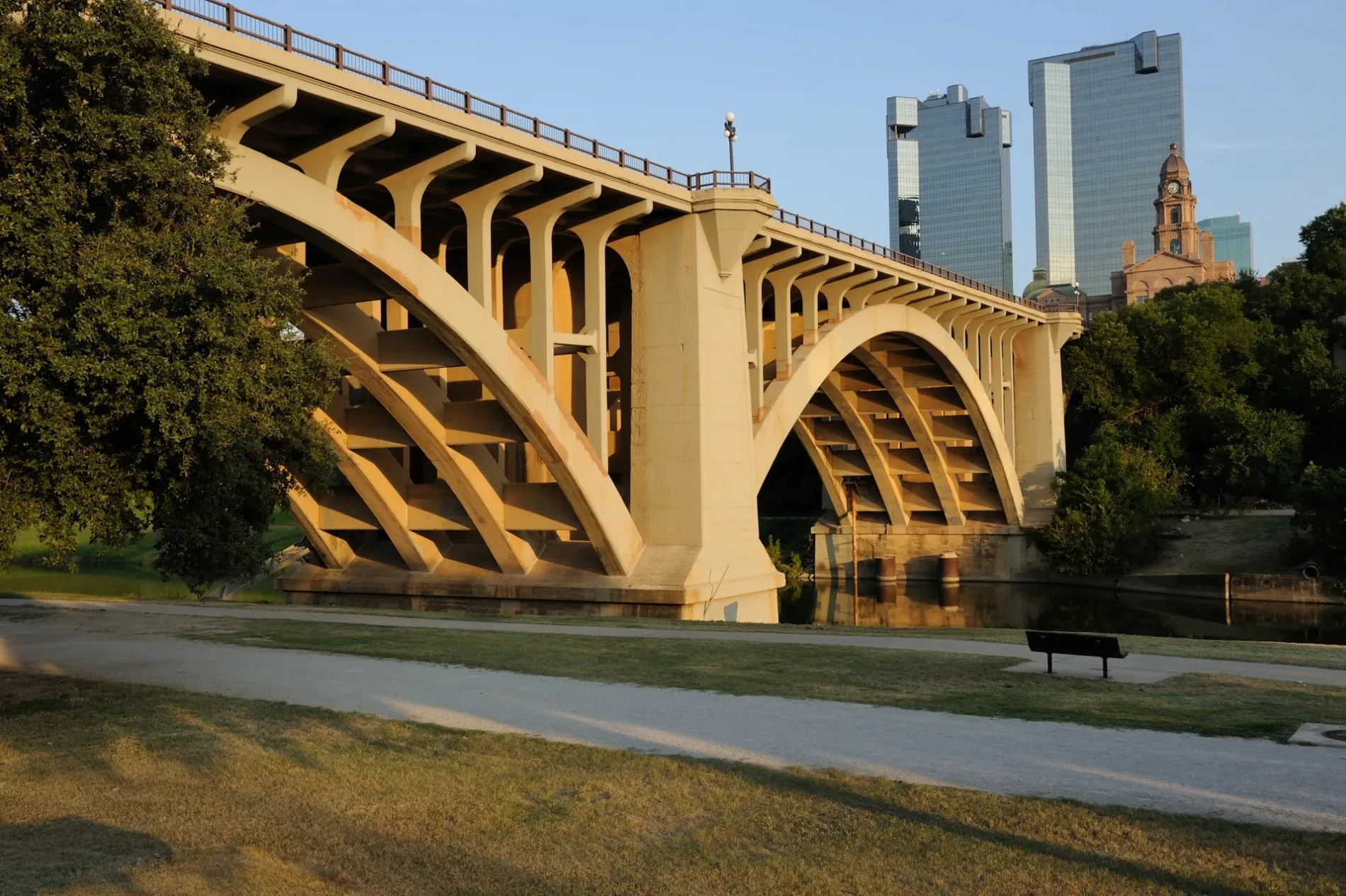
North Grove Street in Fort Worth is a residential street. It runs in a southeast-northwest direction starting from East Bluff Street and crosses East Belknap Street and East Weatherford Street and ends at Grove Street. Nearby you can find 2 places of worship. The nearest bus stop is Commerce & Belknap - Weatherford (about 250 m away). North Grove Street also exists in Uvalde County, Red River County, Henderson County and Harrison County.
- Road Type
- residential street
- Route
- southeast-northwest
Image
Places of worship
Streets nearby
North Jones StreetTom Vandergriff Civil Courts Building
300 ft
North Pecan Street300 ft
Skyline Bluff Drive450 ft
North Calhoun StreetOne Belknap Courthouse
550 ft
Alread Court0.1 mi
Skyline Bluff Court0.1 mi
East Bluff StreetTCC Healthcare Professionals Student Parking, TRHA Building (TCC -TRCE), TCC Campus Waterfall
0.1 mi
East 2nd StreetCity Center - Bicycle rental, Upper West Cleaners
0.1 mi
Jones StreetEnterprise, Jones & 4th, Greyhound Station, Fort Worth Central, M, L, S6, S5, E, D, K, J, I, Valero, S2, S1, B, A, F, G, Subway, Trinity Metro Bikes : Central Station -51-, Fort Worth Intermodal Transportation Center, S4, S3, C, H
0.2 mi
North Elm StreetTrinity Uptown - Bicycle rental, Samuels & Skyline Bluff, Fostepco Heights Baptist Church, El Calvario Methodist Church
0.2 mi
East Weatherford StreetWeatherford & Main - Bicycle rental
0.2 mi
East 3rd StreetCity Place - Bicycle rental, Flying Saucer Draught Emporium, Del Frisco's Double Eagle Steakhouse, RadioShack, Sundance Square Plaza Cascading Fountain
0.2 mi
Terry Street0.2 mi
Peach StreetAvid (An IHG Hotel) - Downtown Fort Worth
0.2 mi
East Belknap StreetBelknap & Samuels, Sonic Drive-In
0.2 mi
East 4th StreetPURINA JCT, Capital One, WEST SYLVANIA
0.2 mi
Grove Street0.3 mi
Calhoun StreetCalhoun & 15th, Calhoun & 3rd
0.3 mi
Crump StreetMorning Chapel Church
0.3 mi
Commerce StreetCommerce & 3rd, Commerce & 8th, Commerce & Belknap - Weatherford, Trinity Metro Bikes : 777 Main -61-, Commerce & 5th, Sheraton Hotel, Tarrant County College - Trinity River Campus East (TCC - TRCE), Tarrant County College - Trinity River Campus East
0.3 mi
Harding Street North0.3 mi
Pecan Street0.3 mi
Harding Street0.3 mi
East 5th Street0.3 mi
Cotton Depot Lane0.3 mi
Martin Luther King Jr FreewaySamuel Prince Memorial Baptist Church, 6TH STREET JCT
0.4 mi
Apartment buildings nearby
Uptown Lofts0.1 mi
Buildings nearby
Wells Fargo Tower0.2 mi
Bank of America Tower0.2 mi
Flying Saucer Draught Emporium0.2 mi
Knights of Pythias Building0.2 mi
Convenience stores nearby
H&M Departmental Stores0.3 mi
Courthouses nearby
Tarrant County Family Law Center0.1 mi
Fire stations nearby
Fort Worth Fire Station 1350 ft
Hotels nearby
TownePlace Suites by Marriott Fort Worth Downtown0.2 mi
Movie theaters nearby
AMC Palace Theatre0.2 mi
Museums nearby
Fire Station #1 (Historical)0.2 mi
Parking lots nearby
Tarrant County Calhoun Street Parking550 ft
Places of worship nearby
Allen Chapel AME Church0.2 mi
Morning Chapel0.3 mi
Mount Gilead Baptist Church0.3 mi
Playgrounds nearby
Montessori School Playground500 ft
Police stations nearby
Fort Worth Police Department Central Division0.3 mi
Public buildings nearby
Tarrant County350 ft
Railways nearby
TEXRail0.3 mi
DFW Subdivision0.4 mi
Residential areas nearby
The Depot0.4 mi
Theaters nearby
Maddox-Muse Center0.3 mi
Bass Performance Hall0.3 mi
Public transit map Fort Worth Legend
| Railway | |
| Bus | |
| Streetcar |
Bicycle map Fort Worth Legend
| Bike path | |
| Bike lane on roadway | |
| Cycling allowed on bus lane | |
| Bicycle street | |
| Open to cyclists | |
| Open to cyclists, good path | |
| Cycling prohibited | |
| Cobblestone |
| Long-distance bike route | (depending on scale) | |
| Long-distance bike route |
Pedestrian map Fort Worth Legend
| Path |
| Long-distance hiking trail | (depending on scale) | |
| Long-distance hiking trail | ||
| Pedestrians prohibited |