
Shadow Trace Drive in Fort Worth, Texas
Shadow Trace Drive in Fort Worth is a residential street and it runs in a north-south direction starting from Diamond Trace Trail and ends at Trace Ridge Parkway. Shadow Trace Drive also exists in Harris County.
- Road Type
- residential street
- Route
- north-south
Image
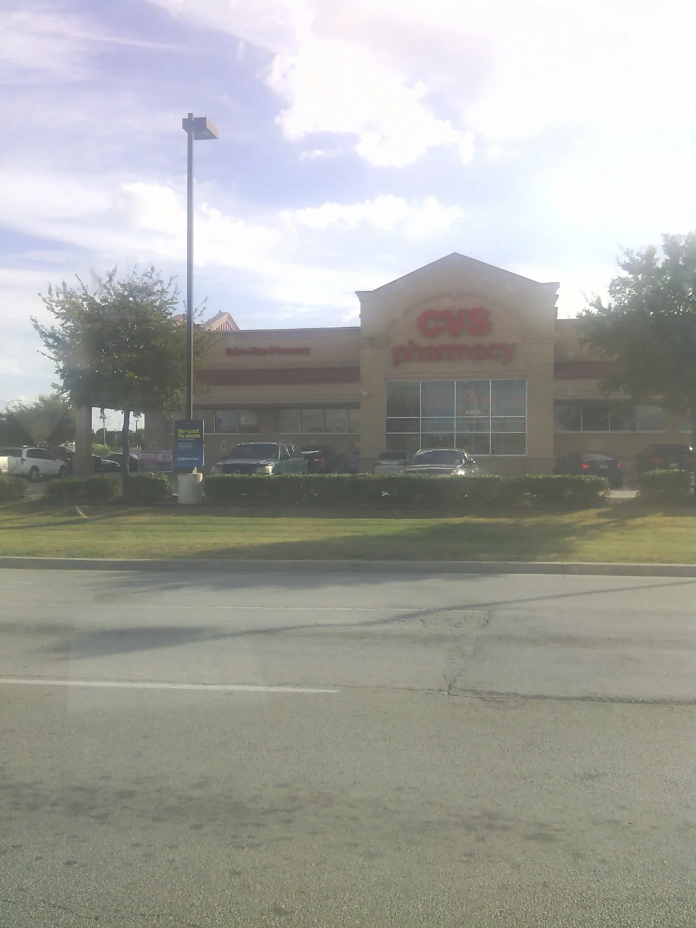
Fast food restaurants
Hair salons
Places of worship
Restaurants
Candy stores
Schools
Currency exchanges
Electronics stores
Bus stops
Cell phone stores
Laundries
Pharmacies
Supermarkets
Streets nearby
Bristol Trace Court400 ft
Trace Ridge Parkway400 ft
Stetson Drive North0.1 mi
Olympia Trace Circle0.1 mi
Campfire Court0.1 mi
Bristol Trace Trail0.1 mi
Carolina Trace Trail0.1 mi
Bridle Path Way0.1 mi
Stetson Drive0.2 mi
Sterling Trace Circle0.2 mi
Lariat Circle0.2 mi
Western Meadows Court0.2 mi
Alexandra Trace Trail0.2 mi
Eagle Trace Drive0.2 mi
Western Meadows Drive0.2 mi
Happy Trail0.2 mi
Diamond Trace Trail0.2 mi
Latrobe Trace Way0.2 mi
Stetson Drive South0.2 mi
Springmont Lane0.3 mi
Valley Springs Trail0.3 mi
Emerald Trace Way0.3 mi
Sunset Trace Drive0.3 mi
Ram Ridge Court0.3 mi
Spring Haven Drive0.3 mi
Fayetteville Drive0.3 mi
Heber Springs Trail0.3 mi
Chaps Avenue0.3 mi
Washita Court0.3 mi
Washita Way0.3 mi
North Tarrant ParkwayJJ's Taco Shop, Jet's Pizza, KPOT Korean BBQ & Hot Pot, Paris Baguette, Kura Sushi, N Beach & Tarrant, Wingstop, In-N-Out Burger, Batteries Plus Bulbs, Uptown Cheapskate Watauga, N Tarrant & Cumberland Gap, Tarrant & Arcadia Park, Tarrant & Cumberland, ROOT Periodontal and Implant Center - Fort Worth/Keller
0.4 mi
Spring Garden Drive0.4 mi
Stirrup Way0.4 mi
Spur Ridge Court0.4 mi
Jodi Drive0.4 mi
Quartz Court0.4 mi
Spring Mist Cove0.4 mi
Eaglestone Way0.4 mi
Spring View Lane0.4 mi
Culberson Court0.4 mi
Brimstone Drive0.5 mi
Quarry Circle0.5 mi
Shiver Road0.5 mi
Banks nearby
Unity One Credit Union0.3 mi
Wakovia Bank0.4 mi
Fast food restaurants nearby
DQ Grill & Chill0.4 mi
Tacovilla0.4 mi
Gas stations nearby
Murphy USA0.4 mi
Supermarkets nearby
Walmart Supercenter0.3 mi
Public transit map Fort Worth Legend
| Railway | |
| Bus | |
| Streetcar |
Bicycle map Fort Worth Legend
| Bike path | |
| Bike lane on roadway | |
| Cycling allowed on bus lane | |
| Bicycle street | |
| Open to cyclists | |
| Open to cyclists, good path | |
| Cycling prohibited | |
| Cobblestone |
| Long-distance bike route | (depending on scale) | |
| Long-distance bike route |
Pedestrian map Fort Worth Legend
| Path |
| Long-distance hiking trail | (depending on scale) | |
| Long-distance hiking trail | ||
| Pedestrians prohibited |