
Cowboy Drive in Forney, Texas
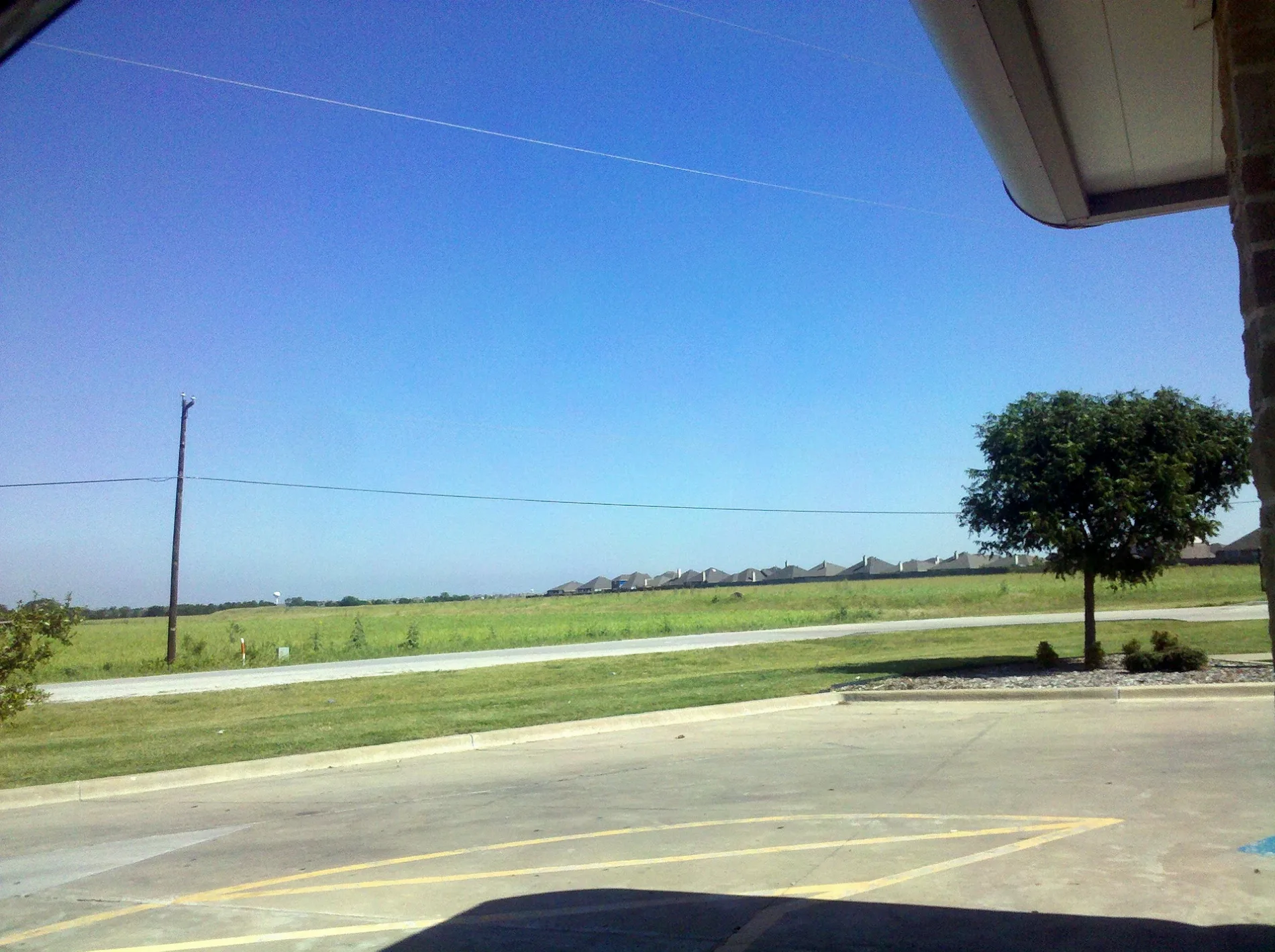
Cowboy Drive in Forney is a two-lane, concrete residential street and it runs in a northeast-southwest direction starting from Lonesome Dove Lane and ends at Painted Trail. Cowboy Drive also exists in Bell County and Dallas County.
- Road Type
- residential street
- Lanes
- 2
- Route
- northeast-southwest
Image
Pharmacies
Cell phone stores
Hair salons
Post offices
Restaurants
Payment terminals
Video game stores
Clinics
Fast food restaurants
Beauty salons
Vending machines
Cafes
Dentist offices
Streets nearby
Drycreek Drive250 ft
Cherokee Drive250 ft
Clemson Lane350 ft
Highcreek Drive500 ft
Painted Trail0.1 mi
Auburn Lane0.1 mi
Lonesome Dove Lane0.1 mi
Trailhouse Lane0.2 mi
Kroger DriveKroger Pharmacy
0.2 mi
Stockton Drive0.2 mi
Cisco Trail0.2 mi
North FM 548Starbucks, GameStop, Napoli's, AT&T, Taco Casa
0.2 mi
Gollum Street0.2 mi
Arbury Drive0.3 mi
Merino Lane0.3 mi
Cardinal Drive0.3 mi
Marketplace BoulevardTokyo Harbor, Los Hermanos, Huddle House, MOD Pizza, The Nail Lounge
0.4 mi
Marlee Drive0.4 mi
Highspire Drive0.4 mi
Ridgecrest RoadLara's Hair Salon, Country Cleaners, DL Nails, Wacky Donuts, Domino's
0.4 mi
Don T Cates Drive0.4 mi
East US Highway 80Schlotzsky's, The UPS Store, Cristina's Fine Mexican Restaurant, Leslie's Pool Supplies, Ideal Dental, Euphoria Nail Spa, Cowboy Chicken, Oscar Delta, T-Mobile, CAVA
0.5 mi
Amenities nearby
The Learning Experience0.1 mi
Auto repair shops nearby
Jiffy Lube0.2 mi
Banks nearby
Texas Bank and Trust0.2 mi
Chase0.4 mi
Bed stores nearby
Sleep Experts0.5 mi
Cafes nearby
Dutch Bros. Coffee0.2 mi
Department stores nearby
Kohl's0.3 mi
Drugstores nearby
Walgreens0.3 mi
Fast food restaurants nearby
Golden Chick0.1 mi
Popeyes0.2 mi
Sonic0.3 mi
Wendy's0.6 mi
Chick-fil-A0.6 mi
Gas stations nearby
Kroger0.2 mi
Murphy USA0.5 mi
Hardware stores nearby
Lowe's0.5 mi
Movie theaters nearby
AMC CLASSIC Forney 120.2 mi
Residential areas nearby
Mustang Place0.1 mi
The Emerson at Forney Marketplace0.2 mi
Wildwood Luxury Urban Homes0.3 mi
Restaurants nearby
Chili's0.5 mi
Retail areas nearby
Shafer Plaza at Mustang Creek0.2 mi
Mustang Crossing at Forney0.6 mi
Social facilities nearby
Ridgecrest Healthcare & Rehabilitation Center0.2 mi
Supermarkets nearby
Aldi0.2 mi
Kroger Marketplace0.2 mi
Walmart Supercenter0.4 mi
Public transit map Forney Legend
| Railway | |
| Bus | |
| Streetcar |
Bicycle map Forney Legend
| Bike path | |
| Bike lane on roadway | |
| Cycling allowed on bus lane | |
| Bicycle street | |
| Open to cyclists | |
| Open to cyclists, good path | |
| Cycling prohibited | |
| Cobblestone |
| Long-distance bike route | (depending on scale) | |
| Long-distance bike route |
Pedestrian map Forney Legend
| Path |
| Long-distance hiking trail | (depending on scale) | |
| Long-distance hiking trail | ||
| Pedestrians prohibited |