
North Bois d’Arc Street in Forney, Texas
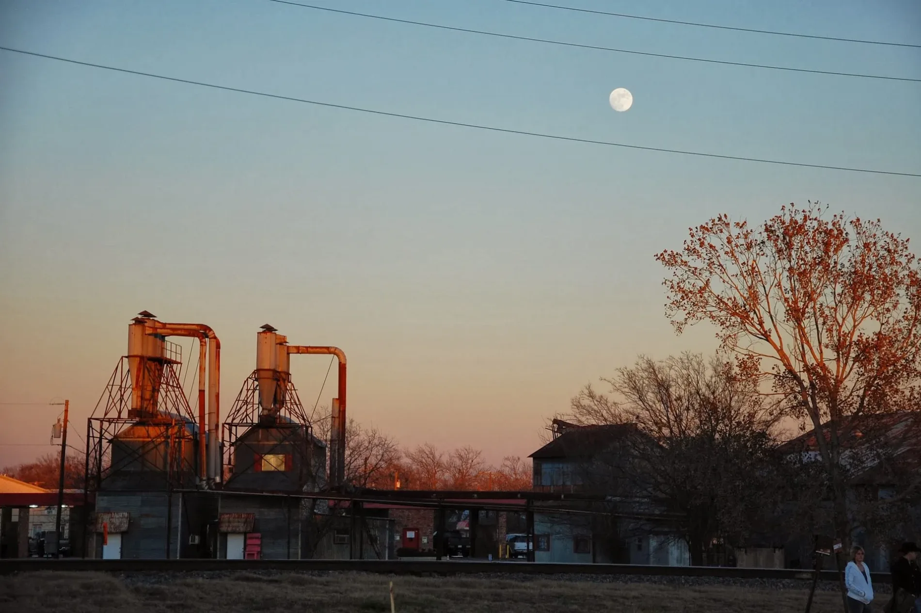
North Bois d’Arc Street in Forney is an asphalted residential street. It runs in a northeast-southwest direction starting from Boles Street and crosses East Buffalo Street, West Buffalo Street, East Aimee Street, West Aimee Street, East Broad Street and West Broad Street and ends at North Bois d'Arc Street. Nearby you can find a mailbox and a restaurant.
- Road Type
- residential street
- Route
- northeast-southwest
Image
Restaurants
Streets nearby
North Bois d'Arc Street250 ft
East Broad Street350 ft
West Pacific Street550 ft
East Pacific Street0.1 mi
West Broad Street4-T's BBQ
0.1 mi
West Front Street0.1 mi
Elm Street0.1 mi
Burgett Street0.1 mi
North Center Street0.1 mi
Front Street0.1 mi
West Buffalo Street0.1 mi
North McGraw Street0.1 mi
South McGraw StreetMerle Norman Cosmetics Forney
0.1 mi
South Bois d'Arc StreetForney Jackrabbit, Eno's Pizza Tavern, Forney Donut Shop
0.2 mi
West Main Street0.2 mi
East Main StreetForney, Latham Bakery
0.2 mi
South Center Street0.2 mi
East Trinity Street0.2 mi
West Aimee Street0.2 mi
Pinson RoadMetro by T-Mobile
0.2 mi
Houston Street0.3 mi
Austin Street0.3 mi
West Trinity StreetCrumbzz
0.3 mi
West Church Street0.4 mi
Weaver Street0.4 mi
Border Street0.4 mi
Auto repair shops nearby
Forney Radiator & DPF Service350 ft
Stewarts Automotive0.2 mi
Forney Kwik Kar0.2 mi
Carter Automotive of Forney0.2 mi
Banks nearby
The American National Bank0.3 mi
Buildings nearby
Allstate0.2 mi
Nexxus Homes0.2 mi
Cemeteries nearby
Hillcrest Cemetery0.3 mi
Convenience stores nearby
Jack Rabbit Quick Stop300 ft
Courthouses nearby
Kaufman County Sub-Courthouse0.2 mi
Fire stations nearby
Forney Fire Department450 ft
Hair salons nearby
Divine Salon0.3 mi
Parks nearby
Hamblen Park0.1 mi
Bell Park0.2 mi
Xeric Garden0.2 mi
Places of worship nearby
Fellowship Forney0.3 mi
Post offices nearby
Forney Post Office250 ft
Residential areas nearby
Heathridge0.3 mi
Restaurants nearby
Mama's Daughters' Diner0.1 mi
Doe Belly's0.2 mi
Retail areas nearby
Buffalo Corners0.2 mi
Tire dealers nearby
Forney Tire & Service450 ft
Town halls nearby
Forney City Hall0.1 mi
Public transit map Forney Legend
| Railway | |
| Bus | |
| Streetcar |
Bicycle map Forney Legend
| Bike path | |
| Bike lane on roadway | |
| Cycling allowed on bus lane | |
| Bicycle street | |
| Open to cyclists | |
| Open to cyclists, good path | |
| Cycling prohibited | |
| Cobblestone |
| Long-distance bike route | (depending on scale) | |
| Long-distance bike route |
Pedestrian map Forney Legend
| Path |
| Long-distance hiking trail | (depending on scale) | |
| Long-distance hiking trail | ||
| Pedestrians prohibited |