
Earl Garrett Street in Kerrville, Texas
Earl Garrett Street in Kerrville is a residential street. It runs in a northeast-southwest direction starting from Myrta Street and crosses Bulwar Avenue, Barnett Street, North Street, Jefferson Street and Main Street and ends at Water Street. Nearby there is a place of worship.
- Road Type
- residential street
- Route
- northeast-southwest
Image
Places of worship
Streets nearby
Washington StreetHair Productions, Zen Room
0.1 mi
Main StreetH-E-B Pharmacy, Cricket Wireless, Jimmy John's, Daily Donuts
0.1 mi
North Street0.1 mi
Sidney Baker StreetHalo Hair Studio, McDonald's, Qdoba, Starbucks
0.2 mi
Garden Street0.2 mi
Spring Street0.2 mi
Saint Peter Street0.2 mi
Jefferson StreetTotal Image Salon, Kerrville
0.2 mi
Enderle Court0.3 mi
Water StreetGrape Juice, PO PO Restaurant @ Pampell's Corner, Francisco's Restaurant
0.3 mi
Shops nearby
Lonestar Title Loans0.1 mi
Auto parts stores nearby
Napa Auto Parts0.2 mi
Banks nearby
Pioneer Bank0.2 mi
Buildings nearby
Advanced Computer Repair350 ft
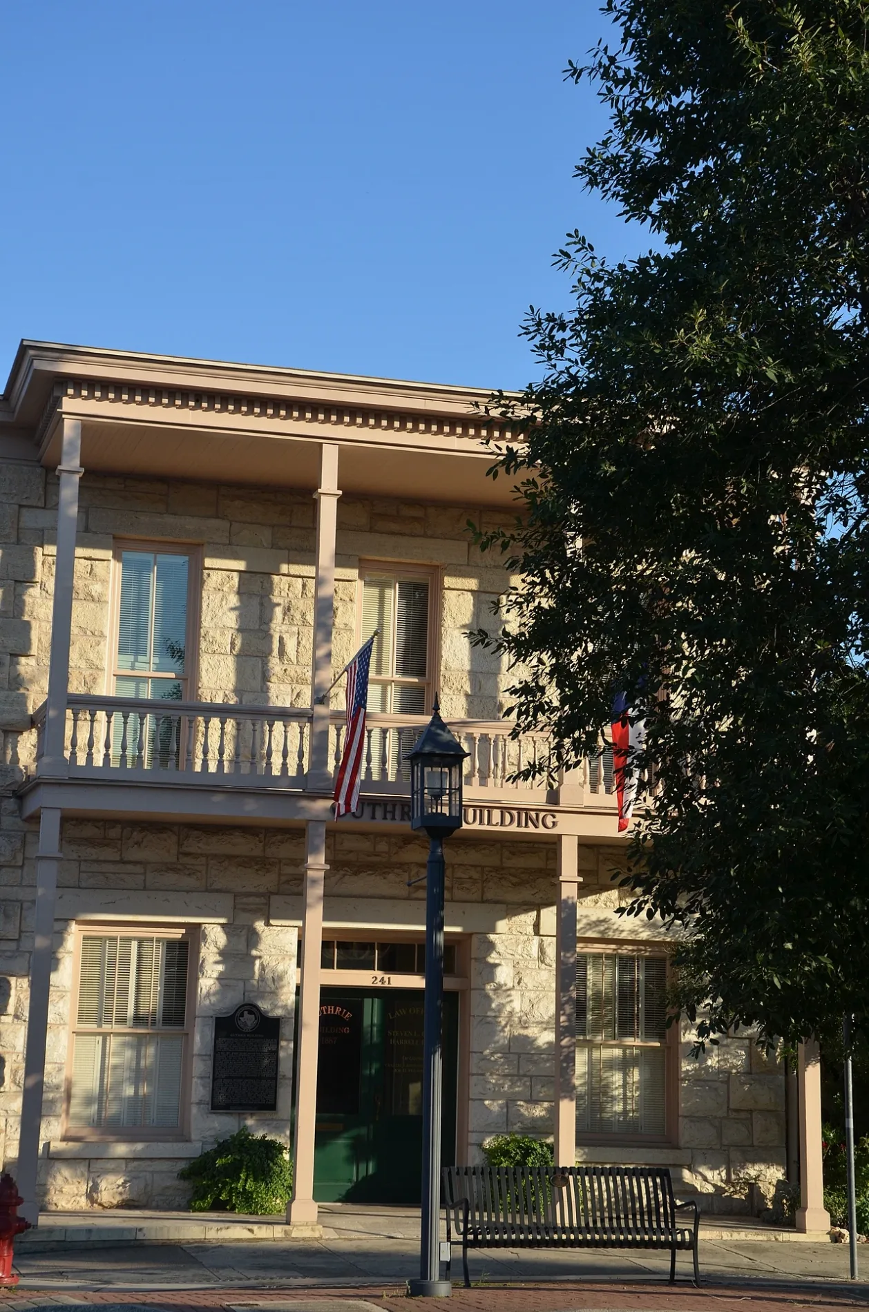
Guthrie Building350 ft
Masonic Building0.1 mi
Arden Hills Realty0.2 mi
Churches nearby
Tucker Hall0.2 mi
Shelton Hall0.3 mi
Commercial areas nearby
Kathleen C. Cailloux City Center for the Performing Arts0.2 mi
Commercial buildings nearby
Grimes Funeral Home350 ft
Convenience stores nearby
Circle K0.2 mi
Courthouses nearby
Kerr County Courthouse200 ft
Drugstores nearby
Walgreens0.2 mi
Fast food restaurants nearby
Taco to Go0.2 mi
Freddy's Frozen Custard & Steakburgers0.2 mi
Garden centers nearby
The Plant Haus0.2 mi
Gas stations nearby
Valero0.2 mi
Shell0.2 mi
Jewelry stores nearby
Baublit's Jewelers0.2 mi
Museums nearby
Kerr Arts & Cultural Center450 ft
Schreiner Mansion - Historic Site and Event Center500 ft
Office buildings nearby
Kerrville Cancer Center | City University0.2 mi
Parking lots nearby
Public Downtown Parking Garage0.2 mi
Parks nearby
Boardwalk Pavilion0.2 mi
Places of worship nearby
First Presbyterian Church0.1 mi
St. Peter's Episcopal Church and School0.2 mi
Police stations nearby
Kerrville Police Department0.1 mi
Religious areas nearby
Notre Dame Catholic Church0.2 mi
St Peter's Episcopal Church0.2 mi
Residential areas nearby
Adobe House Apartments0.2 mi
Jefferson Manor Apartments0.2 mi
Restaurants nearby
Rails0.2 mi
Secondhand stores nearby
The Cottage Shop0.3 mi
Tea shops nearby
Brewtopia Tea House0.2 mi
Theaters nearby
VK Garage Theater0.1 mi
Cailloux Theater0.1 mi
Old Arcadia Theater0.2 mi
Town halls nearby
Kerrville City Hall0.1 mi
Public transit map Kerrville Legend
| Railway | |
| Bus | |
| Streetcar |
Bicycle map Kerrville Legend
| Bike path | |
| Bike lane on roadway | |
| Cycling allowed on bus lane | |
| Bicycle street | |
| Open to cyclists | |
| Open to cyclists, good path | |
| Cycling prohibited | |
| Cobblestone |
| Long-distance bike route | (depending on scale) | |
| Long-distance bike route |
Pedestrian map Kerrville Legend
| Path |
| Long-distance hiking trail | (depending on scale) | |
| Long-distance hiking trail | ||
| Pedestrians prohibited |