
Tivy Street in Kerrville, Texas
Tivy Street in Kerrville is a local road. It runs in a northeast-southwest direction and crosses Prescott Street, 5th Street, Wheless Avenue, 4th Street, Myrta Street, 3rd Street, Barnett Street, North Street, Aransas Street, Garden Street, Jefferson Street and Main Street.
- Road Type
- residential street
- Route
- northeast-southwest
Image
Cell phone stores
Clinics
Pharmacies
Post offices
Artworks
Fast food restaurants
Massage therapy clinics
Places of worship
Pet stores
Beauty salons
Gift shops
Restaurants
Hair salons
Banks
Hearing aid centers
Gun stores
Car washes
Streets nearby
Water StreetGrape Juice, PO PO Restaurant @ Pampell's Corner, Francisco's Restaurant
200 ft
Enderle Court400 ft
Live Oak500 ft
A Street500 ft
Broadway550 ft
Spring Street0.1 mi
Saint Peter Street0.1 mi
B Street0.2 mi
Main StreetH-E-B Pharmacy, Cricket Wireless, Jimmy John's, Daily Donuts
0.2 mi
Washington StreetHair Productions, Zen Room
0.2 mi
River TrailLupe
0.2 mi
C Street0.2 mi
Louise Hays Park RoadCentennial Bank
0.3 mi
Park LaneSubway, Heart Clinic of San Antonio, Domino's, Pet Supplies Plus, Spectrum Audiology
0.4 mi
Rio Vista Drive0.4 mi
Kerr County Avenue0.4 mi
La Casa DriveHallmark, Happy Nail & Spa, Awesome Cuts & Color, The UPS Store, Boost Mobile, Cartridge World
0.4 mi
Amenities nearby
Fighting Chance Academy0.2 mi
Auto repair shops nearby
Central Automotive150 ft
Buildings nearby
Advanced Computer Repair0.3 mi
Masonic Building0.3 mi
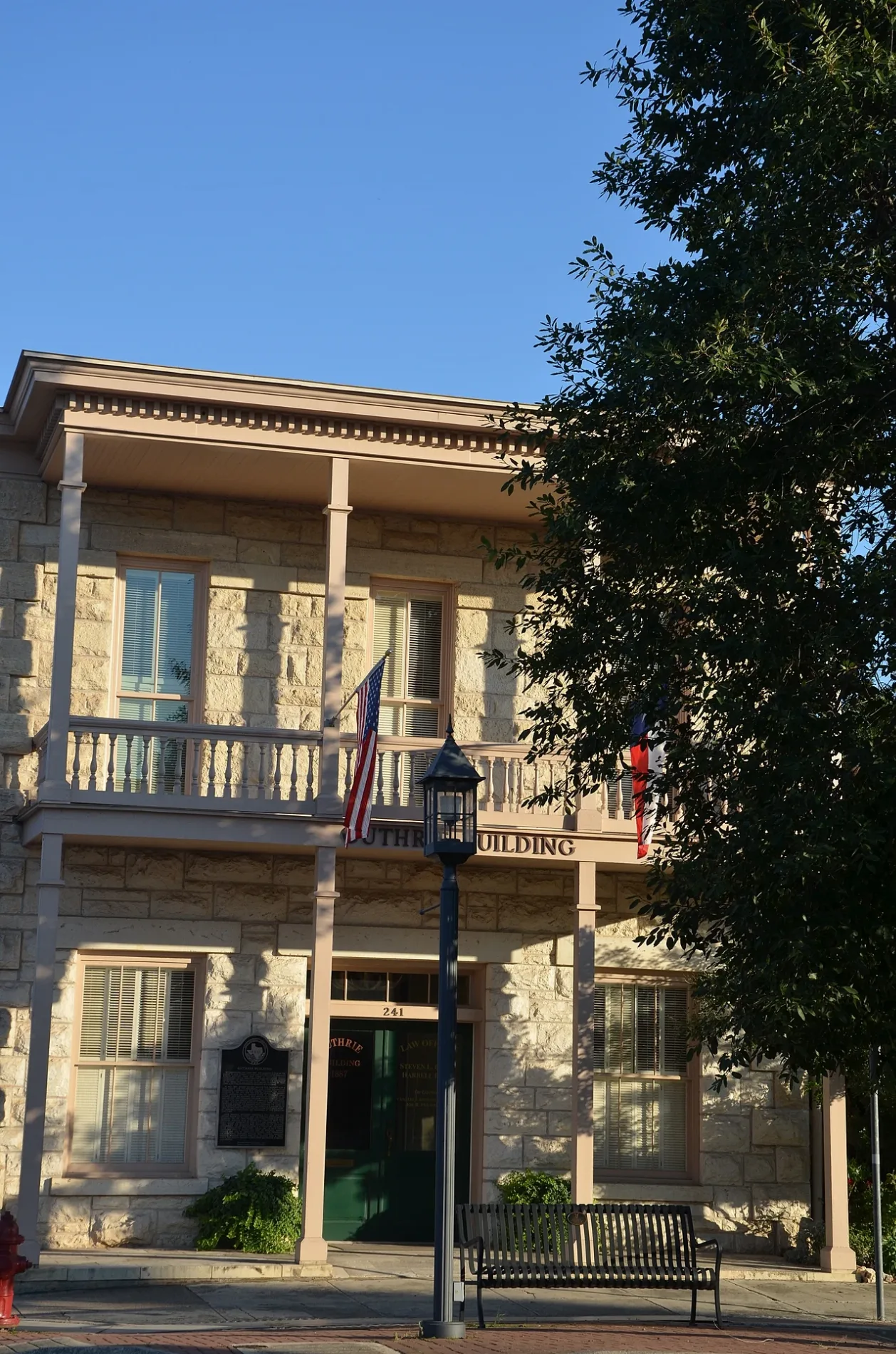
Guthrie Building0.3 mi
Churches nearby
Shelton Hall500 ft
Tucker Hall0.1 mi
Commercial areas nearby
River Guide Village0.1 mi
Kathleen C. Cailloux City Center for the Performing Arts0.2 mi
Convenience stores nearby
Mini Mart250 ft
Dog parks nearby
Lehmann Monroe Dog Park0.3 mi
Farm stores nearby
Kerr County Produce0.1 mi
Fitness centers nearby
The Center for Fitness0.3 mi
Bella Luz0.3 mi
Gas stations nearby
Conoco300 ft
Jewelry stores nearby
Baublit's Jewelers0.3 mi
Parks nearby
Boardwalk Pavilion0.2 mi
Lehmann-Monroe Park0.4 mi
Pharmacies nearby
The Medicine Stop500 ft
Places of worship nearby
St. Peter's Episcopal Church and School0.1 mi
Sunrise Baptist Church0.2 mi
Religious areas nearby
St Peter's Episcopal Church0.1 mi
Notre Dame Catholic Church0.1 mi
Residential areas nearby
Jefferson Manor Apartments0.2 mi
Park Lane Apartments0.4 mi
La Casa Apartments0.4 mi
Secondhand stores nearby
The Cottage Shop450 ft
Social facilities nearby
Edgewater Care Center0.2 mi
Stationery stores nearby
OfficeMax0.4 mi
Supermarkets nearby
H-E-B0.4 mi
Theaters nearby
Cailloux Theater0.2 mi
VK Garage Theater0.2 mi
Public transit map Kerrville Legend
| Railway | |
| Bus | |
| Streetcar |
Bicycle map Kerrville Legend
| Bike path | |
| Bike lane on roadway | |
| Cycling allowed on bus lane | |
| Bicycle street | |
| Open to cyclists | |
| Open to cyclists, good path | |
| Cycling prohibited | |
| Cobblestone |
| Long-distance bike route | (depending on scale) | |
| Long-distance bike route |
Pedestrian map Kerrville Legend
| Path |
| Long-distance hiking trail | (depending on scale) | |
| Long-distance hiking trail | ||
| Pedestrians prohibited |