
Surfside Boulevard in Corpus Christi, Texas
Surfside Boulevard in Corpus Christi is a two-lane, asphalted local road. It runs in a northeast-southwest direction starting from Gulden Street and crosses Reef Avenue, Beach Avenue, Hayes Street, Neal Street, Gulfspray Avenue, Bushick Place, Breaker Avenue, Burleson Street, South Hotel Place, Paul Place and Kleberg Place. Nearby there is among others a vacation apartment. The nearest stops are Surfside @ Villa Del Sol, Surfside @ Breakwater, Surfside @ Bushick, Surfside @ Gulfspray and Surfside @ Hayes. The bus lines 76 and 78 serve this stop.
- Road Type
- local road
- Speed Limit
- 30 mph
- Lanes
- 2
- Route
- northeast-southwest
Image
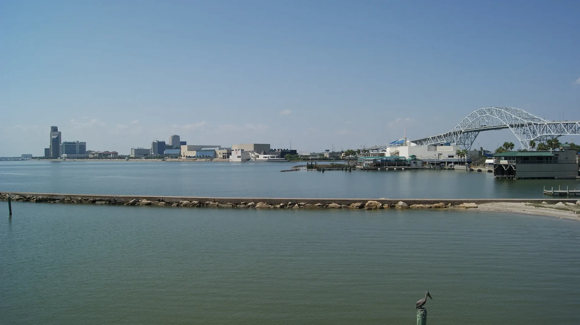
Vacation apartments
Streets nearby
Coastal Avenue300 ft
Elm StreetSurfside @ Elm (Hotel)
400 ft
Bridgeport Avenue400 ft
North Shoreline BoulevardShoreline @ Bridgeport, Selena Memorial Statue, Saturn, Jupiter, Asteroids, Mars, Earth, Venus, Mercury, Sun, Voyage Information, Shoreline @ Lawrence, Peoples T-Head, Orion's Belt, Pluto, Citrus Bistro, Shoreline @ Art Center, Gallery 41, Neptune, Uranus
0.1 mi
Golf PlaceSurfside Cottages
0.1 mi
Breakwater AvenueFan Pavillion
0.1 mi
Kleberg Place0.2 mi
West Surfside Boulevard0.2 mi
Plum Street0.2 mi
Paul PlaceSurfside @ Paul
0.2 mi
Timon BoulevardTimon @ Neal, Timon @ Surfboard, Timon @ Churchdale, Timon @ Paul, Timon @ Elm (Sandy Shores), Giant milk bottle
0.2 mi
East Walnut Street0.2 mi
South Hotel Place0.3 mi
West Causeway Boulevard0.3 mi
Seigler Street0.3 mi
East Causeway Boulevard0.3 mi
Breaker Avenue0.3 mi
Burleson StreetNorth Beach
0.4 mi
Churchdale Avenue0.4 mi
Bushick Place0.4 mi
Stewart Place0.5 mi
Harbor Bridge Shared Use Path Trail0.5 mi
Seagull Boulevard0.5 mi
Saint Charles Street0.5 mi
New Harbor Bridge0.5 mi
Bars nearby
Blue Marlin Saloon400 ft
Poolside bar for Radisson Hotel400 ft
Clothing stores nearby
Splash550 ft
Convenience stores nearby
Beachside Market0.4 mi
Gas stations nearby
Exxon0.4 mi
Gift shops nearby
Palace Beachwear & Gifts300 ft
Sea Treasures Gift Shop0.1 mi
North Beach Gift Shop0.1 mi
Hotels nearby
Regency Inn50 ft
DoubleTree by Hilton Corpus Christi Beachfront350 ft
Motels nearby
Sea Shell Inn Motel0.2 mi
Hotel De Ville0.2 mi
Knights Inn0.3 mi
Budget Inn0.5 mi
Parks nearby
Surfside Park0.5 mi
Places of worship nearby
Our Lady Star of the Sea0.2 mi
Harborview Chapel0.4 mi
Restaurants nearby
Blackbeard's On the Beach300 ft
Tropical Ocean Cafe350 ft
Yo Philly Cheese Steaks & Subs0.2 mi
Pier 990.2 mi
Fajitaville0.3 mi
Tattoo studios nearby
Electric Cobra Tattoo350 ft
Veterinary clinics nearby
K9 Conditioning and Rehab Services0.1 mi
Public transit map Corpus Christi Legend
| Railway | |
| Bus | |
| Streetcar |
Bicycle map Corpus Christi Legend
| Bike path | |
| Bike lane on roadway | |
| Cycling allowed on bus lane | |
| Bicycle street | |
| Open to cyclists | |
| Open to cyclists, good path | |
| Cycling prohibited | |
| Cobblestone |
| Long-distance bike route | (depending on scale) | |
| Long-distance bike route |
Pedestrian map Corpus Christi Legend
| Path |
| Long-distance hiking trail | (depending on scale) | |
| Long-distance hiking trail | ||
| Pedestrians prohibited |