
Leander, Texas
Leander is located in Texas. About 26,521 people live here. Between 2010 and 2020, the population grew from 26,521 to 59,202. The region is at 298 meters above sea level. The area covers about 77.0 square kilometers. There are about 3.007 streets in Leander. The ZIP codes are 78641–78646. Leander is city in Wiliamson Couty, Texas, United States. Among other things, Leander has public Transport, restaurants, cafés, supermarkets, clothing Stores, schools, banks, hair Salons, dentists, doctors and pharmacies. More information at www.ci.leander.tx.us.
Leander – Facts
| Population | 59202 |
|---|---|
| Area | 77.0 km² |
| Elevation | 298 m |
| Located in | Williamson County |
| Postal code | 78641 |
| Country | United States |
| Official name | Leander |
| Website | http://www.ci.leander.tx.us |
Data source: Wikidata (CC0)
Photos from Leander
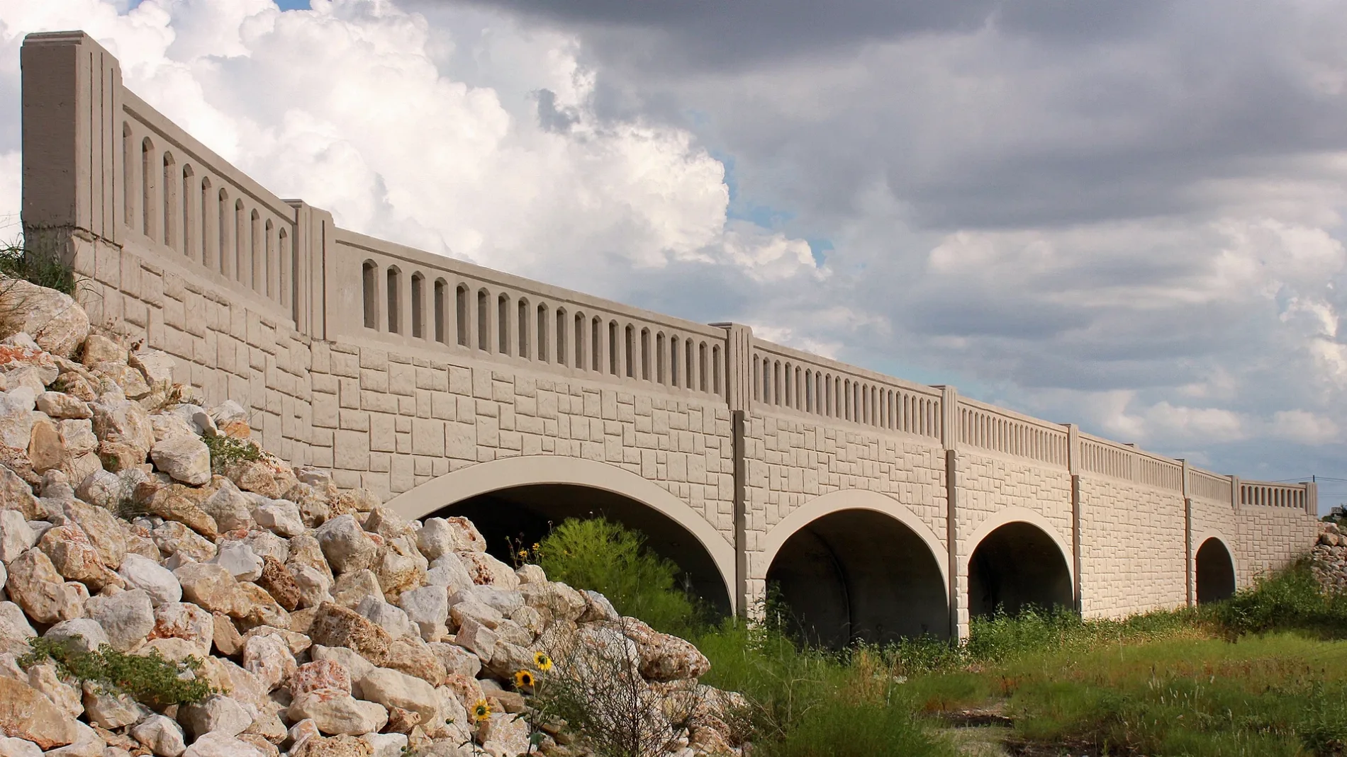
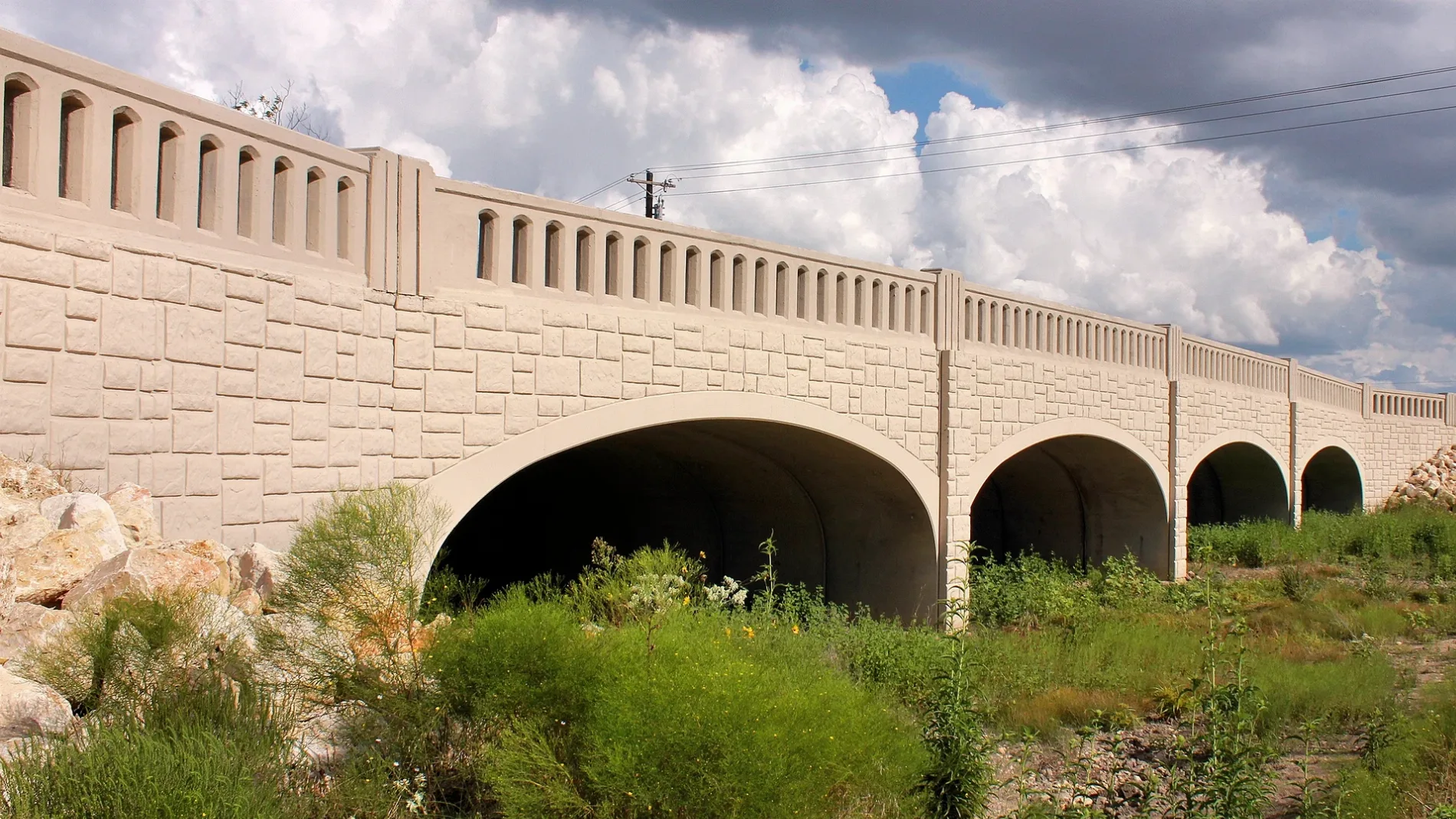
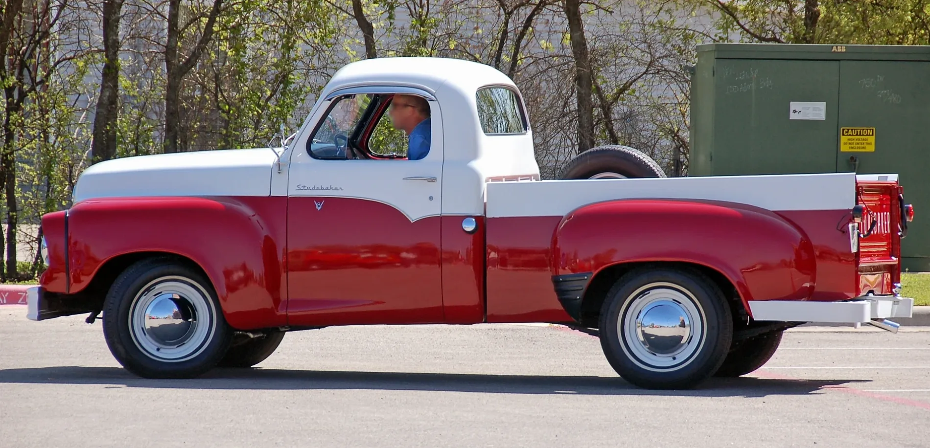
Streets in Leander, Texas
Streets
Winding Oak Trail
White Mistflower Drive
Saint Michelle Court
Ireland Drive
Silvergrass Cove
Wildcatter
Pasa Tiempo
Sunset Vista Cove
Lancaster Drive
Critty Lane
Easy Money
Sioux Trail
Parkhurst Drive
Sequoia Drive
La Cantera
Brunelli Pass
Natchez Trail
CR 175
Lafayette Square Drive
Mediterranean
Osprey Drive
Peregrine Way
Hideout Cove
San Gabriel Campus Drive
Quemado Drive
Adaptable Avenue
Rhetts Place
W Parkside Pkwy
Tailwater Cove
West Drive
Cornith Lane
Laverne Mitchell Street
Clayton Drive
Penstemon Drive
Fandango
Desert Shade Bend
Bardella Drive
Via Roma Pass
Sil Cove
Rare Cat
Arbor Acres Loop
Pawnee
Tribal Way
Overstreet Lane
Traditions Court
Melda Street
Napa Cove
Danbury Lane
Beard Pass
West South Street
Speaking Rock
Cappello Way
Matheson Drive
Burgess Drive
County Cork Lane
West Willis Street
Modena Bay Bend
Steece Way
Laurel Arbor Drive
Bonita Court
Candlelight Drive
River Crest
Auto parts stores
Gas stations
Industrial areas
Residential areas
Retail areas
Streams
Swimming pools
Waters
Public transit map Leander Legend
| Railway | |
| Bus | |
| Streetcar |
Bicycle map Leander Legend
| Bike path | |
| Bike lane on roadway | |
| Cycling allowed on bus lane | |
| Bicycle street | |
| Open to cyclists | |
| Open to cyclists, good path | |
| Cycling prohibited | |
| Cobblestone |
| Long-distance bike route | (depending on scale) | |
| Long-distance bike route |
Pedestrian map Leander Legend
| Path |
| Long-distance hiking trail | (depending on scale) | |
| Long-distance hiking trail | ||
| Pedestrians prohibited |