
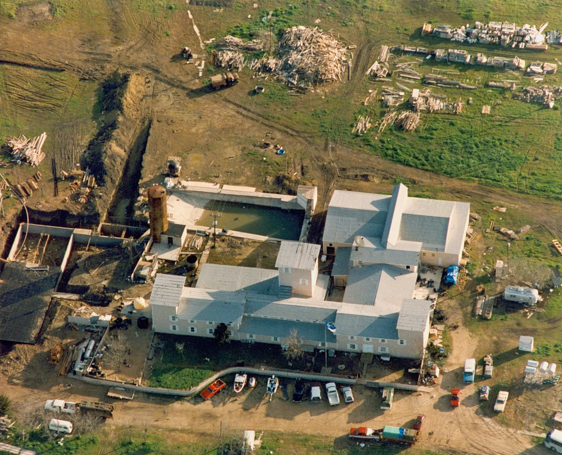
Mount Carmel Center in McLennan County, Texas
Mount Carmel Center in McLennan County is a brownfield (General Association of Branch Davidian Seventh-day Adventists), Double EE Ranch Road (76705). Mount Carmel Center is also known as Branch Davidian Compound. Ⓦ.
- Postal Code
- 76705
- Street
- Double EE Ranch Road
- Alternate Name
- Branch Davidian Compound
- Land Use
- brownfield
- Operator
- General Association of Branch Davidian Seventh-day Adventists
Image
Streets nearby
Elk RoadElk, Saint Joseph Church
0.9 mi
Pearly Gate Road1.3 mi
Pep Club Road1.4 mi
Busch Lane1.5 mi
Double EE Ranch Road1.7 mi
Old Mexia Road1.7 mi
Sgt Rich Road1.9 mi
Oak Lake Road1.9 mi
Bumpy Road2.0 mi
Lazy Oaks Drive2.0 mi
Leon Drive2.0 mi
Radio Tower Road2.2 mi
Lemley Lane2.3 mi
Beaver Lane2.3 mi
Blackjack Circle2.3 mi
Frazier Lane2.4 mi
Native Oaks Road2.5 mi
West Old Axtell Road2.7 mi
Beaver Lake Road2.7 mi
Mammy Lane2.7 mi
Coyote Run2.8 mi
Four Winds Lane2.9 mi
East US Highway 842.9 mi
Gloryland Road2.9 mi
South Pleasant Hill Road2.9 mi
South League Ranch Road2.9 mi
Trading Post Road3.0 mi
Cemeteries nearby
Harper Cemetery2.7 mi
Dams nearby
Soil Conservation Service Site 29 Dam1.8 mi
Felton Lower Lake Dam1.8 mi
Oak Lake Dam1.9 mi
Felton Upper Lake Dam1.9 mi
W O Gross Jr Dam2.2 mi
Tradinghouse Creek Dam2.3 mi
Patterson Dam2.5 mi
Yowell Lake Dam2.6 mi
General stores nearby
Axtell BBQ n Mini Mart2.8 mi
Places of worship nearby
The Branch0.2 mi
Rivers nearby
Tradinghouse Creek3.0 mi
Sports fields nearby
Axtell Gun Range2.5 mi
Streams nearby
Williams Creek1.4 mi
Waters nearby
Oak Lake1.6 mi
Soil Conservation Service Site 29 Reservoir1.8 mi
Felton Upper Lake2.0 mi
Gross Lake2.1 mi
Felton Lower Lake2.1 mi
Stratton Lake2.5 mi
Yowell Lake2.5 mi
Other nearby
Tradinghouse Substation2.0 mi
| Official opening | 1958 |
|---|---|
| Located in | Texas |
| Country | United States |
| Key event | Waco Siege |
 Public transit map McLennan County Legend
| Railway | |
| Bus | |
| Streetcar |
 Bicycle map McLennan County Legend
| Bike path | |
| Bike lane on roadway | |
| Cycling allowed on bus lane | |
| Bicycle street | |
| Open to cyclists | |
| Open to cyclists, good path | |
| Cycling prohibited | |
| Cobblestone |
| Long-distance bike route | (depending on scale) | |
| Long-distance bike route |
 Pedestrian map McLennan County Legend
| Path |
| Long-distance hiking trail | (depending on scale) | |
| Long-distance hiking trail | ||
| Pedestrians prohibited |