
West Avenue B in Sweetwater, Texas
West Avenue B in Sweetwater is a two-lane, asphalted residential street. It runs in a northeast-southwest direction starting from Sam Houston Street and crosses Bell Street, Orange Street, Bowie Street and Lamar Street and ends at East Avenue B. West Avenue B also exists in Bailey County, Brewster County, Tom Green County, Bowie County and Kleberg County.
- Road Type
- residential street
- Lanes
- 2
- Speed Limit
- 30 mph
- Route
- northeast-southwest
Image
Pharmacies
Weighbridges
Department stores
Vending machines
Bus stops
Places of worship
Hair salons
Variety stores
Museums
- Pioneer Museum (opening hours: Tue–Fri 13–16; Sat 11–15, Web) at East 3rd Street 610 (79556) – approx. 0.5 mi.
Garden centers
Fast food restaurants
Restaurants
Laundries
Cell phone stores
Charging stations
Streets nearby
West Avenue A400 ft
Orange Street400 ft
West Avenue C400 ft
East 1st StreetFamily Dollar, Quick Wash
0.2 mi
West Avenue D0.2 mi
Bell StreetBautista Primera Iglesia Church
0.2 mi
West 1st Street0.2 mi
West Broadway Street0.2 mi
East Broadway StreetSubway, Sears
0.2 mi
El Paso Street0.2 mi
Sam Houston Street0.3 mi
Alamo Street0.3 mi
Bowie StreetChurch of God of Prophecy
0.3 mi
Beryle Street0.3 mi
East Avenue A0.3 mi
West 3rd Street0.3 mi
Avenue F0.3 mi
Oak Street0.3 mi
Cypress Street0.3 mi
Avenue G0.4 mi
Mitchell Street0.4 mi
Avenue H0.4 mi
West 4th Street0.4 mi
Lamar StreetSweetwater, Lee's Barber Shop, Security Finance, Cricket Wireless
0.4 mi
Avenue J0.4 mi
Throckmorton Street0.4 mi
Howard Street0.4 mi
Murrah Street0.4 mi
Mulberry Street0.4 mi
Avenue K0.5 mi
Avenue L0.5 mi
F K Williams Street0.5 mi
Hubbard Street0.5 mi
Moody Street0.6 mi
Auto parts stores nearby
NAPA Auto Parts0.2 mi
Banks nearby
First Financial Bank0.3 mi
Buildings nearby
Edward Jones0.3 mi
Nolan County Appraisal District0.3 mi
Convenience stores nearby
Allsup's0.3 mi
Courthouses nearby
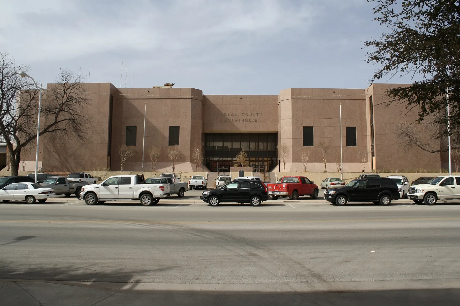
Nolan County Courthouse0.2 mi
Places of worship nearby
Lamar Street Baptist Church0.4 mi
First Apostolic Tabernacle0.4 mi
Evangelical Methodist Church0.4 mi
Post offices nearby
United States Post Office0.3 mi
Railways nearby
UP Toyah Subdivision0.1 mi
UP Baird Subdivision0.2 mi
Streams nearby
Town Creek0.4 mi
Tire dealers nearby
Dale Martin & Son Tire0.2 mi
Other nearby
Sweetwater Downtown Substation0.2 mi
 Public transit map Sweetwater Legend
| Railway | |
| Bus | |
| Streetcar |
 Bicycle map Sweetwater Legend
| Bike path | |
| Bike lane on roadway | |
| Cycling allowed on bus lane | |
| Bicycle street | |
| Open to cyclists | |
| Open to cyclists, good path | |
| Cycling prohibited | |
| Cobblestone |
| Long-distance bike route | (depending on scale) | |
| Long-distance bike route |
 Pedestrian map Sweetwater Legend
| Path |
| Long-distance hiking trail | (depending on scale) | |
| Long-distance hiking trail | ||
| Pedestrians prohibited |