
North 6th Street in Orange, Texas
North 6th Street in Orange is a residential street. It runs in a north-south direction starting from West Front Avenue and ends at West Division Street. North 6th Street also exists in Travis County, Montgomery County, Harris County, Chambers County and Fort Bend County.
- Road Type
- residential street
- Route
- north-south
Image
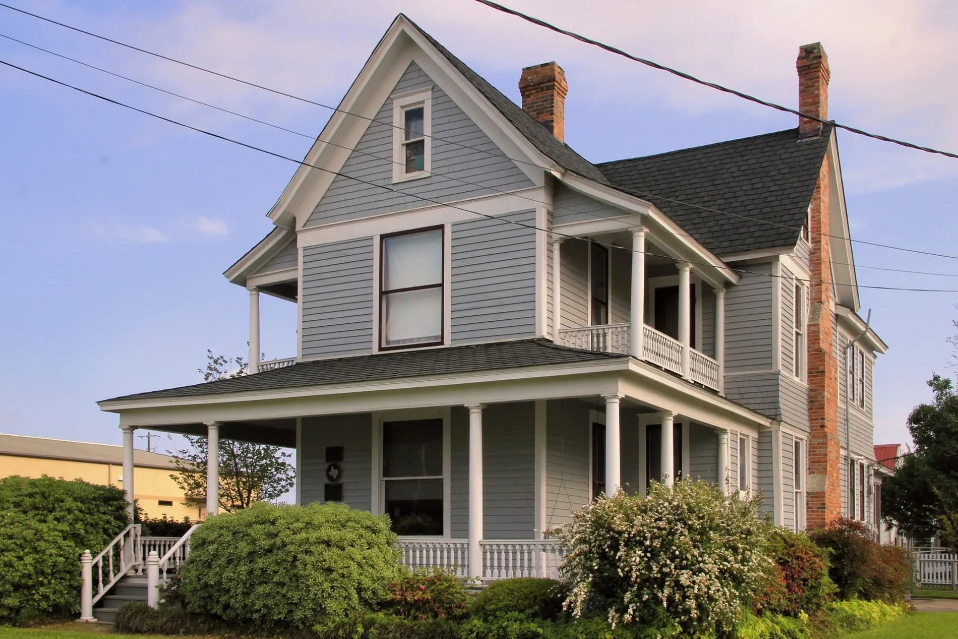
Police stations
Museums
- Stark Museum of Art (Stark Foundation, opening hours: Tue–Sat 9–17, Web) at Green Avenue 712 (77630) – approx. 0.2 mi.
Fire stations
Places of worship
Schools
Hotels
Supermarkets
Streets nearby
West Front Avenue250 ft
7th StreetOrange
450 ft
South 6th Street450 ft
West Division Street0.1 mi
8th StreetOrange Police Department, First Church of God
0.2 mi
9th StreetChurch of Christ
0.2 mi
College StreetCurtis School
0.2 mi
Polk Avenue0.3 mi
Henderson Avenue0.3 mi
Pine Avenue0.3 mi
5th StreetOrange Police Department - Citizen Service
0.3 mi
West Cypress Avenue0.3 mi
11th Street0.4 mi
4th Street0.4 mi
Jackson Avenue0.4 mi
Orange Alley0.4 mi
6th StreetSaint Theresa School
0.4 mi
South 10th Street0.4 mi
10th Street0.4 mi
West Orange Avenue0.4 mi
North 11th Street0.4 mi
West Elm AvenueOrange Fire Department
0.4 mi
Mill Street0.4 mi
Green AvenueStark Museum of Art
0.4 mi
South 11th Street0.4 mi
Gilmer Court0.5 mi
Western Avenue0.5 mi
1st Street0.5 mi
Stark Avenue0.5 mi
South College Street0.5 mi
2nd StreetStarlight Baptist Church
0.5 mi
Market Street0.5 mi
West Cherry AvenueBethlehem Church of the Nazarene
0.5 mi
13th StreetWest Orange - Stark Middle School
0.5 mi
Main Avenue0.6 mi
Shaffers Lane0.6 mi
14th StreetJones School
0.6 mi
Border StreetOrange County Sheriff's Office - Civil Division, Woodmen of the World Lodge-Phoenix Camp Number 32
0.6 mi
East Bancroft Avenue0.6 mi
12th StreetStark High School
0.6 mi
West Park AvenueBancroft, Saint Pauls Episcopal Church
0.6 mi
15th StreetBethel Baptist Church, Kroger
0.6 mi
Cemeteries nearby
Evergreen Cemetery0.5 mi
Courthouses nearby
Orange County Courthouse0.1 mi
Museums nearby
W H Stark House0.1 mi
Places of worship nearby
Saint Mary Catholic Church0.5 mi
Police stations nearby
Orange County Sheriff0.2 mi
Railways nearby
UP Lafayette Subdivision0.5 mi
Theaters nearby
Lutcher Theater300 ft
 Public transit map Orange Legend
| Railway | |
| Bus | |
| Streetcar |
 Bicycle map Orange Legend
| Bike path | |
| Bike lane on roadway | |
| Cycling allowed on bus lane | |
| Bicycle street | |
| Open to cyclists | |
| Open to cyclists, good path | |
| Cycling prohibited | |
| Cobblestone |
| Long-distance bike route | (depending on scale) | |
| Long-distance bike route |
 Pedestrian map Orange Legend
| Path |
| Long-distance hiking trail | (depending on scale) | |
| Long-distance hiking trail | ||
| Pedestrians prohibited |