
North San Antonio Street in Rockwall, Texas
North San Antonio Street in Rockwall is a residential street. It runs in a north-south direction starting from East Kaufman Street and crosses East Rusk Street and ends at South San Antonio Street. North San Antonio Street also exists in Howard County, Uvalde County, Real County, Starr County and Hidalgo County.
- Road Type
- residential street
- Route
- north-south
Image
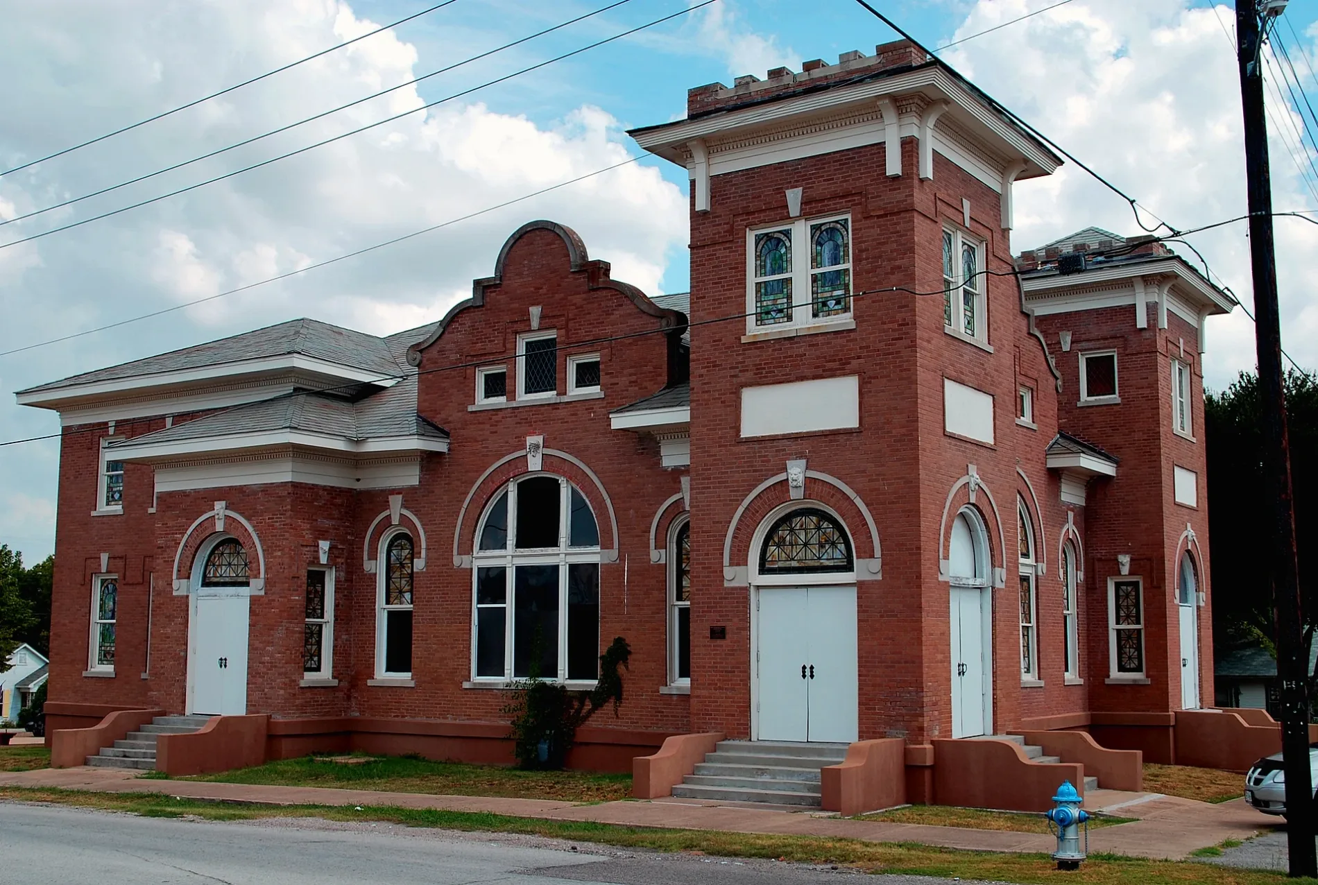
Fast food restaurants
Places of worship
Fabric stores
Public toilets
Cafes
Clothing stores
Housewares stores
Auto repair shops
Restaurants
Hair salons
Dry cleaners
Dentist offices
Streets nearby
South San Antonio Street300 ft
North San Augustine Street400 ft
East Kaufman StreetModern Cleaners, Book Club Cafe, Conner & Stewart Dentistry
550 ft
South San Augustine Street0.1 mi
North Fannin Street0.1 mi
South Fannin StreetHis Covenant Children Church, Pier 101 Seafood Bar And Grill
0.1 mi
North San Jacinto StreetRamen Head, Hunan Chinese, The Kitschy Cupboard, Brooke & Blue, J10 Design, Cain's Corner Park Public Restrooms
0.2 mi
East Rusk StreetRockwall, Section of the Rockwall, Wren + Willow, Bella's House, Simply Kate, Texas Quiltworks LLC, Donuts & Coffee, Emerald Creek Boutique, Randy's Barber Shop, Charlie's Burgers and Street Tacos, Ami Kristin Studio, Providence Place ~ Bridal Shop & Wedding Center, Groovy's, Community BBQ and Grill
0.2 mi
Margaret Street0.2 mi
East Interurban Street0.2 mi
San Jancinto PlazaJim & Dean's Garage, Downing Bites and Bottles (DBB), Zanata, Fable & Fire - A Bookshop Bistro, Flying Ryno
0.2 mi
East Washington StreetGazebo
0.2 mi
South San Jacinto Street0.2 mi
North Goliad StreetMills Mercantile, Phoenix Nutrition Bar, La Rose Nails & Spa, Lone Star Donuts, Lakeshore Dental, Expert Cuts, R Donuts, Marco's Pizza, Hittson Dental, Exxon
0.2 mi
Kernodle Street0.2 mi
Austin Street0.2 mi
West Rusk StreetTrevinos
0.2 mi
Olive Street0.2 mi
Cornelia Street0.2 mi
North Alamo RoadFree Methodist Church
0.3 mi
West Kaufman Street0.3 mi
West Interurban Street0.3 mi
Banks nearby
SouthState Bank0.1 mi
Drive up teller0.1 mi
Buildings nearby
AT&T100 ft
T & T Color Supply500 ft
Historic First United Methodist Church of Rockwall550 ft
Honea Central Air0.1 mi
Rockwall Historic Courthouse0.2 mi
Casa Mama0.2 mi
Rockwall Pharmacy0.2 mi
East Trinity Masonic Lodge0.2 mi
Monkey Doodle0.3 mi
Cafes nearby
5013 Coffee0.3 mi
Candle shops nearby
Candles by Carol0.3 mi
Clinics nearby
Grace Clinic0.3 mi
Clothing stores nearby
Southern Roots0.3 mi
Convenience stores nearby
7-Eleven0.2 mi
Florists nearby
Lakeside Florist550 ft
Gas stations nearby
Exxon0.2 mi
Hair salons nearby
Rockwall Barber0.2 mi
Music schools nearby
School of Rock0.2 mi
Parks nearby
Lofland Park450 ft
Places of worship nearby
Rockwall Presbyterian Church450 ft
Joy Lutheran Church0.2 mi
Residential areas nearby
Highwood0.3 mi
Restaurants nearby
Well's Cattle0.1 mi
Wade's Landing0.1 mi
Bin 3030.2 mi
Public transit map Rockwall Legend
| Railway | |
| Bus | |
| Streetcar |
Bicycle map Rockwall Legend
| Bike path | |
| Bike lane on roadway | |
| Cycling allowed on bus lane | |
| Bicycle street | |
| Open to cyclists | |
| Open to cyclists, good path | |
| Cycling prohibited | |
| Cobblestone |
| Long-distance bike route | (depending on scale) | |
| Long-distance bike route |
Pedestrian map Rockwall Legend
| Path |
| Long-distance hiking trail | (depending on scale) | |
| Long-distance hiking trail | ||
| Pedestrians prohibited |