
South 2nd Street in Rockwall, Texas
South 2nd Street in Rockwall is a residential street. It runs in a north-south direction starting from North 2nd Street and crosses West Rusk Street and ends at West Washington Street. South 2nd Street also exists in Travis County, Montgomery County, Harris County, Chambers County and Fort Bend County.
- Road Type
- residential street
- Route
- north-south
Image
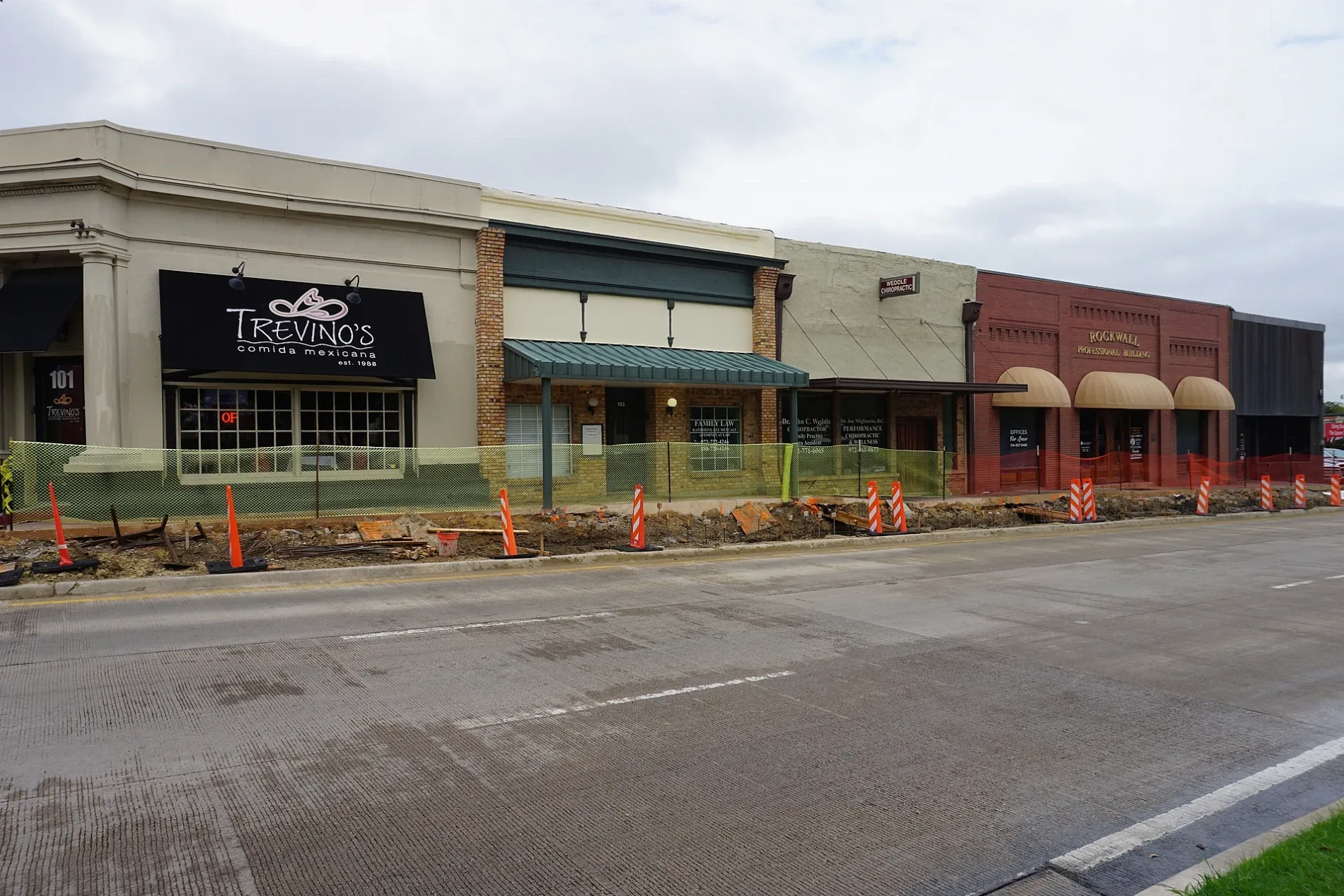
Jewelry stores
Computer stores
Drugstores
General stores
Attractions
Dentist offices
Places of worship
Clothing stores
Restaurants
Antique stores
Cafes
Public toilets
Streets nearby
North 2nd Street100 ft
North First Street300 ft
West Washington StreetAWT Technical Support
450 ft
North West Street500 ft
South 1st Street550 ft
West Kaufman Street0.1 mi
West Rusk StreetTrevinos
0.2 mi
West Interurban Street0.2 mi
Elm Drive0.2 mi
North Alamo RoadFree Methodist Church
0.2 mi
Valley Drive0.2 mi
Olive Street0.2 mi
Westway Drive0.3 mi
Greenhill Lane0.3 mi
Heritage Place0.3 mi
Alta Vista Drive0.3 mi
Lake Terrace0.3 mi
Wildwood Lane0.3 mi
Wildwood Terrace0.3 mi
Highland DriveWater Fountain
0.4 mi
Westway Circle0.4 mi
Coachlight Trail0.4 mi
West Heath Street0.4 mi
Driftwood Drive0.4 mi
Shepards Hill Drive0.4 mi
Sheppards Hill Drive0.5 mi
Amenities nearby
Marigold Learning Academy & ABA Therapy Center450 ft
Children's Park North0.2 mi
Buildings nearby
Rockwall Police Department0.1 mi
Buildings nearby
East Trinity Masonic Lodge0.2 mi
Casa Mama0.2 mi
Rockwall Pharmacy0.2 mi
Monkey Doodle0.3 mi
Cafes nearby
5013 Coffee0.3 mi
Candle shops nearby
Candles by Carol0.2 mi
Clinics nearby
Sparks Clinic300 ft
Lake Ray Hubbard Pediatrics0.3 mi
Clothing stores nearby
Southern Roots0.3 mi
Convenience stores nearby
7-Eleven0.2 mi
Dentist's offices nearby
Gentle Dental150 ft
Doctor's offices nearby
James H. Whitfield, DPM400 ft
Gas stations nearby
Exxon0.2 mi
Music stores nearby
Morrison Guitar Shop450 ft
Residential areas nearby
Highwood0.2 mi
Highland Hills0.2 mi
Northshore0.4 mi
Restaurants nearby
Lonestar 66 Cafe500 ft
Streams nearby
Squabble Creek Tributary E0.3 mi
Supermarkets nearby
Walmart Neighborhood Market0.2 mi
 Public transit map Rockwall Legend
| Railway | |
| Bus | |
| Streetcar |
 Bicycle map Rockwall Legend
| Bike path | |
| Bike lane on roadway | |
| Cycling allowed on bus lane | |
| Bicycle street | |
| Open to cyclists | |
| Open to cyclists, good path | |
| Cycling prohibited | |
| Cobblestone |
| Long-distance bike route | (depending on scale) | |
| Long-distance bike route |
 Pedestrian map Rockwall Legend
| Path |
| Long-distance hiking trail | (depending on scale) | |
| Long-distance hiking trail | ||
| Pedestrians prohibited |