
Rowlett, Texas
Rowlett is located in Texas. About 56,199 people live here. Between 2010 and 2020, the population grew from 56,199 to 62,535. The region is at 154 meters above sea level. The area covers about 54.3 square kilometers. There are about 2.169 streets in Rowlett. The region was founded in 1952. The ZIP codes are 75030–75089. The dialing code is 972. Rowlett is city in Dallas and Rockwall counties in Texas, United States. Among other things, Rowlett has public Transport, restaurants, cafés, supermarkets, clothing Stores, banks, hair Salons and pharmacies. More information at www.ci.rowlett.tx.us.
Rowlett – Facts
| Population | 62535 |
|---|---|
| Area | 54.3 km² |
| Year built | 1952 |
| Elevation | 154 m |
| Located in | Dallas County, Rockwall County |
| Postal code | 75030 |
| Country | United States |
| Official name | Rowlett |
| Website | http://www.ci.rowlett.tx.us/ |
Data source: Wikidata (CC0)
Photos from Rowlett
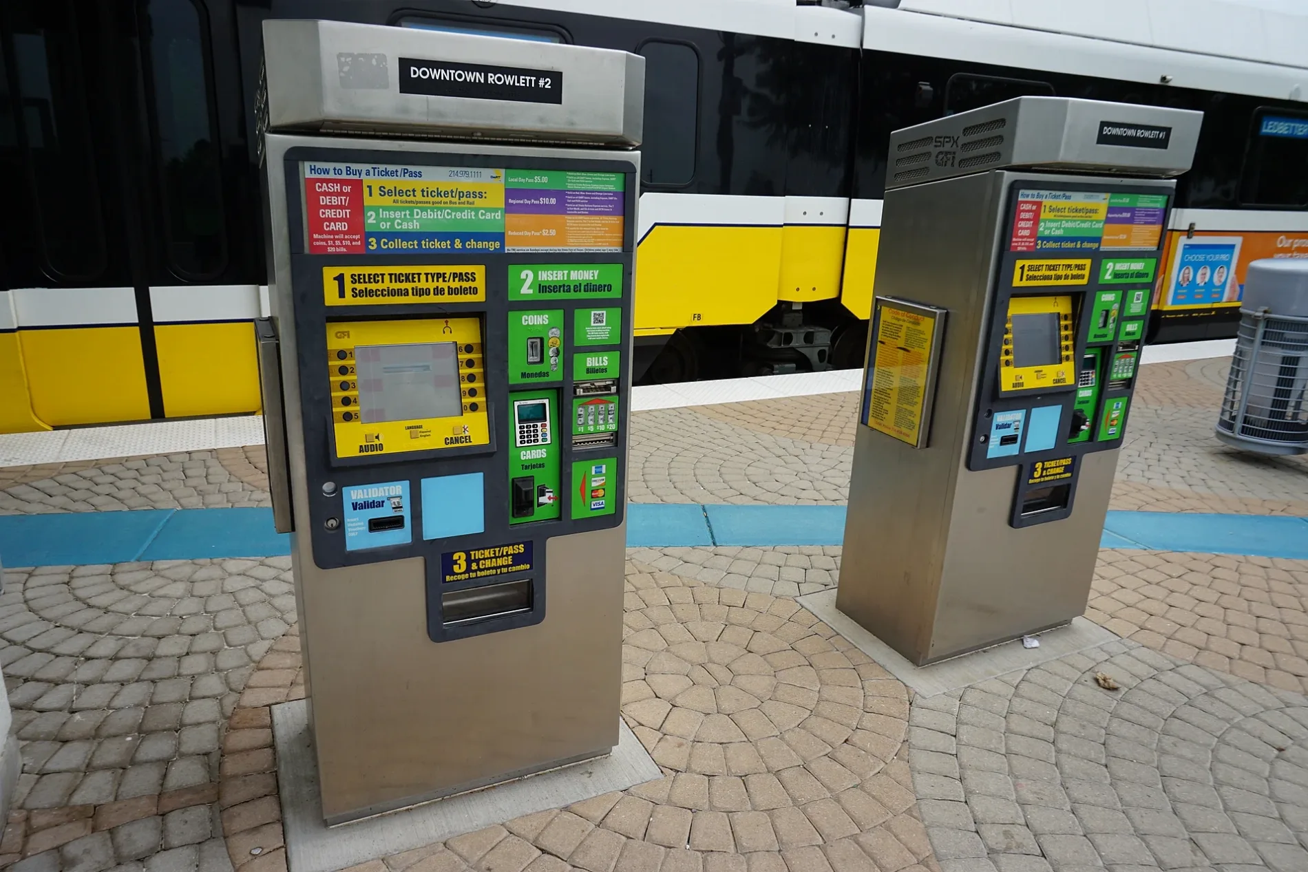
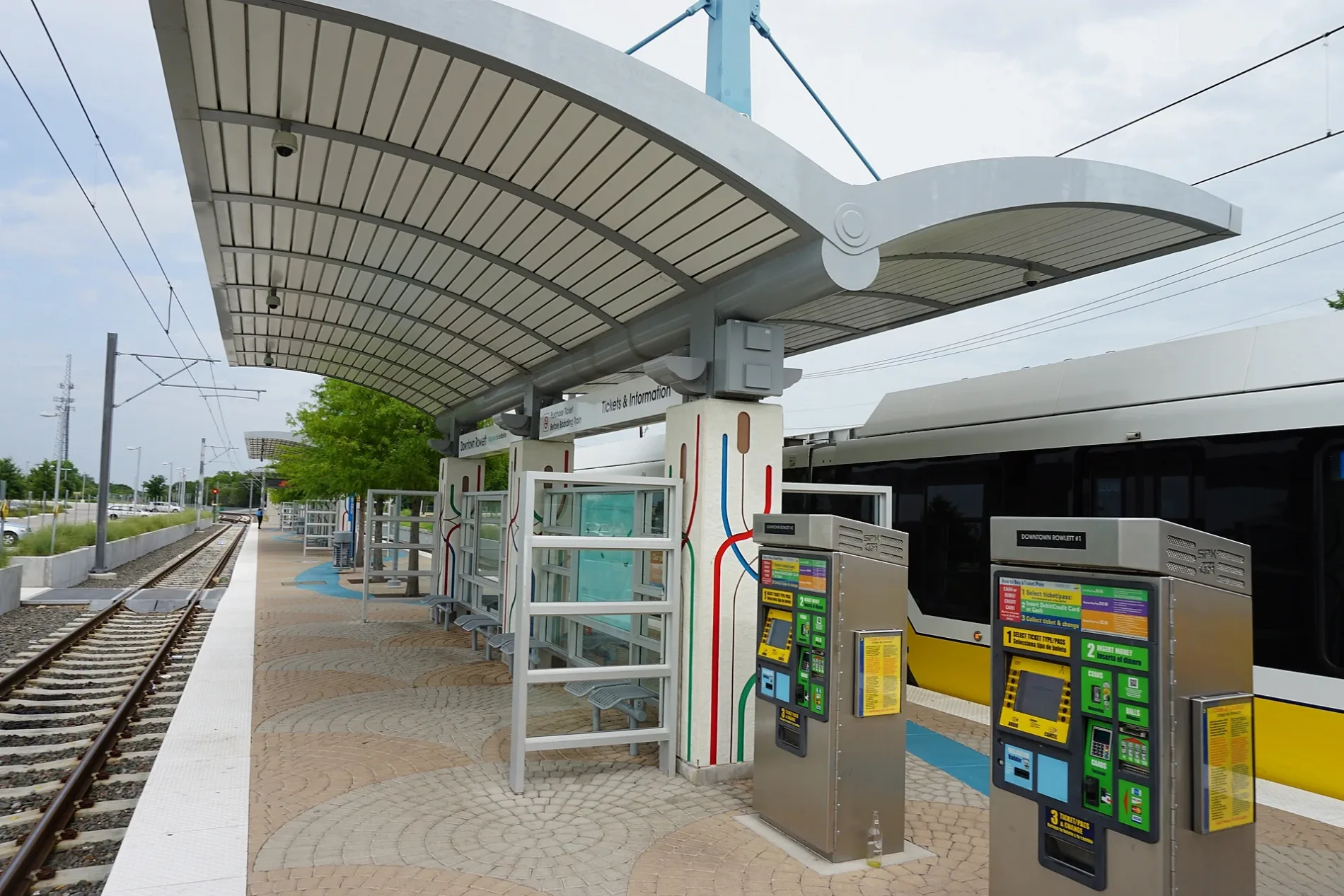
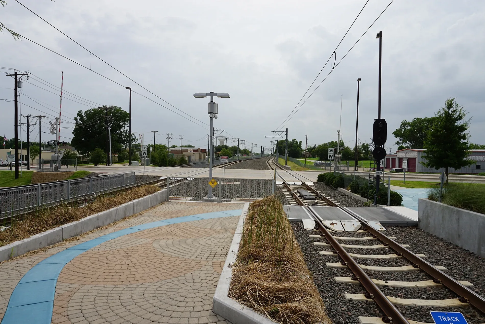
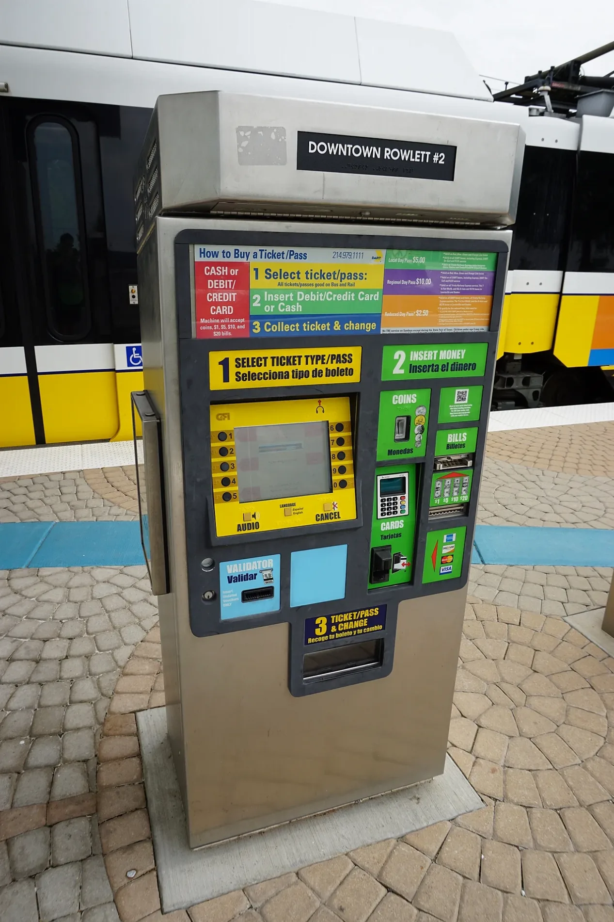
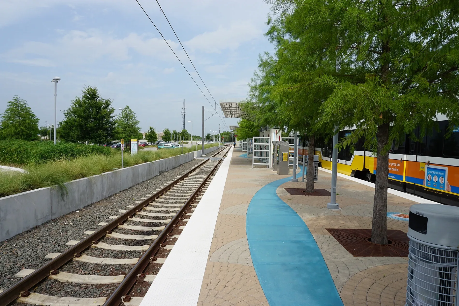
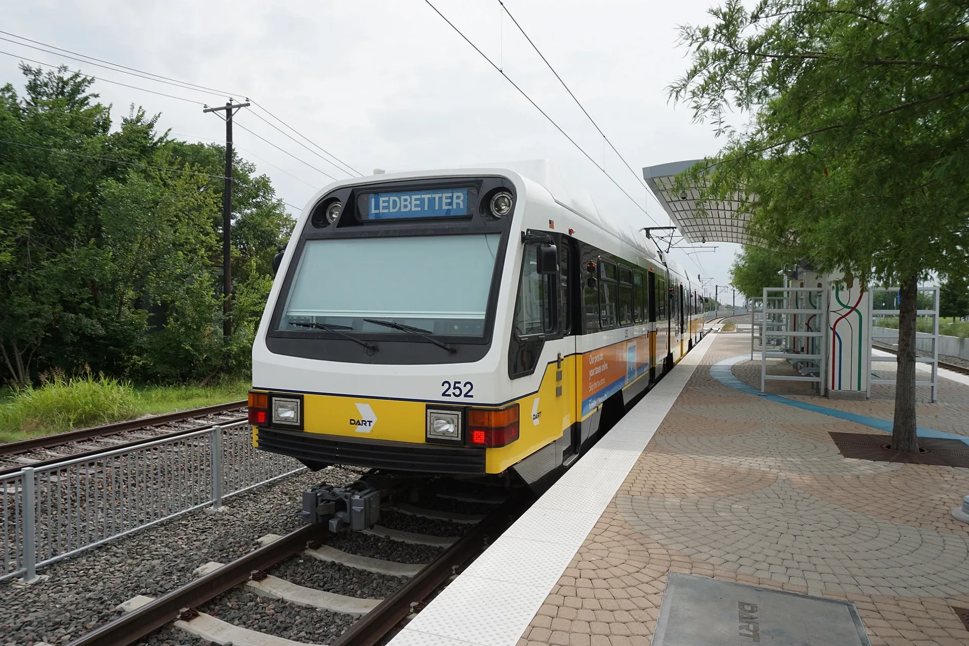
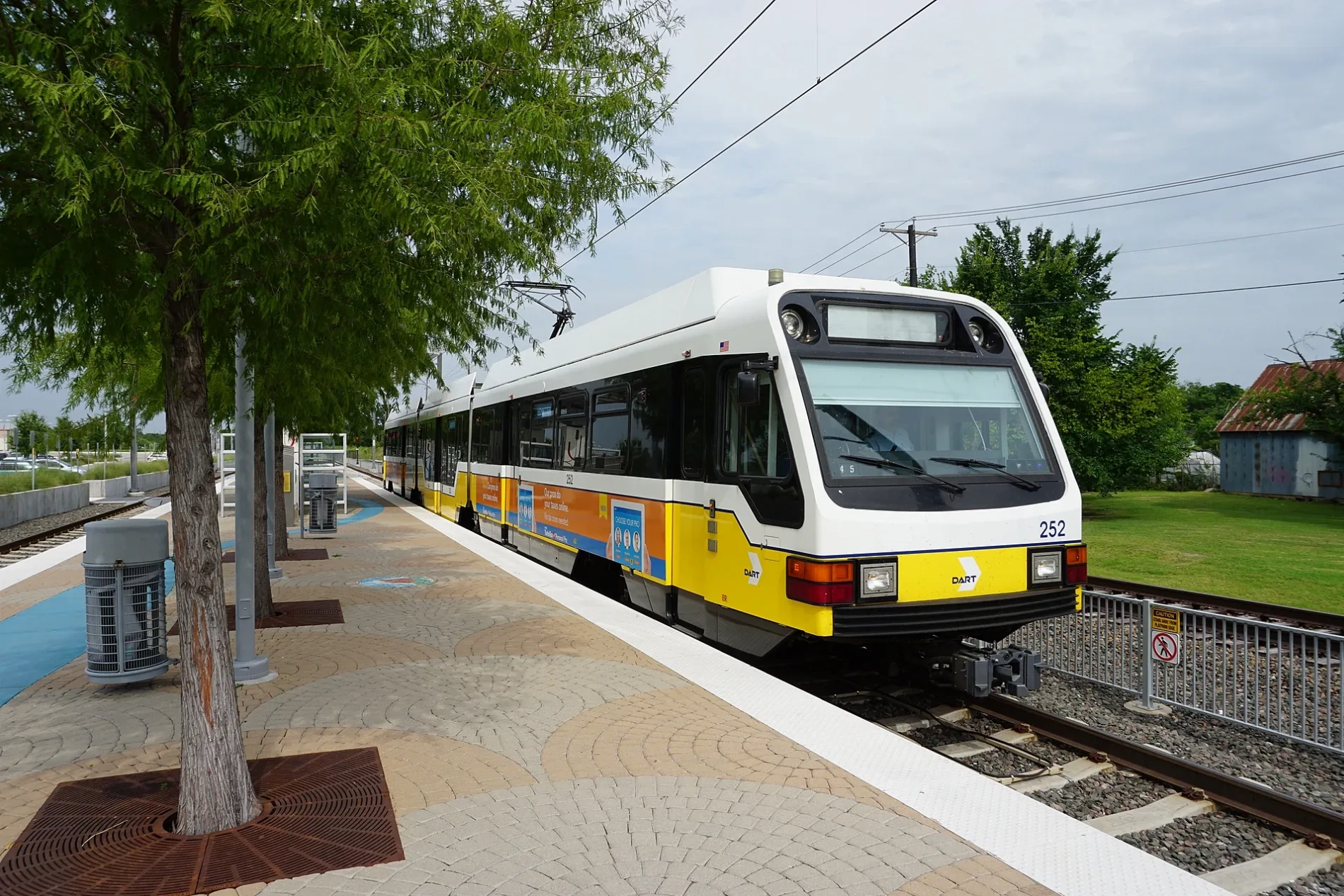
Streets in Rowlett, Texas
Streets
Shadyoaks Lane
Park Lane
Dexham Road
Maui Lane
Monks Trail
Watson Drive
Saturn Drive
Ruisseau Drive
Tangleridge Lane
Hailfax Drive
Watersedge Drive
Lancashire Drive North
Richmond Drive
Redbud Road
Caprock Trail
Eula Drive
Bayhill Drive
Southridge Drive
Hogan Drive
Mark Lane
Larry Street
Sumac Lane
Lancashire Drive South
Oakridge Drive
Oliver Street
Norway Mews
Lakeshore Court
Sperling Lane
Mariner Drive
Barolo Drive
Ardis Drive
Sunlight Drive
Miller Heights Drive
Castle Drive
Lexington Drive
Southern Hills Lane
Trail
Big A Cemetery
Shoal Creek Drive
Pecan Grove Lane
Dolphin Drive
Christine Street
Petersburg Drive
Poppy Hill Court
Lakeside Park Trail
Larchwood Circle
Sequoia Circle
Lakeview Parkway
Lighthouse Drive
Abell Lane
Randi Road
Lotus Drive
Carmel Lane
Westfield Drive
Wellesly Road
Richmond Court
Coventry Drive
Great Stone Trail
Drew Lane
Coronado Drive
Woodlands Trail
Doral Court
Columbia Drive
Waterbury Drive
Sassafrass Way
Winged Foot Drive
Paul Place
Flamingo Drive
Banks
Churches
Fast food restaurants
Fire stations
Liquor stores
Parks
Places of worship
Residential areas
Retail areas
Supermarkets
Public transit map Rowlett Legend
| Railway | |
| Bus | |
| Streetcar |
Bicycle map Rowlett Legend
| Bike path | |
| Bike lane on roadway | |
| Cycling allowed on bus lane | |
| Bicycle street | |
| Open to cyclists | |
| Open to cyclists, good path | |
| Cycling prohibited | |
| Cobblestone |
| Long-distance bike route | (depending on scale) | |
| Long-distance bike route |
Pedestrian map Rowlett Legend
| Path |
| Long-distance hiking trail | (depending on scale) | |
| Long-distance hiking trail | ||
| Pedestrians prohibited |