
Woodmeadow in Bedford, Texas
Woodmeadow in Bedford is a residential street. It runs in an east-west direction and ends at Oakmeadow, while the other end is a cul-de-sac.
- Road Type
- residential street
- Route
- east-west
Image
Dentist offices
Secondhand stores
ATMs
Galleries
Clinics
Fast food restaurants
Charging stations
Department stores
Restaurants
Pharmacies
Cell phone stores
Veterinary clinics
Variety stores
Paint stores
Places of worship
Streets nearby
Oakmeadow Court250 ft
Oakmeadow Place300 ft
Glenoaks Court400 ft
Sunshine Court0.1 mi
Glenoaks Street0.1 mi
Ridgewood0.1 mi
Oakmeadow0.2 mi
Meadow Park Circle0.2 mi
Barr Drive0.2 mi
Clearmeadow Court0.2 mi
Pine Ridge Drive0.2 mi
Lincolnshire Drive0.2 mi
Clearmeadow Street0.2 mi
Rollingwood Court0.2 mi
Rollingshire Court0.2 mi
Coventry Drive0.2 mi
Rollingshire Drive0.2 mi
Downing Court0.2 mi
Realistic Court0.2 mi
Realistic Drive0.2 mi
Bedford RoadGoodwill, 7-Eleven, Chevron, T-Mobile
0.2 mi
Cachelle Court0.2 mi
Meadow Park Drive0.2 mi
School Lane0.3 mi
Berwichshire Court0.3 mi
Lancashire Court0.3 mi
Harwood RoadCommunity Covenant Church of the Mid Cities, Discount Tire, Subway, Prestige Cigar Lounge & Coffee Bar, Thai Jasmine Restaurant, Pickture Perfect Brows & Beauty Boutique, Beelman Dental, Bedford Back & Neck Clinic, Anderson Dentristry, Jeffrey Corbet, Emmanuel Presbyterian Church
0.3 mi
Staffordshire Court0.3 mi
Lincolnshire Circle0.3 mi
Arbor Mill CircleMarco’s Pizza, Trinity Dental Care
0.3 mi
Warwickshire Court East0.4 mi
Wiltshire Street0.4 mi
Warwickshire Court West0.4 mi
Arbor Crest Drive0.4 mi
East M. Bilger Junior Boulevard0.4 mi
Municipal Court0.4 mi
Bedfordshire Street0.4 mi
Yorkshire0.4 mi
Oak Valley Drive0.5 mi
Auto repair shops nearby
SpeeDee Oil Change & Auto Service0.3 mi
Beauty salons nearby
The Best Nail Spa & Salon0.3 mi
Drugstores nearby
Walgreens0.2 mi
Fast food restaurants nearby
Panda Express0.3 mi
Fire stations nearby
Bedford Fire Station 10.3 mi
Gas stations nearby
Murphy USA0.3 mi
Libraries nearby
Bedford Public Library0.4 mi
Parks nearby
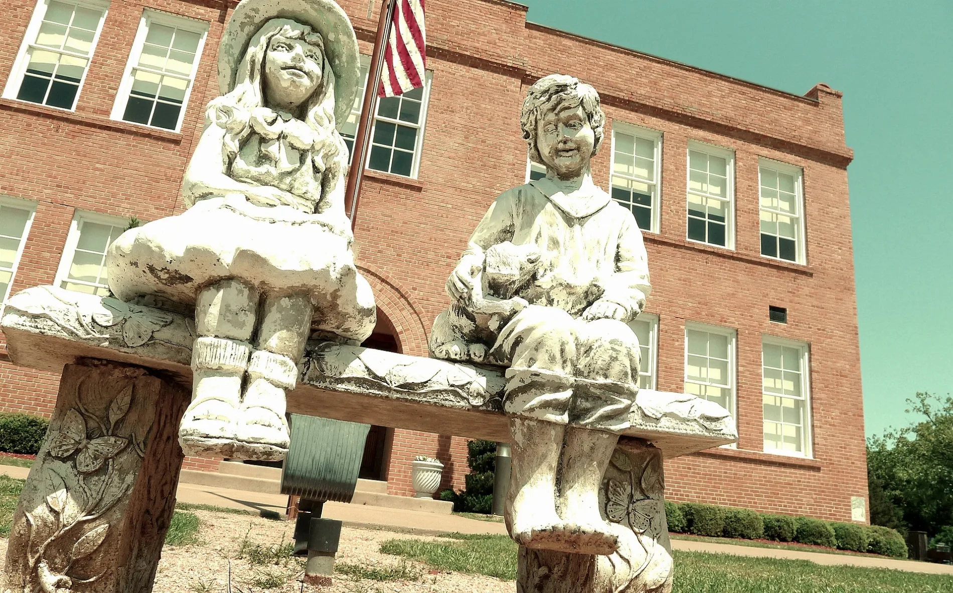
Old Bedford School0.3 mi
Places of worship nearby
First Baptist Church of Bedford0.1 mi
Residential areas nearby
The Arbors of Central Park0.4 mi
 Public transit map Bedford Legend
| Railway | |
| Bus | |
| Streetcar |
 Bicycle map Bedford Legend
| Bike path | |
| Bike lane on roadway | |
| Cycling allowed on bus lane | |
| Bicycle street | |
| Open to cyclists | |
| Open to cyclists, good path | |
| Cycling prohibited | |
| Cobblestone |
| Long-distance bike route | (depending on scale) | |
| Long-distance bike route |
 Pedestrian map Bedford Legend
| Path |
| Long-distance hiking trail | (depending on scale) | |
| Long-distance hiking trail | ||
| Pedestrians prohibited |