
Pacer Way in Flower Mound, Texas
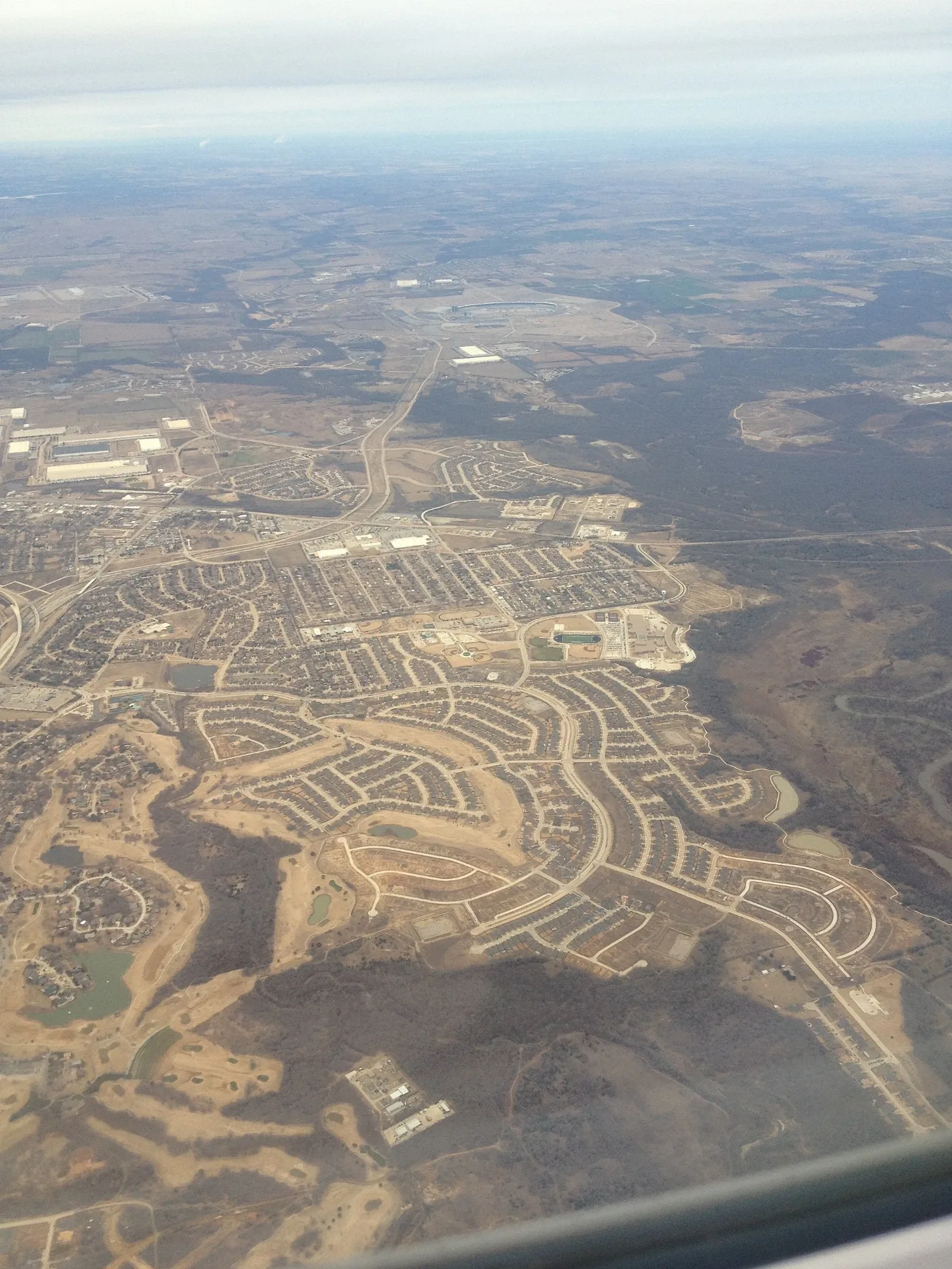
Pacer Way in Flower Mound is a residential street and runs in an east-west direction and ends at Trotter Lane, while the other end is a cul-de-sac.
- Road Type
- residential street
- Route
- east-west
Image
Dentist offices
Department stores
Charging stations
Craft stores
Sporting goods stores
Hair salons
Restaurants
Pharmacies
Fast food restaurants
Opticians
Cosmetics stores
Clothing stores
Places of worship
Massage therapy clinics
Beauty salons
Interior decorators
Variety stores
Streets nearby
Manor Way0.1 mi
Forest Hill Circle0.1 mi
Clydesdale Drive0.1 mi
Pack Saddle Way0.2 mi
Aurora Court0.2 mi
Forest Hill Drive0.2 mi
Bosque Court0.2 mi
Hackamore Road0.2 mi
Amble Way0.2 mi
Biscayne Drive0.3 mi
Brindle Way0.3 mi
Sorrel Court0.3 mi
Sorrel Drive0.3 mi
Glenshire Drive0.3 mi
Canter Way0.3 mi
Saddlewood Drive0.3 mi
Haley Drive0.3 mi
Cross Timbers RoadBaylor Scott & White Family Medicine, PNC Bank, Shiloh Church, Christina's, Dental Care 4 Kids, Jet's Pizza, Walgreens, Kroger Fuel Center, Core Chiropractic, Bailey Orthodontics, Handel's Homemade Ice Cream, Floyd's Barber Shop, Baskin-Robbins, Mooyah, FloMo Dental, Everbowl, Mathnasium, Bliss Nail Spa, Arch Brow Threading & Spa, Rosati's, Crumbl Cookies, Petfolk Veterinary & Urgent Care - Flower Mound, Subway, Elegant Massage, Istanbul Cuisine, Chase, Marble Slab Creamery, Supreme Boil, Valero, Smoothie King, Luna Grill, Bonchon Chicken, la Madeleine, Roosters Men's Grooming Center, Massage Envy, Crossley Orthodontics, Texas Center Oral Surgery & Implants, TitleMax, FM Beverage, City Smokeshop, Express Cut, Collectibles Cards + Games, ROOT Med Spa, ROOT Periodontal and Implant Center - Flower Mound, Community Pharmacy
0.3 mi
Indale Way0.3 mi
Withers Avenue0.3 mi
Lusk Lane0.4 mi
Trotter Lane0.4 mi
Kingswood Drive0.4 mi
Morningstar Circle0.4 mi
Equestrian Way0.4 mi
Fuller Drive0.4 mi
Remington Park Drive0.4 mi
Saddle Drive0.4 mi
Ironwood Drive0.4 mi
Chilton Lane0.4 mi
Joshua Drive0.4 mi
Ironwood Court0.5 mi
Temple Drive0.5 mi
Mark Twain Boulevard0.5 mi
Range Wood Drive0.5 mi
Huntwick Lane0.5 mi
Barry Boulevard0.5 mi
Fairbank Lane0.5 mi
Tan Drive0.5 mi
Flower Mound RoadWalgreens, Allure Nails & Spa, Supercuts, Boil & Bake Bagels, Snowy Bingsu, Leslie's Pool Supplies, KARMA, M&E Massage Parlor, Lee Tailor, TRIO Coffee, Fiori, Tropical Smoothie Cafe, Emory Nail Lounge, Today Dentist, Childrens Courtyard, Whittington Pediatric Dentistry, Healthy Smiles Dentistry, Dumpling Queen, Taco Bell, 7-Eleven, S & S, Pretty Burrito, Pretty Pools, Glorious Smiles, Guitars & Growlers, Sun Massage, Miracles Joy Salon, Bruvana, Dragon Claw Academy, Chase
0.6 mi
Churches nearby
St. Philip the Apostle Catholic Church0.5 mi
Construction sites nearby
Future Parish Life Center0.5 mi
Church Addition0.5 mi
Parks nearby
Trotter Park0.5 mi
Residential areas nearby
Forest Hill Estates350 ft
Saddlewood0.3 mi
Saddle Oaks0.4 mi
Rivers nearby
Timber Creek0.6 mi
Schools nearby
Founders Classical Academy of Flower Mound0.3 mi
Public transit map Flower Mound Legend
| Railway | |
| Bus | |
| Streetcar |
Bicycle map Flower Mound Legend
| Bike path | |
| Bike lane on roadway | |
| Cycling allowed on bus lane | |
| Bicycle street | |
| Open to cyclists | |
| Open to cyclists, good path | |
| Cycling prohibited | |
| Cobblestone |
| Long-distance bike route | (depending on scale) | |
| Long-distance bike route |
Pedestrian map Flower Mound Legend
| Path |
| Long-distance hiking trail | (depending on scale) | |
| Long-distance hiking trail | ||
| Pedestrians prohibited |