
Woods Lane in North Richland Hills, Texas
Woods Lane in North Richland Hills is an asphalted residential street and runs in an east-west direction and crosses Davis Boulevard and ends at Freedom Way. Nearby there is a specialty store.
- Road Type
- residential street
- Route
- east-west
Image
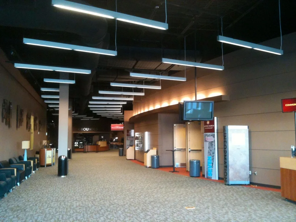
Specialty stores
Streets nearby
Freedom Way250 ft
Sayers Lane400 ft
Stamp Drive400 ft
La Fontaine Drive0.1 mi
Revenue Way0.1 mi
Quartering Drive0.1 mi
Patricks Path0.2 mi
Jill Court0.2 mi
Ira Drive0.2 mi
Gary Drive0.2 mi
Smith Drive0.2 mi
Neil Court0.2 mi
Ellis Drive0.2 mi
Starnes RoadMarco's Pizza, Chevron
0.2 mi
Rumfield Road0.2 mi
Chuck Drive0.2 mi
Northfield Drive0.3 mi
Harvest Hill Road0.3 mi
Cato Drive0.3 mi
Davis BoulevardParra Car Care, North Richland Hills Farmers Market, Metroplex Pediatrics, Starbucks, Papa Murphy's, T-Mobile, Veda Nails & Spa, CareNow Urgent Care, Mix N Mac Kitchen, Monarch Dental, Total Men's Primary Care, Sport Clips, Harlan House Of Dance, Mi Pueblo, FedEx Ship Center, Jet's Pizza, Woodbine Furniture, Takara, Leslie's Pool Supplies, Vince Nail Spa
0.3 mi
Park Place Drive0.3 mi
Stonybrooke Drive0.3 mi
Spring Run0.3 mi
Hillcrest Court0.3 mi
Ford Drive0.3 mi
Clover Leaf Drive0.3 mi
Bursey Road0.3 mi
Country Ridge Drive0.3 mi
Country Oak Drive0.4 mi
Kirk Court0.4 mi
Terrell Drive0.4 mi
Hunt Drive0.4 mi
Country Meadow Drive0.4 mi
Kirk Lane0.4 mi
Woodland Drive0.4 mi
Country Place Drive0.4 mi
Whispering Woods Lane0.4 mi
Buildings nearby
It's Your Floor Granite & Remodeling0.1 mi
Commercial buildings nearby
Ahlers Roofing and Construction450 ft
Dog parks nearby
Tipps Canine Hollow Dog Park0.2 mi
Fast food restaurants nearby
McDonald's0.3 mi
Office buildings nearby
Precision Construction & Roofing0.1 mi
Pet grooming salons nearby
Jerry's Paw Spaw0.2 mi
Places of worship nearby
House of Grace0.2 mi
Gateway0.2 mi
Residential areas nearby
St. Joseph Estates0.2 mi
Liberty Villiage0.2 mi
Crestwood Estate0.3 mi
Shelters nearby
Barfield Pavilion0.4 mi
Public transit map North Richland Hills Legend
| Railway | |
| Bus | |
| Streetcar |
Bicycle map North Richland Hills Legend
| Bike path | |
| Bike lane on roadway | |
| Cycling allowed on bus lane | |
| Bicycle street | |
| Open to cyclists | |
| Open to cyclists, good path | |
| Cycling prohibited | |
| Cobblestone |
| Long-distance bike route | (depending on scale) | |
| Long-distance bike route |
Pedestrian map North Richland Hills Legend
| Path |
| Long-distance hiking trail | (depending on scale) | |
| Long-distance hiking trail | ||
| Pedestrians prohibited |