
Avenue of the Stars in Cedar Park, Texas
Avenue of the Stars in Cedar Park is a three-lane, asphalted service road. It runs in a northeast-southwest direction starting from 183A Frontage Road and crosses Brush Lane and ends at East New Hope Drive. Avenue of the Stars also exists in Denton County and Dallas County.
- Road Type
- service road
- Lanes
- 3
- Route
- northeast-southwest
Image
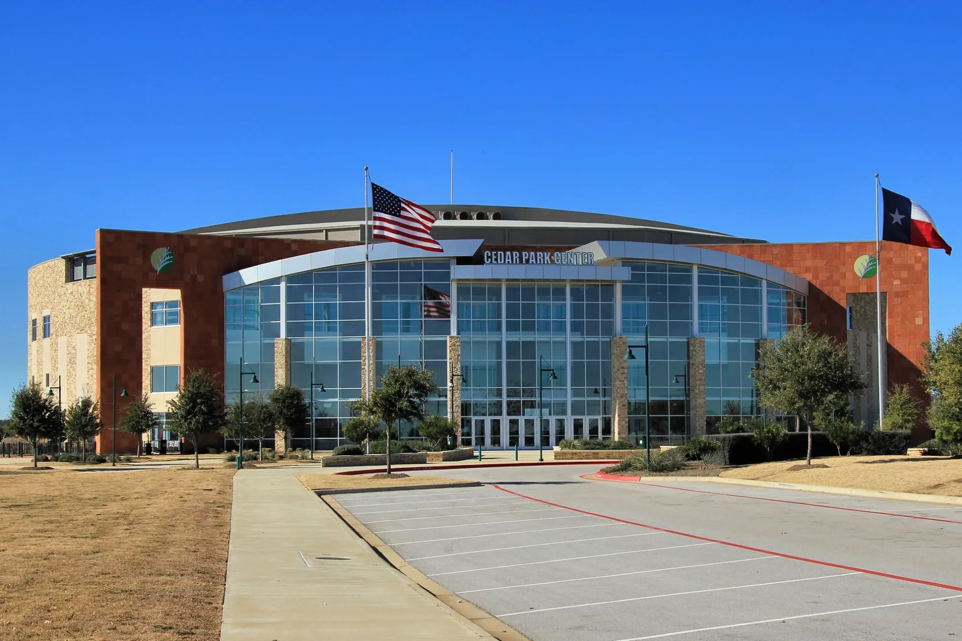
Car dealerships
Department stores
Bars
Baby stores
Jewelry stores
Electrical supply stores
Veterinary clinics
Cafes
Sporting goods stores
Fabric stores
Massage therapy clinics
Variety stores
Hardware stores
Liquor stores
Clothing stores
Shoe stores
Fast food restaurants
Candle shops
Interior decorators
Beauty salons
Bed stores
Banks
Streets nearby
Leisha Lee Lane450 ft
Snelling Drive500 ft
Mones Lane0.1 mi
Big Falls Drive0.1 mi
Snelling Cove0.2 mi
Port Hood Drive0.2 mi
Block House Drive0.2 mi
Mojave Bend0.2 mi
Red Heron Drive0.2 mi
Kicking Bird Drive0.2 mi
Copper Leaf Lane0.3 mi
Creek Run Drive0.3 mi
Bottle Springs Lane0.3 mi
Charlie Harley Drive0.3 mi
Molson Lake Drive0.3 mi
Catlin Cove0.3 mi
Jadestone Drive0.3 mi
House Creek Drive0.3 mi
NFM Drive0.3 mi
Wild Orchid Drive0.3 mi
Fairlawn Drive0.3 mi
Brush Lane0.4 mi
Discovery BoulevardJack Brown Cleaners
0.4 mi
Luke Lane0.4 mi
183A Frontage RoadGigi's Cupcakes, AT&T, Mighty Fine, Via 313, Salata, Hardwood Bargains, Spectrum, Black Castle Gamez, 183A Toll Gantry
0.4 mi
Lone Wolf Drive0.4 mi
Hutton Court0.4 mi
Mixtli Cove0.4 mi
Hutton Lane0.4 mi
Zilker Drive0.4 mi
Spotted Eagle Drive0.5 mi
Johnathan Way0.5 mi
Legend Oaks Lane0.5 mi
Cedarview Drive0.5 mi
Lost Pines Lane0.5 mi
Alamo Plaza DriveMarshalls, Michael's
0.5 mi
Community Drive0.5 mi
Claudia Drive0.5 mi
Enchanted Rock Drive0.5 mi
Sandhills Drive0.5 mi
Colorado Bend Drive0.5 mi
Convenience stores nearby
Circle K0.4 mi
Furniture stores nearby
NFM0.2 mi
Gas stations nearby
7-Eleven0.4 mi
Residential areas nearby
Block House Creek0.3 mi
Rivers nearby
Cottonwood Creek0.4 mi
Sporting goods stores nearby
Scheels0.3 mi
Sports centers nearby
H-E-B Center at Cedar Park0.2 mi
Veterinary clinics nearby
New Hope Animal Hospital0.4 mi
Public transit map Cedar Park Legend
| Railway | |
| Bus | |
| Streetcar |
Bicycle map Cedar Park Legend
| Bike path | |
| Bike lane on roadway | |
| Cycling allowed on bus lane | |
| Bicycle street | |
| Open to cyclists | |
| Open to cyclists, good path | |
| Cycling prohibited | |
| Cobblestone |
| Long-distance bike route | (depending on scale) | |
| Long-distance bike route |
Pedestrian map Cedar Park Legend
| Path |
| Long-distance hiking trail | (depending on scale) | |
| Long-distance hiking trail | ||
| Pedestrians prohibited |