
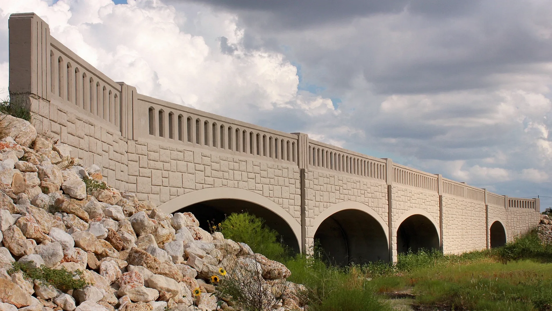
County Road 273 in Leander, Texas
County Road 273 in Leander is a four-lane, asphalted local road (also known as Mel Mathis Avenue). The street has bike paths (bike protection lane). It runs in a southeast-northwest direction starting from Main Street and crosses East Broade Street, La Escalera Drive, Ranch Road 2243 and Windward View and ends at Horizon Park Boulevard. County Road 273 is also known as Mel Mathis Avenue.
- Alternate Name
- Mel Mathis Avenue
- Bicycle
- yes
- Bike Lane
- shared lane
- Road Type
- local road
- Lanes
- 4
- Route
- southeast-northwest
Image
Clothing stores
Beauty salons
Charging stations
Places of worship
Liquor stores
Opticians
Bus stops
Video game stores
Ice cream shops
Fast food restaurants
Tattoo studios
Platforms
Stations
Hair salons
Shoe stores
Streets nearby
Pitchfork Drive100 ft
La Escalera Drive300 ft
Quemado Drive450 ft
Prarie Chapel Drive500 ft
Michaelis Drive0.1 mi
North East Street0.2 mi
Hero Way0.2 mi
East Broade Street0.2 mi
Windward View0.2 mi
North Gabriel Street0.2 mi
Main Street0.2 mi
South East Street0.2 mi
East Evans Street0.3 mi
Railroad Street0.3 mi
East Willis Street0.3 mi
East South Street0.3 mi
Ranch Road 22430.3 mi
Harbors Lane0.3 mi
Turnbuckle Bend0.3 mi
Regatta Trail0.3 mi
West Willis Street0.3 mi
Leo Lane0.3 mi
Salty Dog Pass0.4 mi
Naumann Drive0.4 mi
Ozark Trail0.4 mi
Oakside Trail0.4 mi
Enchantment Trail0.4 mi
Banks nearby
PNC Bank0.3 mi
Buildings nearby
State Farm0.3 mi
Waley Insurance Agency0.4 mi
Convenience stores nearby
Jiffy Mart #10.3 mi
7-Eleven0.4 mi
Dams nearby
Soil Conservation Service Site 2 Dam0.3 mi
Doctor's offices nearby
Austin Gastroenterology0.1 mi
Gas stations nearby
Blaze Fuels0.3 mi
Exxon0.4 mi
Public buildings nearby
Leander Chamber of Commerce & Visitors Center0.4 mi
Pubs nearby
Maggie Mae's Old Town Pub0.4 mi
Railways nearby
Capital Metro Rail0.3 mi
Residential areas nearby
The Standard at Leander Station0.2 mi
Alta Leander Station0.2 mi
Trailside Oaks0.3 mi
Restaurants nearby
Mouton's Southern Bistro0.3 mi
Moonie's Burger House0.3 mi
The Thirsty Chicken0.4 mi
Rivers nearby
South Fork Brushy Creek350 ft
North Fork Brushy Creek0.3 mi
Mason Creek0.4 mi
Vehicle inspection stations nearby
Leander's Inspection Connection0.3 mi
 Public transit map Leander Legend
| Railway | |
| Bus | |
| Streetcar |
 Bicycle map Leander Legend
| Bike path | |
| Bike lane on roadway | |
| Cycling allowed on bus lane | |
| Bicycle street | |
| Open to cyclists | |
| Open to cyclists, good path | |
| Cycling prohibited | |
| Cobblestone |
| Long-distance bike route | (depending on scale) | |
| Long-distance bike route |
 Pedestrian map Leander Legend
| Path |
| Long-distance hiking trail | (depending on scale) | |
| Long-distance hiking trail | ||
| Pedestrians prohibited |