
Victoria Street in Laredo, Texas
Victoria Street in Laredo is an unclassified road. It runs in an east-west direction starting from Prime Road and crosses Hudson Road, West End Washington Street, San Ignacio Avenue and Eagle Pass Avenue. Victoria Street also exists in Brazoria County, Taylor County, Archer County, Hidalgo County and Karnes County.
- Road Type
- unclassified road
- Route
- east-west
Image
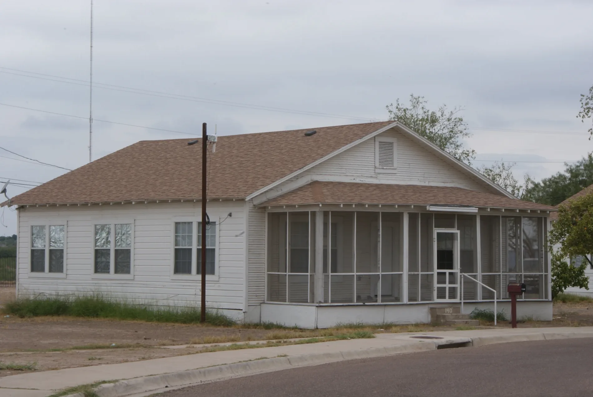
Wholesale stores
Convenience stores
Accessory shops
Variety stores
Candy stores
Bus stops
- bus lines 3, 7, 10, 11, 12A, 12B, 13, 16, 17
Restaurants
Fast food restaurants
Cafes
Money transfer services
Opticians
Artworks
Clothing stores
Drugstores
Bag stores
Perfume shops
Beauty salons
Streets nearby
Prime RoadLaredo College
500 ft
Lamar Road500 ft
Sherman RoadPalomino Café
0.1 mi
Hagadorn Road0.2 mi
Crawford Road0.3 mi
Bee RoadFountain of Knowledge
0.3 mi
Veterans WalkwayPrivate David B. Barkley Cantu
0.3 mi
Davis Road0.3 mi
Sheridan Road0.3 mi
Attractions nearby
Texas Mexican Railway Co. Car0.3 mi
Bookstores nearby
Book Store0.2 mi
Buildings nearby
International Boundary & Water Commission0.2 mi
Quarter Master's Storehouse0.2 mi
Highway Patrol0.2 mi
Association of Logistics Forwarding Agnents Inc.0.3 mi
Laredo Licensed U.S. Customs Brokers Association0.3 mi
American Red Cross0.3 mi
Laredo College Veterans Center0.3 mi
Granary0.3 mi
Chapels nearby
Private David B. Barkley Cantu Memorial Chapel0.3 mi
Dormitories nearby
Athletic Dorm0.3 mi
Libraries nearby
Harold R. Yeary Library0.2 mi
Military areas nearby
Armed Forces Reserve Center0.2 mi
Museums nearby
Imaginarium of South Texas300 ft
Parks nearby
Rancho La Union Plaza0.3 mi
Police stations nearby
Laredo College Campus Police400 ft
Sports halls nearby
Maravillo Gym0.2 mi
Technical colleges nearby
Lerma-Peña Building400 ft
Laredo College Human Resources550 ft
Arechiga Hall0.1 mi
Administration Annex0.1 mi
Community & Media Relations Office0.1 mi
Corral0.1 mi
Adkins Building0.1 mi
Guadalupe & Lilia Martinez Fine Arts Center0.1 mi
Kazen Student Center0.1 mi
Purchasing Department0.1 mi
Laird Hall0.2 mi
Memorial Hall0.2 mi
Payroll Office0.2 mi
Elpha Lee West Building0.2 mi
J.C. Martin Building0.2 mi
Hachar Vocational Building0.2 mi
Eloy Garcia Building0.2 mi
Cooling Plant0.3 mi
Lopez Nursing Center0.3 mi
Ruben M. Garcia Allied Health Center0.3 mi
President's Home0.3 mi
De La Garza Building0.3 mi
Print Shop0.3 mi
 Public transit map Laredo Legend
| Railway | |
| Bus | |
| Streetcar |
 Bicycle map Laredo Legend
| Bike path | |
| Bike lane on roadway | |
| Cycling allowed on bus lane | |
| Bicycle street | |
| Open to cyclists | |
| Open to cyclists, good path | |
| Cycling prohibited | |
| Cobblestone |
| Long-distance bike route | (depending on scale) | |
| Long-distance bike route |
 Pedestrian map Laredo Legend
| Path |
| Long-distance hiking trail | (depending on scale) | |
| Long-distance hiking trail | ||
| Pedestrians prohibited |