
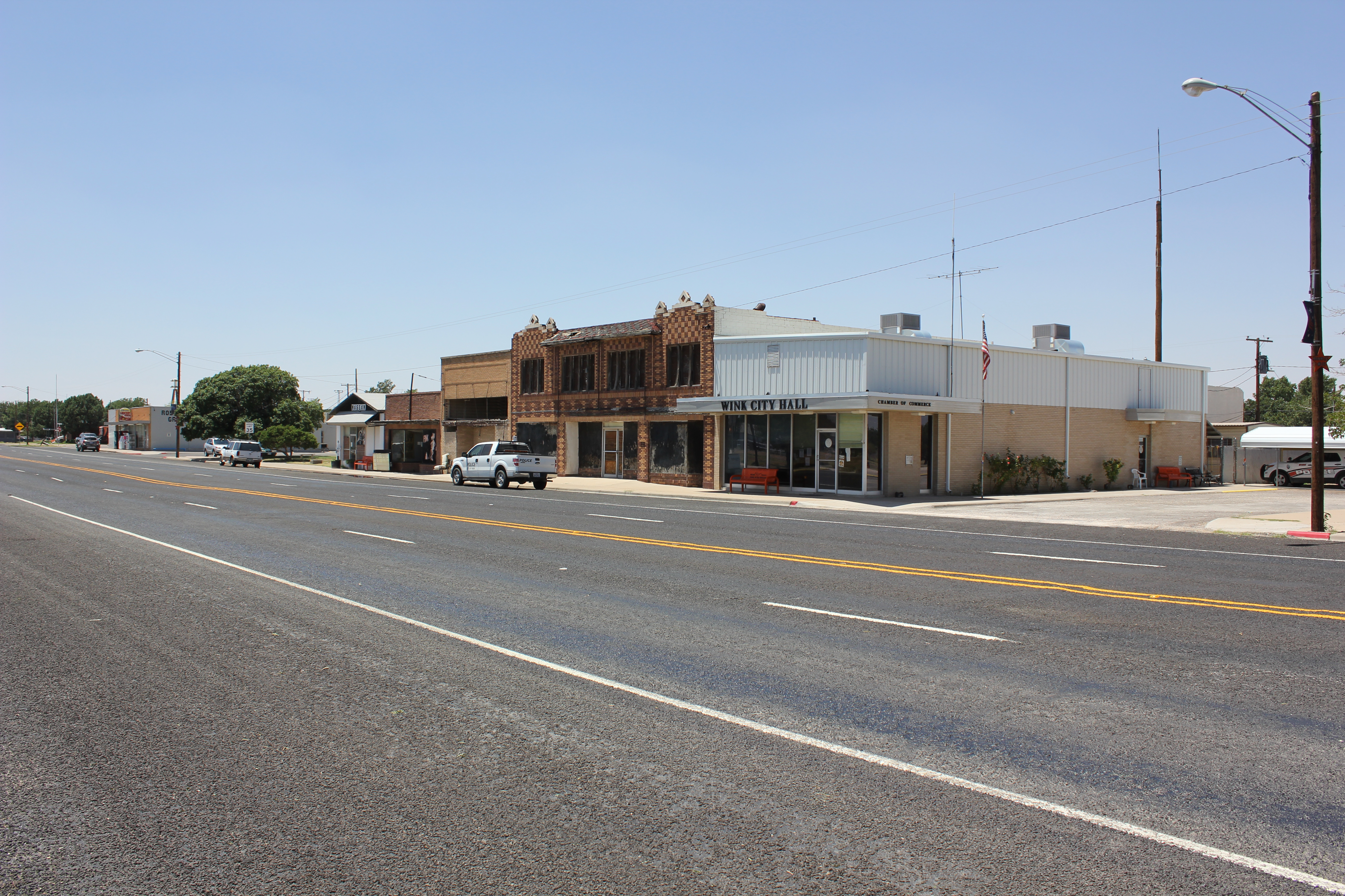
Northeast 5th Street in Wink, Texas
Northeast 5th Street in Wink is a residential street. It runs in an east-west direction starting from North Cross Avenue and crosses North Monahans Drive, North Rosey Dodd Avenue and North Winkler Avenue and ends at North Wildcat Drive. Northeast 5th Street also exists in Moore County, Castro County, Swisher County, Lamb County and Floyd County.
- Road Type
- residential street
- Route
- east-west
Image
Streets nearby
North Monahans Drive450 ft
North Rosey Dodd Avenue550 ft
Northeast 4th Street0.1 mi
Hendricks BoulevardNorthside
0.1 mi
North Cross Avenue0.2 mi
Bonnieway0.2 mi
Northeast 3rd Street0.2 mi
Rosey Dodd0.2 mi
7th Street0.2 mi
North Wildcat Drive0.2 mi
9th Street0.3 mi
Northeast 2nd StreetWink
0.3 mi
North Roy Orbison Drive0.3 mi
North Winkler Avenue0.3 mi
8th Street0.3 mi
Southeast 1st Street0.3 mi
North Gardner Avenue0.3 mi
Northeast 10th Street0.3 mi
Northeast 7th Street0.3 mi
10th Street0.3 mi
Northeast 8th Street0.4 mi
North Center StreetEast Heights
0.4 mi
Andrews Street0.4 mi
North Ray Orbison Drive0.4 mi
North 12th Street0.5 mi
12th Street0.5 mi
Buildings nearby
Wink-Loving ISD Admin Building0.3 mi
Wink-Loving ISD Transportation Center0.3 mi
Convenience stores nearby
Allsup's0.3 mi
Exhibition centers nearby
Winkler County Expo Center0.3 mi
Fire stations nearby
Wink Volunteer Fire Department0.2 mi
Gas stations nearby
Valero0.3 mi
Museums nearby
Roy Orbison Museum0.2 mi
Places of worship nearby
First United Methodist Church0.1 mi
First Baptist Church0.2 mi
Wink Church of Christ0.3 mi
Post offices nearby
United States Post Office0.3 mi
Restaurants nearby
Champ's Drive Inn0.1 mi
School buildings nearby
Coach Dan Thomas Career & Technical Education Center500 ft
Wink High School0.1 mi
Wink Elementary School0.2 mi
Frank R.Barton Physical Fitness Center0.2 mi
Wink-Loving ISD Gym0.2 mi
Wink Band Hall0.2 mi
Sports fields nearby
Wildcat Field0.3 mi
Stadiums nearby
Wildcat Stadium0.3 mi
Supermarkets nearby
Robertson's Grocery0.3 mi
Theaters nearby
(Abandoned) Historic Rig Theator0.2 mi
Town halls nearby
Wink City Hall0.2 mi
Public transit map Wink Legend
| Railway | |
| Bus | |
| Streetcar |
Bicycle map Wink Legend
| Bike path | |
| Bike lane on roadway | |
| Cycling allowed on bus lane | |
| Bicycle street | |
| Open to cyclists | |
| Open to cyclists, good path | |
| Cycling prohibited | |
| Cobblestone |
| Long-distance bike route | (depending on scale) | |
| Long-distance bike route |
Pedestrian map Wink Legend
| Path |
| Long-distance hiking trail | (depending on scale) | |
| Long-distance hiking trail | ||
| Pedestrians prohibited |