
Escalante, Utah
Escalante is located in Garfield County. About 786 people live here (as of 2020). Between 2010 and 2020, the population declined from 797 to 786. The region is at 1774 meters above sea level. The area covers about 8.6 square kilometers. There are about 111 streets in Escalante. The region was founded in 1875. The ZIP codes are 84726. The dialing code is 435. The name originates from Dominguez-Escalante Expedition (Spanish journey of exploration) Escalante is city in Garfield County, Utah, United States. Among other things, Escalante has hotels, restaurants, cafés, supermarkets and museums. More information at www.escalantecity-utah.com.
Escalante – Facts
| Population | 786 |
|---|---|
| Area | 8.6 km² |
| Named after | Dominguez-Escalante Expedition |
| Year built | 1875 |
| Elevation | 1774 m |
| Located in | Garfield County |
| Postal code | 84726 |
| Country | United States |
| Official name | Escalante |
| Website | http://www.escalantecity-utah.com/ |
Data source: Wikidata (CC0)
Photos from Escalante
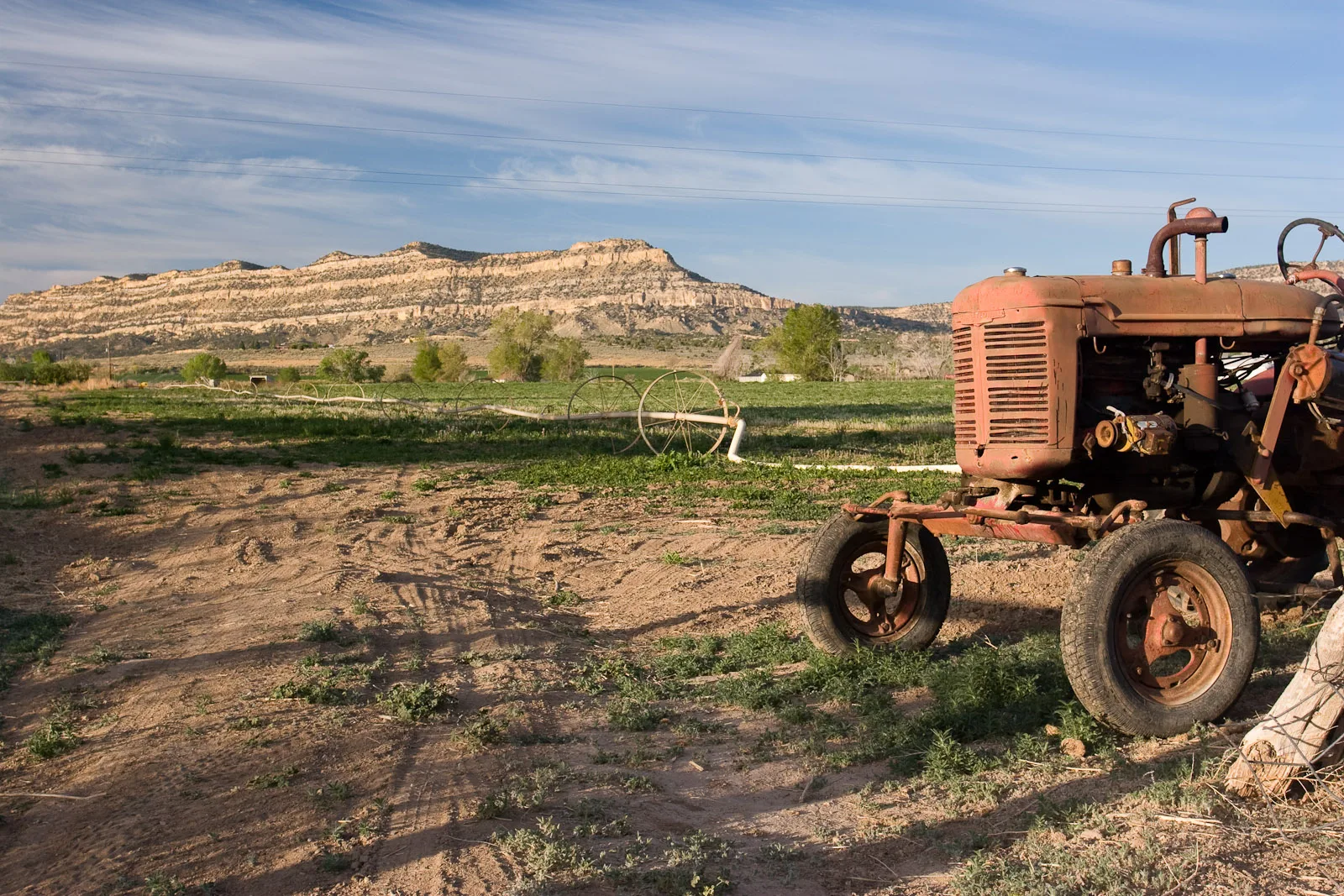
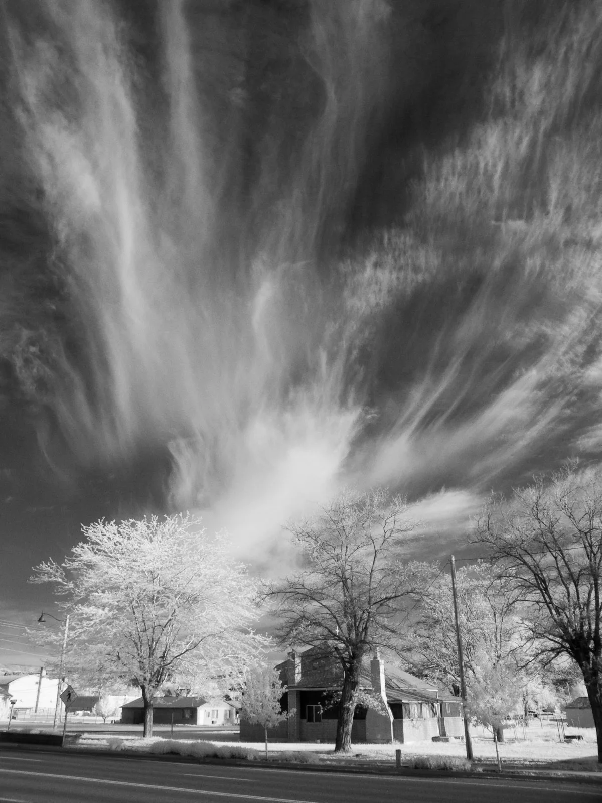
Streets in Escalante, Utah
Streets
200 South
600 West
200 West
800 West
350 North
300 South
100 West
450 East
325 North
Main Street
Escalante, Escalante Outfitters Store, Escalante Outfitters Campground, High Adventure, Circle D Eatery, Skyhoopi Thrift Store, Escalante Outfitters, Subway
450 West
400 West
50 North
200 East
South Center Street
200 NorthEscalante Escapes
100 South
300 WestEsca-Latte Cafe
300 EastFamily Dollar
400 South
500 South
100 EastTrailhead Café & Grill
325 East
100 North
500 West
1350 South
400 North
450 South
Center Street
300 North
165 North
800 East
600 South
350 SouthSinclair
275 North
700 West
Moqui Lane
475 SouthCommercial buildings
Convenience stores
Fast food restaurants
Fire stations
Gas stations
Guest houses
Hostels
Libraries
Motels
Outdoor stores
Parks
Places of worship
Post offices
Pubs
Restaurants
Rv parks
Supermarkets
Tourist information centers
Vacation homes
 Public transit map Escalante Legend
 | Railway | |
| Bus | |
| Streetcar |
 Bicycle map Escalante Legend
 | Bike path | |
| Bike lane on roadway | |
| Cycling allowed on bus lane | |
| Bicycle street | |
| Open to cyclists | |
| Open to cyclists, good path | |
| Cycling prohibited | |
| Cobblestone |
| Long-distance bike route | (depending on scale) | |
| Long-distance bike route |
 Pedestrian map Escalante Legend
 | Path |
| Long-distance hiking trail | (depending on scale) | |
| Long-distance hiking trail | ||
| Pedestrians prohibited |