
300 East in Escalante, Utah
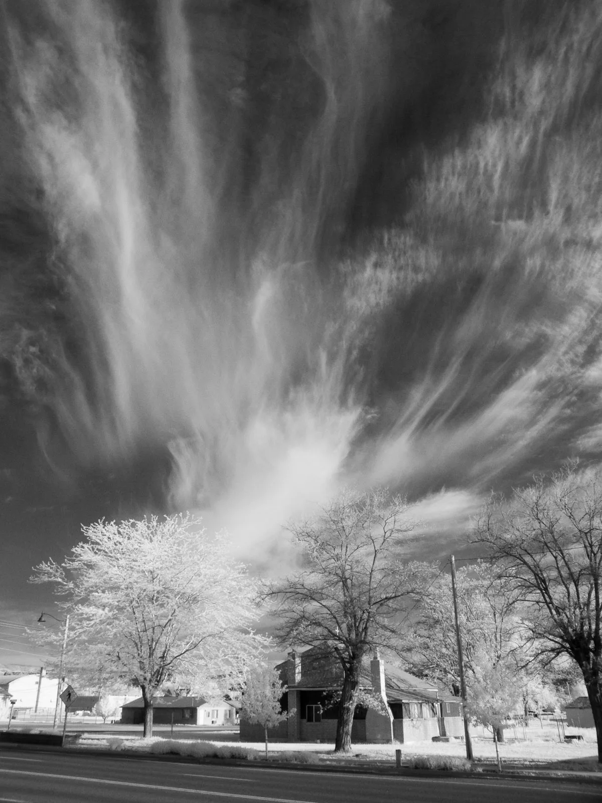
300 East in Escalante is an asphalted local road. It runs in a north-south direction starting from 200 North and crosses 165 North, 100 North, 50 North, Main Street, 100 South and 200 South and ends at 300 South. Nearby there is a supermarket. 300 East also exists in Panguitch and Bryce Canyon City.
- Road Type
- local road
- Route
- north-south
Image
Supermarkets
Streets nearby
50 North300 ft
Main StreetEscalante, Escalante Outfitters Store, Escalante Outfitters Campground, High Adventure, Circle D Eatery, Skyhoopi Thrift Store, Escalante Outfitters, Subway
400 ft
325 East400 ft
200 NorthEscalante Escapes
0.2 mi
450 East0.2 mi
100 South0.2 mi
100 EastTrailhead Café & Grill
0.2 mi
200 East0.3 mi
200 South0.3 mi
Posey Lake Road0.3 mi
165 North0.3 mi
Moqui Lane0.3 mi
Center Street0.4 mi
100 West0.4 mi
300 South0.4 mi
300 North0.5 mi
Pine Creek Lane0.6 mi
200 West0.6 mi
100 North0.6 mi
400 North0.7 mi
Banks nearby
State Bank of Southern Utah0.6 mi
Buildings nearby
Historic Escalante Showhouse0.4 mi
Escalante City Office0.4 mi
Cabins nearby
Lost Cabin0.7 mi
Cabin 10.7 mi
Cabin 20.7 mi
Cabin 30.7 mi
Cabin 70.7 mi
Cabin 60.7 mi
Cabin 50.7 mi
Cabin 40.7 mi
Commercial buildings nearby
Excursions of Escalante0.2 mi
Convenience stores nearby
Escalante Mercantile & Natural Grocery0.6 mi
Fast food restaurants nearby
Nemo's Drive Thru Burger0.3 mi
Fire stations nearby
Escalante Fire Department0.3 mi
Gas stations nearby
Phillips 660.2 mi
Guest houses nearby
Rainbow Country Bed & Breakfast0.4 mi
Hotels nearby
The INN of Escalante0.6 mi
Libraries nearby
Escalante Library0.4 mi
Motels nearby
Canyons Bed and Breakfast0.2 mi
Padre Motel0.3 mi
Cowboy Country Inn0.4 mi
Outdoor stores nearby
Utah Canyon Outdoors0.7 mi
Parks nearby
Escalante City Park0.3 mi
Places of worship nearby
First Baptist Church0.2 mi
The Church of Jesus Christ of Latter-day Saints0.4 mi
Post offices nearby
United States Post Office0.6 mi
Restaurants nearby
Ranch Dog Kitchen400 ft
Supermarkets nearby
Griffin's Grocery & General Merchandise0.3 mi
 Public transit map Escalante Legend
| Railway | |
| Bus | |
| Streetcar |
 Bicycle map Escalante Legend
| Bike path | |
| Bike lane on roadway | |
| Cycling allowed on bus lane | |
| Bicycle street | |
| Open to cyclists | |
| Open to cyclists, good path | |
| Cycling prohibited | |
| Cobblestone |
| Long-distance bike route | (depending on scale) | |
| Long-distance bike route |
 Pedestrian map Escalante Legend
| Path |
| Long-distance hiking trail | (depending on scale) | |
| Long-distance hiking trail | ||
| Pedestrians prohibited |