
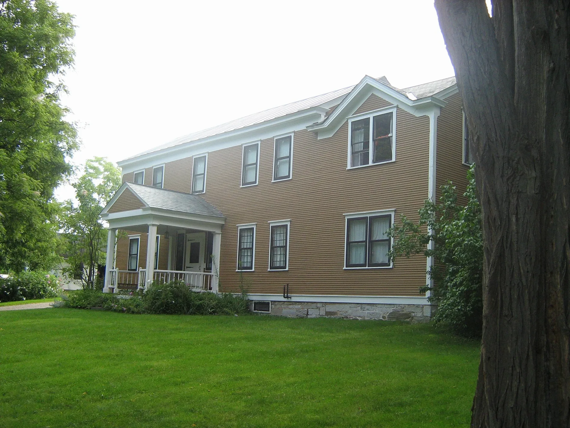
Rokeby in Ferrisburgh, Vermont
Rokeby in Ferrisburgh is a farmyard. Rokeby is also known as Rokeby Museum. Ⓦ.
- Land Use
- farmyard
Image
Convenience stores
Restaurants
Farm stores
Self storages
Stations
Campgrounds
Tourist information centers
Schools
Viewpoints
Fast food restaurants
Places of worship
Platforms
Museums
Gas stations
Fire stations
Clothing stores
Pubs
Furniture stores
Cemeteries
Streets nearby
Ethan Allen HighwayHistorical Marker: "Rokeby", Spade Farm Covered Bridge, Starry Night Cafe, The Vermont Flannel Company, Mobil, Village Tavern, Jolley, Adirondack Guideboat, McDonald's, Jiffy Mart
500 ft
Robinson Road0.6 mi
Westin Road0.7 mi
State Forest Road0.7 mi
Round Barn Road0.8 mi
Old Orchard Way0.9 mi
Henry's Way0.9 mi
Buckwheat Street1.0 mi
Green Meadow Lane1.0 mi
Haigis Lane1.1 mi
Atkins Farm Road1.1 mi
Rabbit Run1.1 mi
Shellhouse Mtn Road1.2 mi
Evergreen Lane1.2 mi
Mountain Meadow1.4 mi
Depot Road1.4 mi
Creamery Road1.4 mi
Dakin Road1.4 mi
Little Chicago RoadFerrisburgh
1.5 mi
Shellhouse Mountain Road1.5 mi
Middlebrook RoadHistoric Marker: The Great Convention
1.5 mi
Satterly Road1.6 mi
Stone Meadow Lane1.6 mi
Jewell Lane1.6 mi
Quaker StreetDakin Farm
1.6 mi
Quaker Street Extension1.7 mi
Little Otter Lane1.7 mi
Loven Lane1.8 mi
Steeple Wood Lane1.8 mi
Lewis Creek Drive1.8 mi
Pierce Lane1.9 mi
Avery Road1.9 mi
Ashley Road1.9 mi
Bird Haven Lane2.0 mi
Greenbush Road2.1 mi
Gilson Lane2.3 mi
Pidgeon's Roost2.3 mi
Long Point Road2.3 mi
Cemeteries nearby
Old Quaker Cemetery0.6 mi
Union Cemetery1.3 mi
Quaker Cemetery1.6 mi
Delis nearby
Gilfeathers1.2 mi
Fire stations nearby
Ferrisburgh Volunteer Fire Department0.5 mi
Places of worship nearby
Ferrisburgh Center United Methodist Church1.1 mi
Ferrisburg Community Church1.2 mi
Railways nearby
Northern Subdivision1.7 mi
Retail buildings nearby
Dakin Farm1.5 mi
Rivers nearby
Little Otter Creek2.0 mi
Town halls nearby
Ferrisburgh Town Hall1.1 mi
| Located in | Ferrisburgh |
|---|---|
| Country | United States |
 Public transit map Ferrisburgh Legend
| Railway | |
| Bus | |
| Streetcar |
 Bicycle map Ferrisburgh Legend
| Bike path | |
| Bike lane on roadway | |
| Cycling allowed on bus lane | |
| Bicycle street | |
| Open to cyclists | |
| Open to cyclists, good path | |
| Cycling prohibited | |
| Cobblestone |
| Long-distance bike route | (depending on scale) | |
| Long-distance bike route |
 Pedestrian map Ferrisburgh Legend
| Path |
| Long-distance hiking trail | (depending on scale) | |
| Long-distance hiking trail | ||
| Pedestrians prohibited |