
Winooski River in South Burlington, Vermont
Winooski River in South Burlington is a river. Winooski River is also known as River Ouijstic. Winooski River also exists in Winooski, Essex Junction, Burlington, Williston and Richmond. Ⓦ.
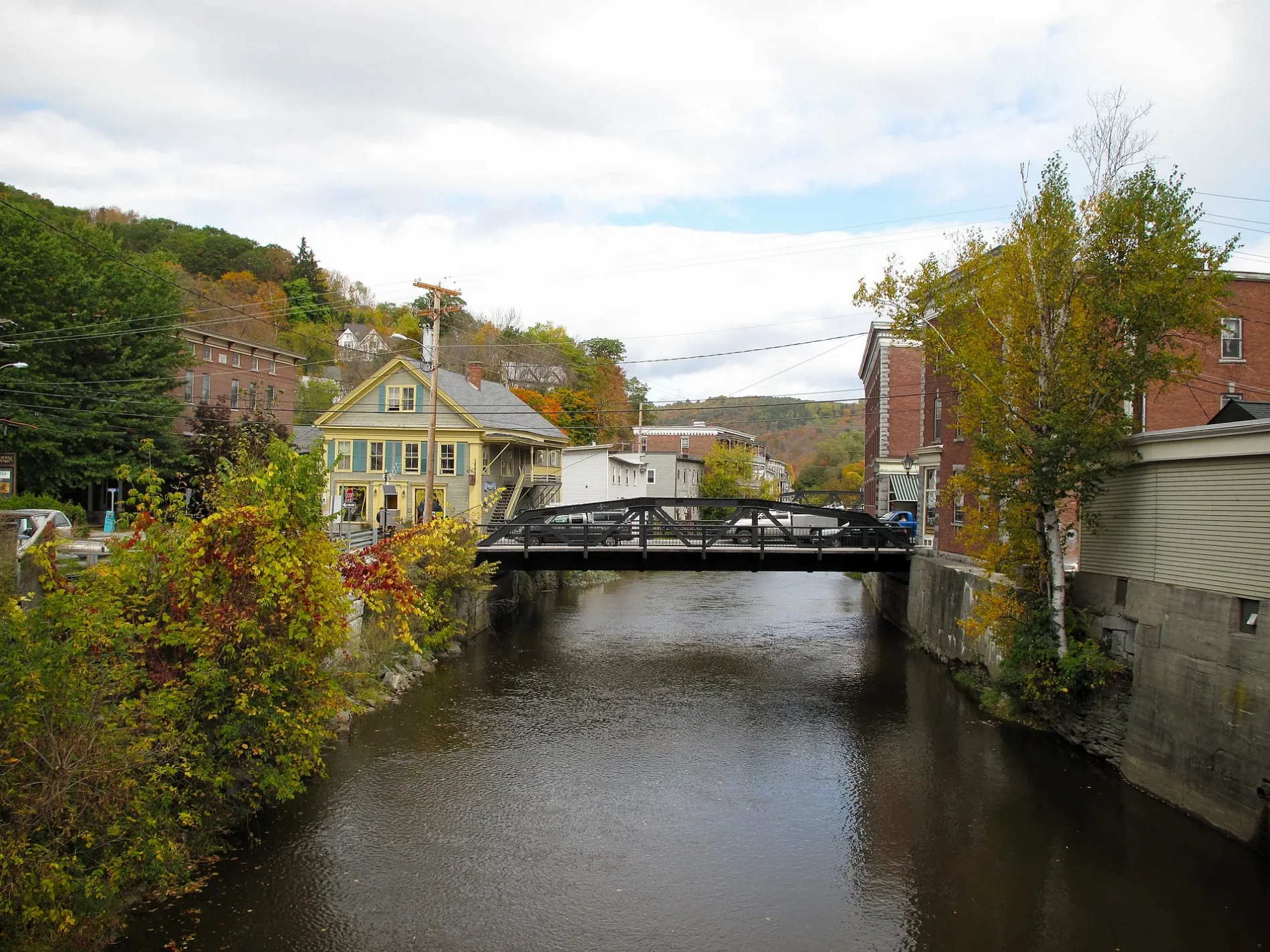
- Waterway Type
- river
Auto repair shops
Banks
Tourist information centers
Cafes
Appliance stores
Beauty salons
Bus stops
Dentist offices
Car dealerships
Pubs
Self storages
Pet stores
Bike shops
Restaurants
Hair salons
Stations
Recycling stations
Doctor's offices
Florists
Streets nearby
Falcon Street0.2 mi
Country Club Drive East0.2 mi
Cinda Street0.3 mi
Mountain View Boulevard0.3 mi
Mustang Pass0.3 mi
Dairy Lane0.3 mi
Kitty Street0.4 mi
Country Club Drive0.4 mi
National Guard AvenueMuddy Brook Recreation Area
0.4 mi
NCO Drive0.4 mi
Belter Lane0.5 mi
Poor Farm Road0.6 mi
River Cove RoadRiver Cove Animal Hospital
0.6 mi
Lavoie Drive0.7 mi
Ketcham Drive0.7 mi
South Street0.7 mi
Mike New Loop0.8 mi
Commerce Avenue0.8 mi
Cascade Street0.8 mi
Jeff Vincent Trail0.8 mi
Cushing Drive0.8 mi
Giles Drive0.8 mi
Dunbar Drive0.8 mi
Lime Rock Road0.8 mi
Airport Drive0.9 mi
Tyler Drive0.9 mi
Ethan Allen DriveWeird Window Brewing
0.9 mi
Airport CircleBurlington Airport, The Skinny Pancake
0.9 mi
Delaware Street0.9 mi
Nahma Avenue1.0 mi
Airport Rec Path1.0 mi
Ledoux Terrace1.0 mi
Wilkinson Drive1.0 mi
Green Connector1.1 mi
Red Connector1.1 mi
Buildings nearby
Building 1700.3 mi
Burlington International Airport0.9 mi
Delis nearby
Aviation Deli1.0 mi
Garages nearby
The 4x4 Center0.9 mi
Hardware stores nearby
A.H. Harris1.0 mi
Military areas nearby
Burlington Air National Guard Base0.2 mi
Nature reserves nearby
Saint Michael's College Natural Area0.7 mi
Streams nearby
Allen Brook0.5 mi
Muddy Brook0.9 mi
Other nearby
D0.9 mi
C0.9 mi
F0.9 mi
K0.9 mi
J1.0 mi
| Length | 144 |
|---|---|
| Located in | Vermont |
| Country | United States |
| Mouth | Richelieu River, Lake Champlain |
Public transit map South Burlington Legend
| Railway | |
| Bus | |
| Streetcar |
Bicycle map South Burlington Legend
| Bike path | |
| Bike lane on roadway | |
| Cycling allowed on bus lane | |
| Bicycle street | |
| Open to cyclists | |
| Open to cyclists, good path | |
| Cycling prohibited | |
| Cobblestone |
| Long-distance bike route | (depending on scale) | |
| Long-distance bike route |
Pedestrian map South Burlington Legend
| Path |
| Long-distance hiking trail | (depending on scale) | |
| Long-distance hiking trail | ||
| Pedestrians prohibited |