
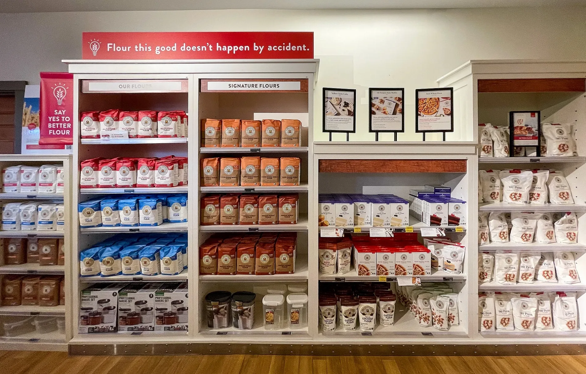
King Arthur Baking Company in Norwich, Vermont
King Arthur Baking Company in Norwich is a bakery (Cash payment, card payment, opening hours: Mon–Sun 7:30–18), U.S. Route 5 South 135 (05055) 🌐. King Arthur Baking Company is also known as King Arthur Flour. King Arthur Baking Company also exists in Hartford. Ⓦ.
- House Number
- 135
- Postal Code
- 05055
- Street
- U.S. Route 5 South
- Building Type
- yes;commercial
- Shop
- bakery
- Website
- https://www.kingarthurbaking.com/
Image
Charging stations
Hardware stores
Cafes
Wine shops
Craft stores
Post offices
Tourist information centers
Bus stops
Bookstores
Clothing stores
Streets nearby
Tomahawk Lane0.1 mi
Norwich MeadowsOpposite Kildeer Farmstand Southbound
0.1 mi
Mill Road0.1 mi
Montshire RoadMontshire Road Northbound
0.2 mi
King Arthur Trail0.3 mi
Hopson Lane0.3 mi
Blood Brook Overlook0.3 mi
Blood Brook Trail0.4 mi
Daisy Lane Trail0.4 mi
Hopson Road0.4 mi
Lewiston Hill Road0.5 mi
Betty Booth Trail0.5 mi
Ledyard LaneLewiston
0.5 mi
River Road0.5 mi
U.S. Route 5 SouthFogg's Hardware & Building Supply, King Arthur Northbound, King Arthur EV Charging, The Car Store Northbound, Opposite The Car Store Southbound
0.5 mi
Main StreetNorwich Post Office, Dan & Whit's General Store, Norwich Bookstore, Dan and Whits Eastbound, Tracy Hall Westbound, Diane's Casual Cuts, Zuzu's Gifts & Clothing, Dan & Whit's, Dan & Whit's General Store (Gas pumps), Norwich Village Historic District, McKenna Road Southbound
0.5 mi
McKenna Road0.6 mi
Ridge TrailSaturn
0.6 mi
Elm StreetBlue Sparrow Kitchen, Norwich Knits, Norwich Wine and Spirits
0.6 mi
Olcott DriveOlcott Drive Northbound, Upper Valley Produce
0.6 mi
Palmer Court0.6 mi
West Wheelock StreetWest Wheelock @ West Street Northbound, Opposite West Street Southbound
0.6 mi
Tuck Drive0.6 mi
Rosemary Littledale Rieser Trail0.7 mi
Downing Road0.7 mi
Milton Frye Nature Trails0.7 mi
Boathouse Road0.7 mi
Jones Circle0.7 mi
Amenities nearby
Child Care Center in Norwich0.2 mi
Auto repair shops nearby
Co-op Food Stores Norwich Service Center0.2 mi
Buildings nearby
Davidson Pottery Studio0.5 mi
Stave Puzzles0.6 mi
Norwich Historical Society0.7 mi
Commercial buildings nearby
Dr. Schlein's Orthodontics0.6 mi
Doctor's offices nearby
White River Family Practice0.7 mi
Farm stores nearby
Crossroad Farm Stand550 ft
Fitness centers nearby
Northern Lights Gymnastics0.6 mi
Museums nearby
Montshire Museum of Science0.4 mi
Nature reserves nearby
South Esker Natural Area0.7 mi
Parks nearby
Foley Park0.5 mi
Places of worship nearby
Unitarian Universalist Congregation of the Upper Valley0.6 mi
Saint Barnabas Episcopal Church0.7 mi
Playgrounds nearby
Timber Tumble0.5 mi
Play Grove0.5 mi
Radio equipment stores nearby
Consolidated Electrical Distribution0.6 mi
Railways nearby
Lyndonville Subdivision0.4 mi
Recreation grounds nearby
Norwich Racquet Club0.5 mi
Shelters nearby
Titcomb Cabin0.7 mi
Streams nearby
Bloody Brook0.3 mi
| Named after | King Arthur |
|---|---|
| Year built | 1790 |
| Headquarters | Norwich |
| Country | United States |
 Public transit map Norwich Legend
| Railway | |
| Bus | |
| Streetcar |
 Bicycle map Norwich Legend
| Bike path | |
| Bike lane on roadway | |
| Cycling allowed on bus lane | |
| Bicycle street | |
| Open to cyclists | |
| Open to cyclists, good path | |
| Cycling prohibited | |
| Cobblestone |
| Long-distance bike route | (depending on scale) | |
| Long-distance bike route |
 Pedestrian map Norwich Legend
| Path |
| Long-distance hiking trail | (depending on scale) | |
| Long-distance hiking trail | ||
| Pedestrians prohibited |