
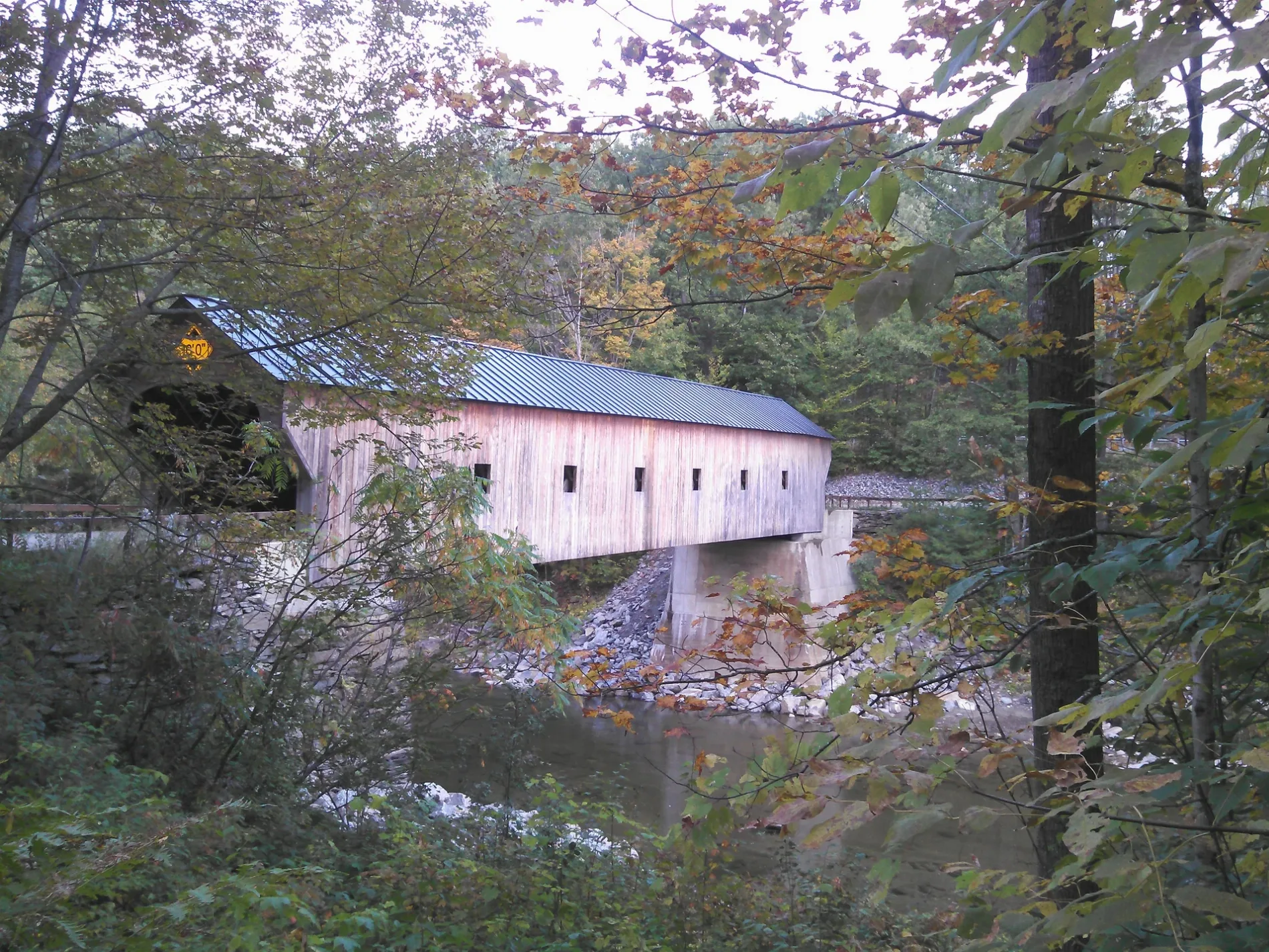
Upper Falls Covered Bridge in Weathersfield, Vermont
Upper Falls Covered Bridge in Weathersfield is an attraction. Upper Falls Covered Bridge is also known as Downers Covered Bridge. Upper Falls Covered Bridge is located near Grout Road. Ⓦ.
- Alternate Name
- Downers Covered Bridge
- Tourism
- attraction
Image
Schools
Convenience stores
Cemeteries
Parking lots
Restaurants
Streets nearby
Grout Road0.2 mi
Black River Road0.4 mi
Apple Ridge Road0.4 mi
Elk Ridge0.4 mi
Upper Falls Road0.7 mi
Branch Brook Road0.8 mi
Amsden Hollow Road0.9 mi
Amsden School Road0.9 mi
Vermont Route 131Subway, Dunkin', Jiffy Mart, Ascutney, Amsden, Downers
1.0 mi
Crown Point Road1.1 mi
Vermont Route 106Greenbush Cemetery, Perkinsville
1.1 mi
Lottery Lane1.2 mi
Tarbell Hill Road1.2 mi
Landon Drive1.3 mi
Little Ascutney RoadGreenbush
1.5 mi
Greenbush Road1.5 mi
Norrie Davies Road1.6 mi
Plains Road1.8 mi
Stevens Road1.8 mi
Mill Road1.8 mi
Plains Cemetery Road1.8 mi
Church Street1.8 mi
Quarry Road1.9 mi
High Street1.9 mi
Wells Road1.9 mi
Old Center Street1.9 mi
Pikes Peak Road2.0 mi
Sugar Lot Court2.0 mi
Piper RoadNelsons Corner
2.0 mi
Pine Hill Road2.0 mi
Susannah Johnson Lane2.0 mi
Kingsbury Lane2.0 mi
Stoughton Pond Road2.0 mi
Graves Road2.1 mi
Titcomb Covered Bridge2.2 mi
Maple Street2.2 mi
Beaches nearby
Stoughton Pond Recreation Area1.8 mi
Cemeteries nearby
Plain Cemetery1.8 mi
Grout Cemetery1.8 mi
Convenience stores nearby
Dower Corner Store0.4 mi
Dams nearby
North Branch Dam2.0 mi
Fire stations nearby
West Weathersfield Volunteer Fire Department0.5 mi
Forests nearby
Weathersfield Municipal Forest1.8 mi
Places of worship nearby
Perkinsville community church1.8 mi
Quarries nearby
Amsden Lime Quarries1.1 mi
Rivers nearby
North Branch Black River1.7 mi
School buildings nearby
Perkinsville Elementary School2.0 mi
Waters nearby
Stoughton Pond1.6 mi
Pond Quarry1.9 mi
| Located in | Vermont |
|---|---|
| Country | United States |
 Public transit map Weathersfield Legend
| Railway | |
| Bus | |
| Streetcar |
 Bicycle map Weathersfield Legend
| Bike path | |
| Bike lane on roadway | |
| Cycling allowed on bus lane | |
| Bicycle street | |
| Open to cyclists | |
| Open to cyclists, good path | |
| Cycling prohibited | |
| Cobblestone |
| Long-distance bike route | (depending on scale) | |
| Long-distance bike route |
 Pedestrian map Weathersfield Legend
| Path |
| Long-distance hiking trail | (depending on scale) | |
| Long-distance hiking trail | ||
| Pedestrians prohibited |