
Wilkerson Farm Road in Monroe, VA 24574
Wilkerson Farm Road in Monroe, VA 24574 (Amherst County) is a residential street. It runs in a southeast-northwest direction and ends at Matohe Road, while the other end is a cul-de-sac.
- Road Type
- residential street
- Route
- southeast-northwest
Image
Streets nearby
Ridgecrest Drive0.3 mi
Jennings Mountain Road0.4 mi
Autumn Glory Lane0.6 mi
Peters Hollow Road0.7 mi
Apple Grove Road1.0 mi
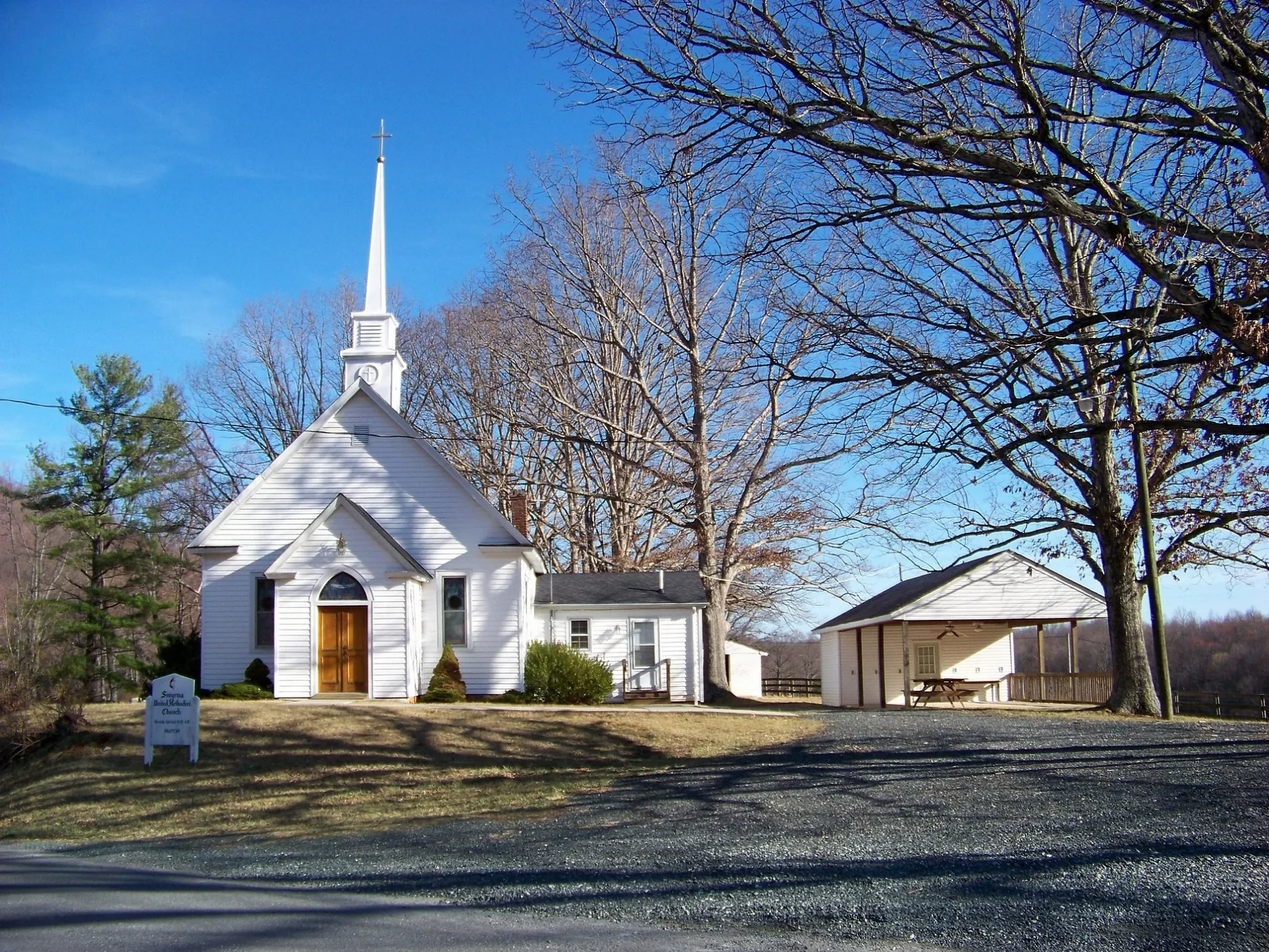
Matohe RoadShiloh Church, Smyrna Church
1.0 mi
Indigo Ridge1.1 mi
Fieldbrook Lane1.1 mi
High Peak Orchard Drive1.1 mi
Hinton Hills Lane1.2 mi
Cubbing Lane1.4 mi
Friendly Acres Lane1.5 mi
High Peak RoadBethany Church
1.5 mi
Grant's Hollow Road1.5 mi
Foxcroft Drive1.5 mi
Bridlepath Lane1.7 mi
Sardis Road1.8 mi
Sale Farm Trail1.9 mi
Saint Moor Trace1.9 mi
Tobacco Row Lane1.9 mi
Camm Trail2.0 mi
Puppy Creek Farm Road2.0 mi
Indian Mission RoadMonacan Ancestral Museum
2.1 mi
Wares Gap Road2.1 mi
Wagon Trail Road2.1 mi
Ambrose Rucker Road2.2 mi
Mayflower Lane2.4 mi
Tree Loft Lane2.4 mi
Singleton Place2.4 mi
Opus Lane2.5 mi
Bensens Hidaway Trail2.5 mi
Mount Carmel RoadMount Carmel Church
2.6 mi
Mt Carmel Road2.7 mi
Wabilyn Farm Road2.7 mi
Lavender Lane2.7 mi
Gun Mountain Drive2.8 mi
Southern Cross Lane2.8 mi
Shober Lane3.0 mi
Bramblewood Drive3.0 mi
Cove Field Drive3.0 mi
Peachtree Drive3.0 mi
Cemeteries nearby
Hicks-Morris-Peters Cemetery1.1 mi
Watts Cemetery2.2 mi
Saint Pauls Cemetery2.3 mi
Burford Cemetery2.8 mi
School buildings nearby
Father Judge Mission Seminary2.3 mi
Streams nearby
Harris Creek2.3 mi
Pryor Creek2.4 mi
Mill Creek2.8 mi
 Public transit map Amherst County Legend
| Railway | |
| Bus | |
| Streetcar |
 Bicycle map Amherst County Legend
| Bike path | |
| Bike lane on roadway | |
| Cycling allowed on bus lane | |
| Bicycle street | |
| Open to cyclists | |
| Open to cyclists, good path | |
| Cycling prohibited | |
| Cobblestone |
| Long-distance bike route | (depending on scale) | |
| Long-distance bike route |
 Pedestrian map Amherst County Legend
| Path |
| Long-distance hiking trail | (depending on scale) | |
| Long-distance hiking trail | ||
| Pedestrians prohibited |