
Bath County, Virginia
Bath County is located in Virginia. About 4,209 people live here (as of 2020). Between 2010 and 2020, the population declined from 4,731 to 4,209. The area covers about 1,384.0 square kilometers. There are about 1.365 streets in Bath County. The region was founded in 1790. The name originates from Bath (city in Somerset) Bath County is county in Virginia, United States. Among other things, Bath County has restaurants, cafés, clothing Stores, hair Salons and pharmacies. More information at www.bathcountyva.org.
Bath County – Facts
| Population | 4209 |
|---|---|
| Area | 1384 km² |
| Named after | Bath |
| Year built | 1790 |
| Located in | Virginia |
| Country | United States |
| Native name | Bath County |
| Website | https://www.bathcountyva.gov/ |
Data source: Wikidata (CC0)
Photos from Bath County
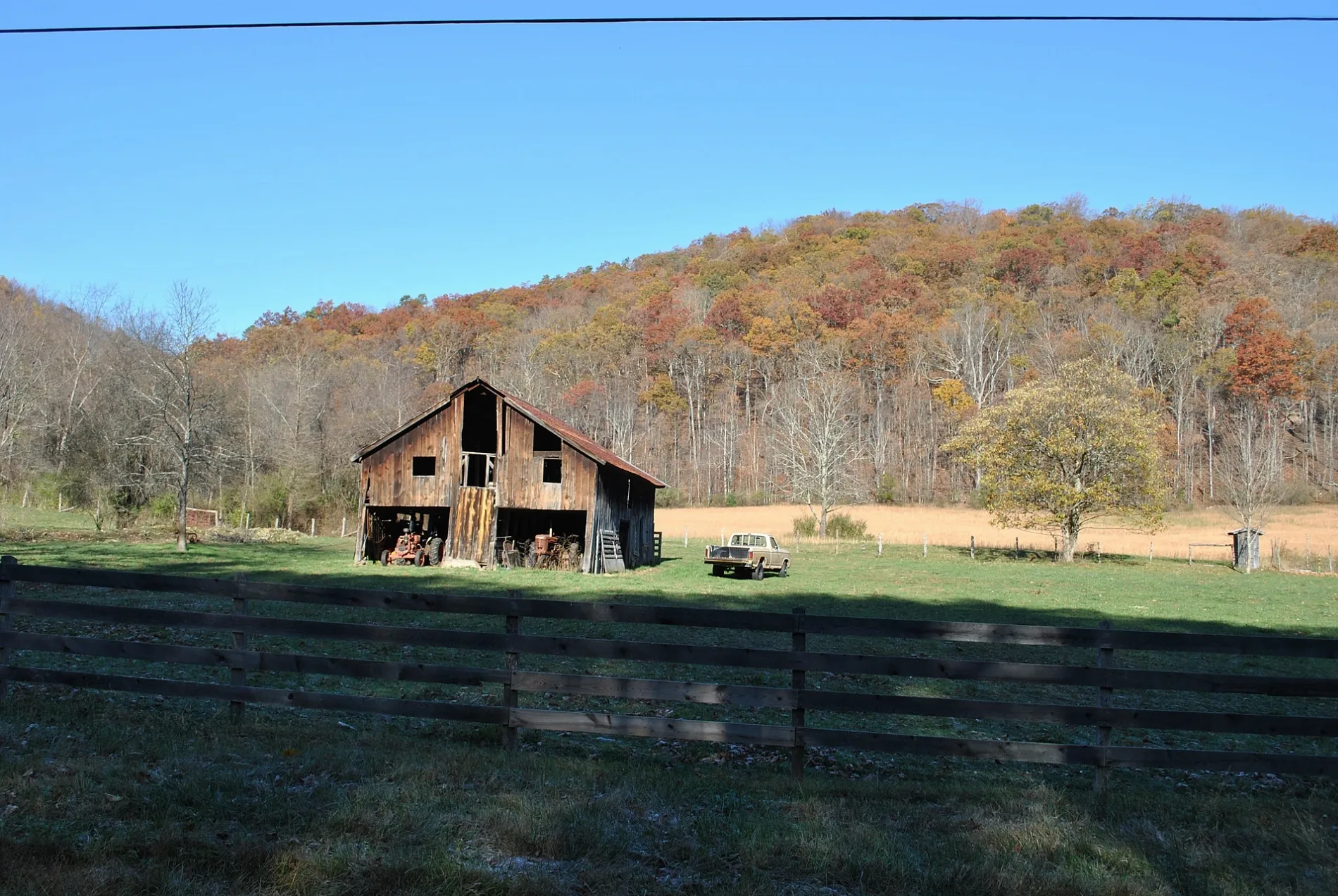


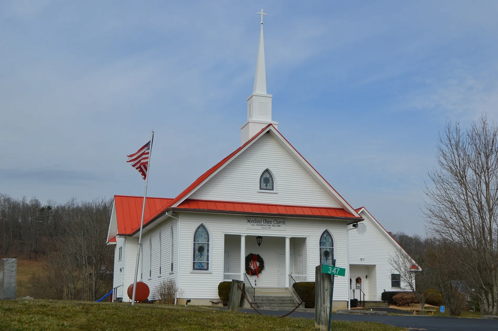
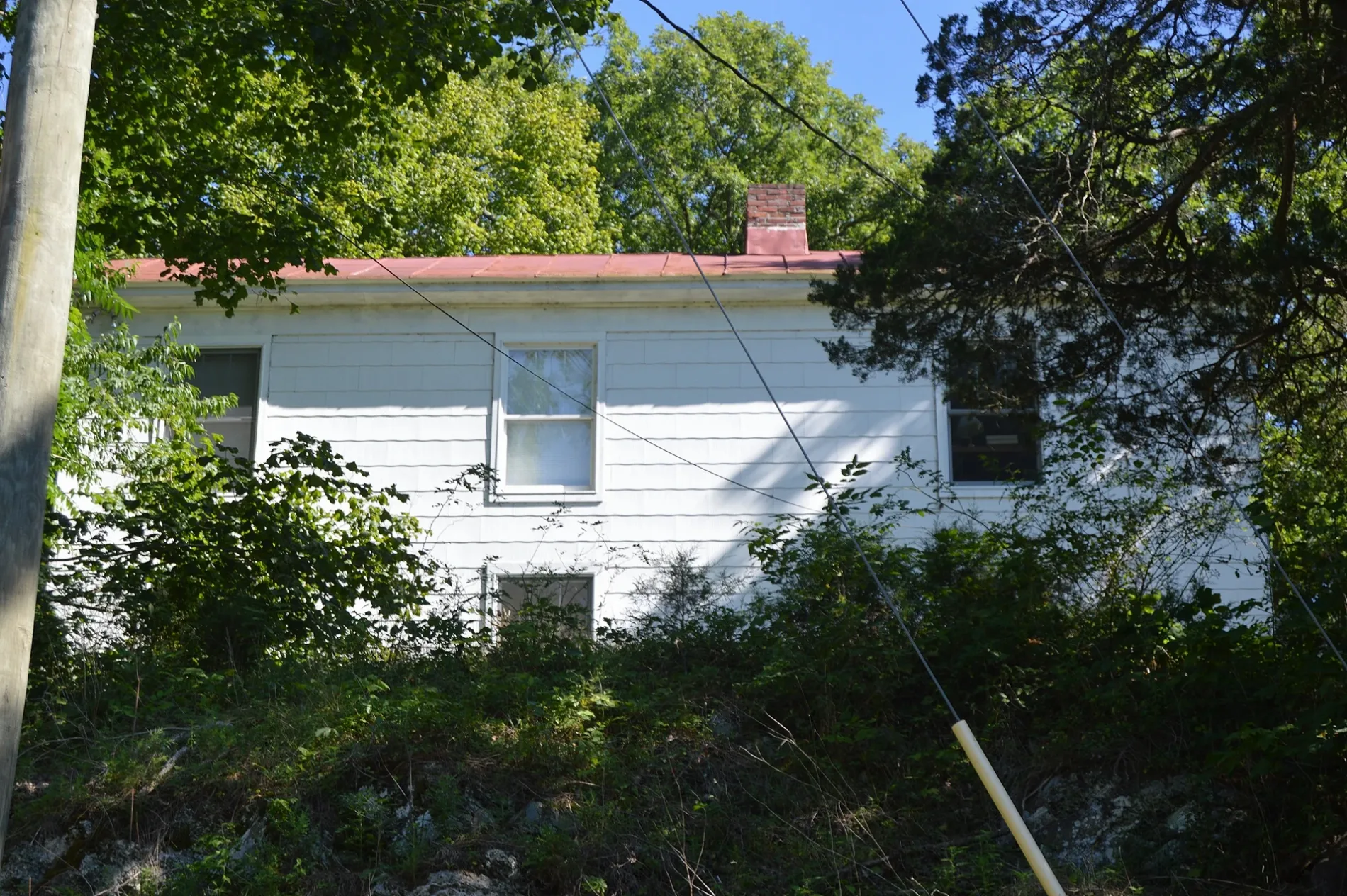
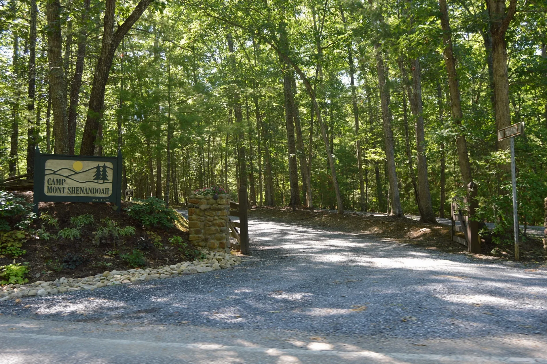
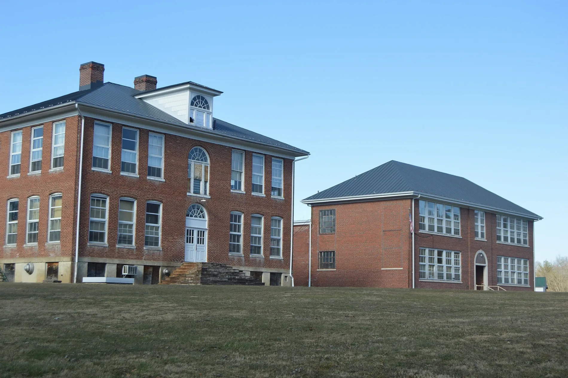


Streets in Bath County, Virginia
Streets
Main Street
Hot Springs, Bath County Farmers Market, Subway, Les Cochons d'Or, Sam Snead Tavern, Hot Springs Pharmacy, Virginia ABC, Genia's Hairstyling, Crowdertown, Bacova Junction
Sam Snead HighwayTinkertown, Ashwood, Midway, Country Cafe, Warm Springs Coffee Shop, Warm Springs Tavern, Chimney Run, Mitchelltown, Laura's Boutique - Laura's Loft, Carloover
Mountain Valley RoadCitgo, The Home Oil Co, Hotchkiss
Cowpasture River HighwayHoreb Baptist Church, Park and Ride
Fort Lewis RoadFort Lewis Lodge & Farm
Frenchs Hill DriveSaint Luke's Episcopal Church
Warm Springs Mountain TrailCompany 3 Glasgow Rescue Squad
CraneCrane
Tuscarora Overlook TrailTuscarora Overlook
Jordan RunCompany 2 Glasgow Fire Department
Old Greenhouse RoadHot Springs Presbyterian Church
Courthouse Hill RoadBath County Sherrif's Office
River RoadShiloh United Methodist Church, Shiloh
Blue Suck Falls TrailLookout Rock
Beards MountainOak Grove Church
Sunset Hill RoadLindsay's Roost
Ridge RoadMount Zion Baptist Church
Greenwood Point TrailGreenwood Point Campground
Coles Mountain Roadserenity
YCC TrailDouthat Lake View Restaurant
Spring Hill RoadMount Olive Baptist Church
Shady Lane
Golf Course Service Road
Meadow Lane Trail
Mountain Momma XXC
Blowing Springs
Coffeepot
Wallawhatoola Road
Seldom Seen Holler
Charlie Bird DriveThe Meadows
Jackson River Gorge
Stargazer Drive
Billy Goat Lane
Seven Ridges Road
Withrow Road
Salt Stump Trail
Beards Gap Trail
Open Trail
Muddy Run Road
Mountain View Road
Beyer View Road
Fowler Springs Forest Road
Christian Drive
North Forest Trace
Beaverfield Road
Guest Lodge Trail
Peery Hollow Road
Cheyennee Drive
McClung
Shepherds Trail
Pig Run Road
Neal Run
Spinner Court
Winding River Lane
Poor Farm
Lime Kiln RoadBuildings
Cabins
Campgrounds
Cemeteries
Commercial areas
Convenience stores
Courthouses
Dams
Golf courses
Mountain huts
Places of worship
Rivers
Streams
Variety stores
Viewpoints
Public transit map Bath County Legend
| Railway | |
| Bus | |
| Streetcar |
Bicycle map Bath County Legend
| Bike path | |
| Bike lane on roadway | |
| Cycling allowed on bus lane | |
| Bicycle street | |
| Open to cyclists | |
| Open to cyclists, good path | |
| Cycling prohibited | |
| Cobblestone |
| Long-distance bike route | (depending on scale) | |
| Long-distance bike route |
Pedestrian map Bath County Legend
| Path |
| Long-distance hiking trail | (depending on scale) | |
| Long-distance hiking trail | ||
| Pedestrians prohibited |