
Red Hawk Road in Bedford County, Virginia
Red Hawk Road in Bedford County is a residential street. It runs in a southeast-northwest direction and ends at Abert Road, while the other end is a cul-de-sac. Red Hawk Road also exists in Grayson County, Surry County and Henrico County.
- Road Type
- residential street
- Route
- southeast-northwest
Image
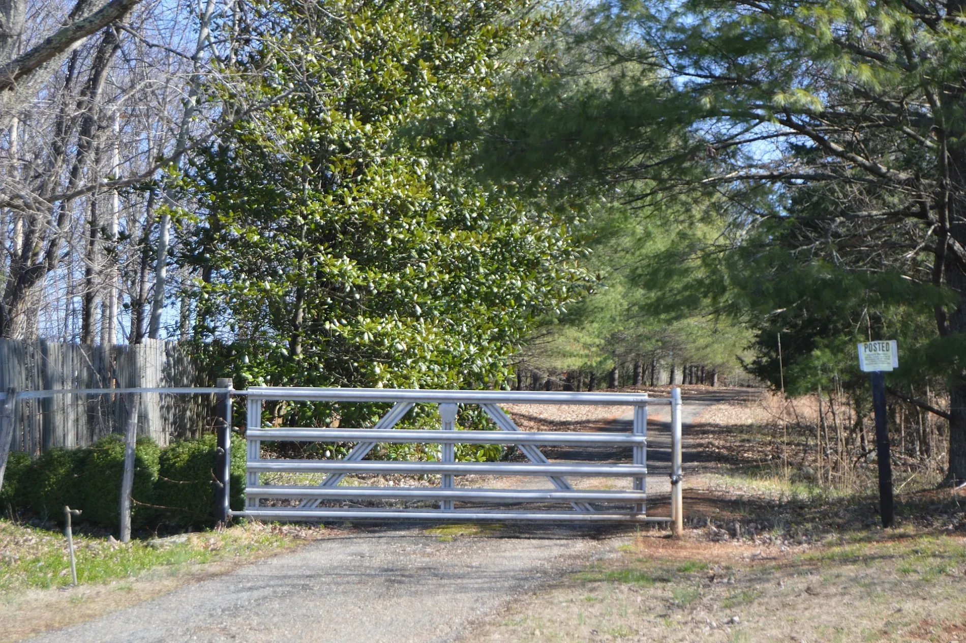
Streets nearby
Abert RoadMount Gilead Church
0.5 mi
Teal Court0.5 mi
Bateau Drive0.5 mi
Mallard Drive0.6 mi
Narrows Lane0.6 mi
Widgeon Court0.6 mi
James View Drive0.6 mi
Kanawha Lane0.7 mi
Woodcock Drive0.8 mi
Ruffed Grouse Road0.8 mi
Quail Point0.9 mi
Ledinghams Landing1.0 mi
Leah Beth Drive1.1 mi
Adams Ridge Trail1.2 mi
Trents Meadow Lane1.3 mi
Adams View Drive1.3 mi
Tinsley Road1.3 mi
Stallings Lane1.3 mi
Nikonha Lane1.4 mi
Pebbleton Lane1.4 mi
Old Abert Road1.4 mi
Surenuff Drive1.4 mi
Riverwood Drive1.5 mi
Crab Creek Road1.5 mi
Ruth Drive1.5 mi
Fair Oaks Lane1.5 mi
East Perch RoadWoodruff's Cafe & Pie Shop, Pedlar
1.5 mi
River James Overlook1.6 mi
Harvest Basket Road1.6 mi
Rock View Lane1.6 mi
Holcomb Rock Road1.6 mi
Salt Creek RoadSalt Creek
1.6 mi
Thomas Randolph Place1.6 mi
Trents Ferry Road1.6 mi
Monacan Park Road1.6 mi
Burgess Road1.7 mi
Riverview Lane1.7 mi
Lakeridge Drive1.8 mi
Eyrie View Drive1.8 mi
Ducks Lane1.9 mi
Cemeteries nearby
Mount Gilead Cemetery0.8 mi
Harris Cemetery1.4 mi
Forests nearby
Chestnut Island1.2 mi
Persimmon Island1.2 mi
Parks nearby
Monacan Park0.9 mi
Railways nearby
James River Subdivision1.7 mi
Streams nearby
Widemouth Creek0.6 mi
Crab Creek1.2 mi
Salt Creek1.7 mi
 Public transit map Bedford County Legend
| Railway | |
| Bus | |
| Streetcar |
 Bicycle map Bedford County Legend
| Bike path | |
| Bike lane on roadway | |
| Cycling allowed on bus lane | |
| Bicycle street | |
| Open to cyclists | |
| Open to cyclists, good path | |
| Cycling prohibited | |
| Cobblestone |
| Long-distance bike route | (depending on scale) | |
| Long-distance bike route |
 Pedestrian map Bedford County Legend
| Path |
| Long-distance hiking trail | (depending on scale) | |
| Long-distance hiking trail | ||
| Pedestrians prohibited |