
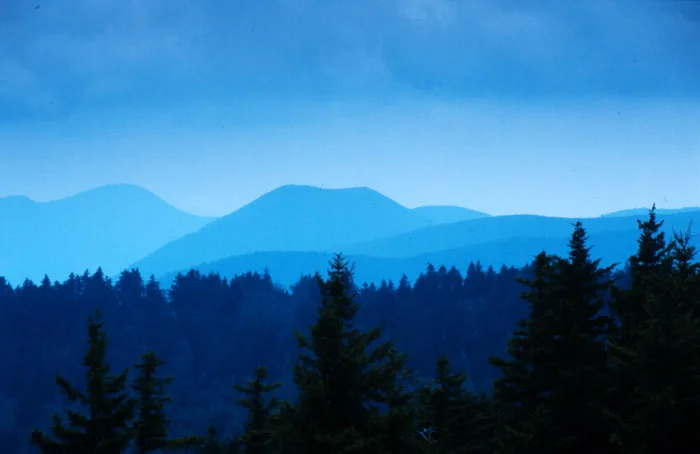
Blue Ridge Mountains in Botetourt County, Virginia
Blue Ridge Mountains in Botetourt County is a ridge. Blue Ridge Mountains is also known as Blue Ridge. Ⓦ.
- Nature
- ridge
Image
Streets nearby
Misty Mountain Lane0.9 mi
Mountain Top Lane0.9 mi
White Tail Drive0.9 mi
Serenity Lane0.9 mi
Indigo Lane1.0 mi
Fawn Court1.1 mi
Deer Haven Drive1.1 mi
Memory Lane1.1 mi
David Palmer Lane1.1 mi
Doe Drive1.1 mi
Buck Lane1.2 mi
Brickyard RoadWebster
1.2 mi
Pebbles Drive1.3 mi
Largo Drive1.3 mi
Zimmerman Road1.3 mi
West Road1.3 mi
Smith Ford Road1.3 mi
Makayla Drive1.3 mi
Meador Lane1.4 mi
Jeters Ridge Road1.4 mi
Willow Wood Drive1.4 mi
Norfolk and Western Overlook1.5 mi
Glade Creek Road1.5 mi
Davis Road1.5 mi
Blue Ridge Parkway1.5 mi
Park Drive1.5 mi
Ivory Creek Lane1.5 mi
Coyner Mountain OverlookCoyner Mountain Overlook
1.6 mi
Chestnut Hill Trail1.6 mi
Blue Ridge BoulevardBlue Ridge Auto Sales, Blue Ridge, Local Storage, Villa Pizzeria
1.7 mi
Hope Lane1.7 mi
Welches Run Road1.7 mi
Archway Road1.7 mi
Bradley Lane1.8 mi
Webster RoadCoyner Springs, Webster, Colonial Elementary School, Glade Creek Church, Glade Creek Lutheran Church
1.8 mi
Knoll Road1.8 mi
Brookfield Lane1.8 mi
Love View Lane1.8 mi
Bentley Bend1.8 mi
Dams nearby
Beaverdam Creek Dam1.2 mi
Industrial areas nearby
General Shale Brick1.7 mi
Parks nearby
Blue Ridge Park1.7 mi
Railways nearby
Blue Ridge District1.4 mi
Reservoirs nearby
Beaverdam Reservoir0.7 mi
Retail areas nearby
Blue Ridge Commons1.8 mi
Sports fields nearby
Field 11.6 mi
Field 21.7 mi
Streams nearby
Falling Creek1.5 mi
Glade Creek1.5 mi
| Elevation | 2037 m |
|---|---|
| Located in | North Carolina, Virginia, Tennessee, Maryland, Pennsylvania, West Virginia, South Carolina, Georgia, Alabama |
| Country | United States |
| Highest point | Mount Mitchell |
| Described by | The New Student's Reference Work |
| Part of | Ozark, Ouachita-Appalachian Forests |
 Public transit map Botetourt County Legend
| Railway | |
| Bus | |
| Streetcar |
 Bicycle map Botetourt County Legend
| Bike path | |
| Bike lane on roadway | |
| Cycling allowed on bus lane | |
| Bicycle street | |
| Open to cyclists | |
| Open to cyclists, good path | |
| Cycling prohibited | |
| Cobblestone |
| Long-distance bike route | (depending on scale) | |
| Long-distance bike route |
 Pedestrian map Botetourt County Legend
| Path |
| Long-distance hiking trail | (depending on scale) | |
| Long-distance hiking trail | ||
| Pedestrians prohibited |