
Clarion Road in Altavista, Virginia
Clarion Road in Altavista is a local road. It runs in a northeast-southwest direction and ends at Lynch Mill Road, while the other end is a cul-de-sac. This street is part of the highway "711".
- Road Type
- local road
- Route
- northeast-southwest
Image
Convenience stores
Fast food restaurants
Liquor stores
Variety stores
Clothing stores
Vending machines
Bus stops
Supermarkets
Restaurants
Tobacco shops
Cell phone stores
Hair salons
Gas stations
Clinics
Streets nearby
Avoca Lane0.3 mi
Fauntleroy Street0.4 mi
Valley View DriveValley View Heights
0.4 mi
Doss Street0.4 mi
Lynch Mill RoadMadd Ox Mart
0.4 mi
Sourwood Lane0.5 mi
Dogwood Lane0.5 mi
Riverview DriveRiverview Heights
0.6 mi
Pine Grove Court0.6 mi
Lakewood Circle0.6 mi
Riverview Court0.6 mi
Ash Lane0.6 mi
Main StreetMain Street North, English MHP, Subway, Domino's, LuLu's, Vista Pawn, Main Street Middle, Main Street Dollar General, Altavista Medical Center, Sleep Inn Peace, Vista Theatre, Rountrey's Hardware, Altavista, Main Street District, Main & Campbell
0.6 mi
Lakewood DriveLakewood
0.6 mi
Elm Circle0.7 mi
Elm Place0.7 mi
Elm AvenueFrazier & Elm
0.7 mi
Innovation Drive0.8 mi
Merritt Lane0.9 mi
Ivy Cliff Road0.9 mi
Dearing Ford Road0.9 mi
Business Lane1.0 mi
Barclay Lane1.0 mi
Banks nearby
First National Bank0.7 mi
Buildings nearby
Altavista Instrument and Controls0.2 mi
Abbott Laboratories0.3 mi
Treadway Racing0.5 mi
Cabins nearby
Col. Charles Lynch's Cabin0.2 mi
Cafes nearby
Joe Bean's0.8 mi
Community centers nearby
Altavista Moose Lodge0.4 mi
Dentist's offices nearby
Altavista Dental0.7 mi
Farmyards nearby
Valley View Farm0.2 mi
Fast food restaurants nearby
Taco Bell0.8 mi
Gardens nearby
Dinwiddie Arboretum0.2 mi
Hardware stores nearby
English's0.5 mi
Houses nearby
Southeast Survey Group0.5 mi
Industrial buildings nearby
Abbott - Distribution Center0.1 mi
Parks nearby
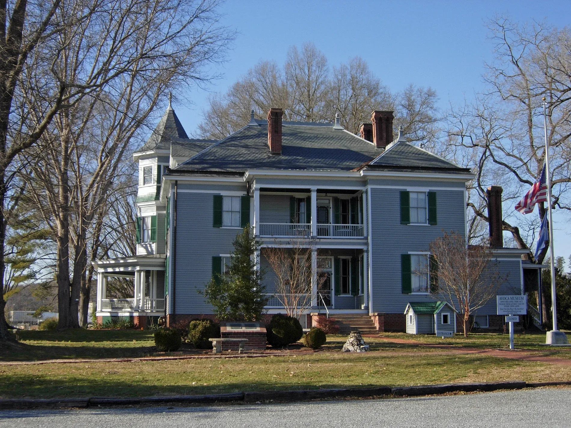
Avoca Museum0.1 mi
Places of worship nearby
Valley View Church of God0.4 mi
Pubs nearby
Two Sisters Tap Room and Deli0.6 mi
Railways nearby
Altavista District0.9 mi
Restaurants nearby
El Cerrito0.9 mi
Retail areas nearby
Town & Country Shopping Center0.7 mi
Altavista Commons0.7 mi
Rivers nearby
Staunton River / Roanoke River0.6 mi
Supermarkets nearby
Walmart Supercenter0.8 mi
Tourist information centers nearby
Sue M. Jackson Visitor Center0.2 mi
Other nearby
Altavista Substation0.4 mi
Otter Substation0.8 mi
 Public transit map Altavista Legend
| Railway | |
| Bus | |
| Streetcar |
 Bicycle map Altavista Legend
| Bike path | |
| Bike lane on roadway | |
| Cycling allowed on bus lane | |
| Bicycle street | |
| Open to cyclists | |
| Open to cyclists, good path | |
| Cycling prohibited | |
| Cobblestone |
| Long-distance bike route | (depending on scale) | |
| Long-distance bike route |
 Pedestrian map Altavista Legend
| Path |
| Long-distance hiking trail | (depending on scale) | |
| Long-distance hiking trail | ||
| Pedestrians prohibited |