
English Alley in Altavista, Virginia
English Alley in Altavista is a service road and runs in a northeast-southwest direction starting from Campbell Avenue and ends at Broad Street.
- Road Type
- service road
- Route
- northeast-southwest
Image
Public bookcases
Hotels
Secondhand stores
Vending machines
Artworks
Car dealerships
Bus stops
Tourist information centers
Garden centers
Beauty salons
Hair salons
Movie theaters
Hardware stores
Health food stores
Marketplaces
Guest houses
Streets nearby
Campbell Avenue300 ft
Gateway ParkGateway Park
400 ft
7th StreetDowntown/Town Hall, 7th & Lola, Altavista Trade Lot Farmers Market, 7th & Franklin, Linda's Barber & Beauty Shop, Shear Perfection
550 ft
3rd StreetLittle Free Library, LOVE
0.1 mi
Broad StreetDowntown Historic District, Vital Edge Nutritional Center, Solutions, Village Barber Shop, Miami Vibes, Broad & 11th, Broad & 10th
0.1 mi
Main StreetSubway, Domino's, LuLu's, Vista Pawn, Main Street Middle, Main Street North, English MHP, Main Street Dollar General, Altavista Medical Center, Sleep Inn Peace, Vista Theatre, Rountrey's Hardware, Altavista, Main Street District, Main & Campbell
0.1 mi
Washington Street0.2 mi
8th StreetAltavista Visitor's Center, Franklin & 8th
0.2 mi
Rail Line Drive0.2 mi
9th StreetLola & 9th, 9th & Commonwealth
0.3 mi
Shops nearby
I Love NY Pizza50 ft
Backwoods Auction and Artifacts0.1 mi
Altavista Online0.2 mi
Auto parts stores nearby
NAPA Auto Parts0.2 mi
Auto repair shops nearby
JR's Auto Care350 ft
English's Auto Alignment0.1 mi
Banks nearby
First National Bank0.1 mi
Truist0.2 mi
Bike shops nearby
Cyclin' Nutz0.1 mi
Buildings nearby
Smith Building Mercantile0.1 mi
Spark Innovation Center0.1 mi
Staunton River Baptist Association0.2 mi
J. Johnson Eller Jr. Law Offices0.2 mi
Butcher shops nearby
Elba Butcher Shoppe0.2 mi
Cafes nearby
Main Street Cafe & Coffee450 ft
Car washes nearby
Cardinal Car Wash500 ft
Commercial areas nearby
Downtown Area0.2 mi
Community centers nearby
Booker Building0.1 mi
Convenience stores nearby
Marathon150 ft
Dentist's offices nearby
Dr. C. M. West, Dentist400 ft
Fast food restaurants nearby
Broad Street Deli300 ft
McDonald's0.2 mi
Fire stations nearby
Manpower0.2 mi
Florists nearby
Steve's Florist350 ft
Hair salons nearby
Mint & Honey450 ft
Hardware stores nearby
Hailey's Appliance0.2 mi
Ice cream shops nearby
Scoops!0.1 mi
Jewelry stores nearby
Miller's Jewelry350 ft
Libraries nearby
Staunton River Memorial Library0.2 mi
Opticians nearby
Harman Eye Center400 ft
Parks nearby
Shreve Park0.2 mi
Places of worship nearby
Central Baptist Church400 ft
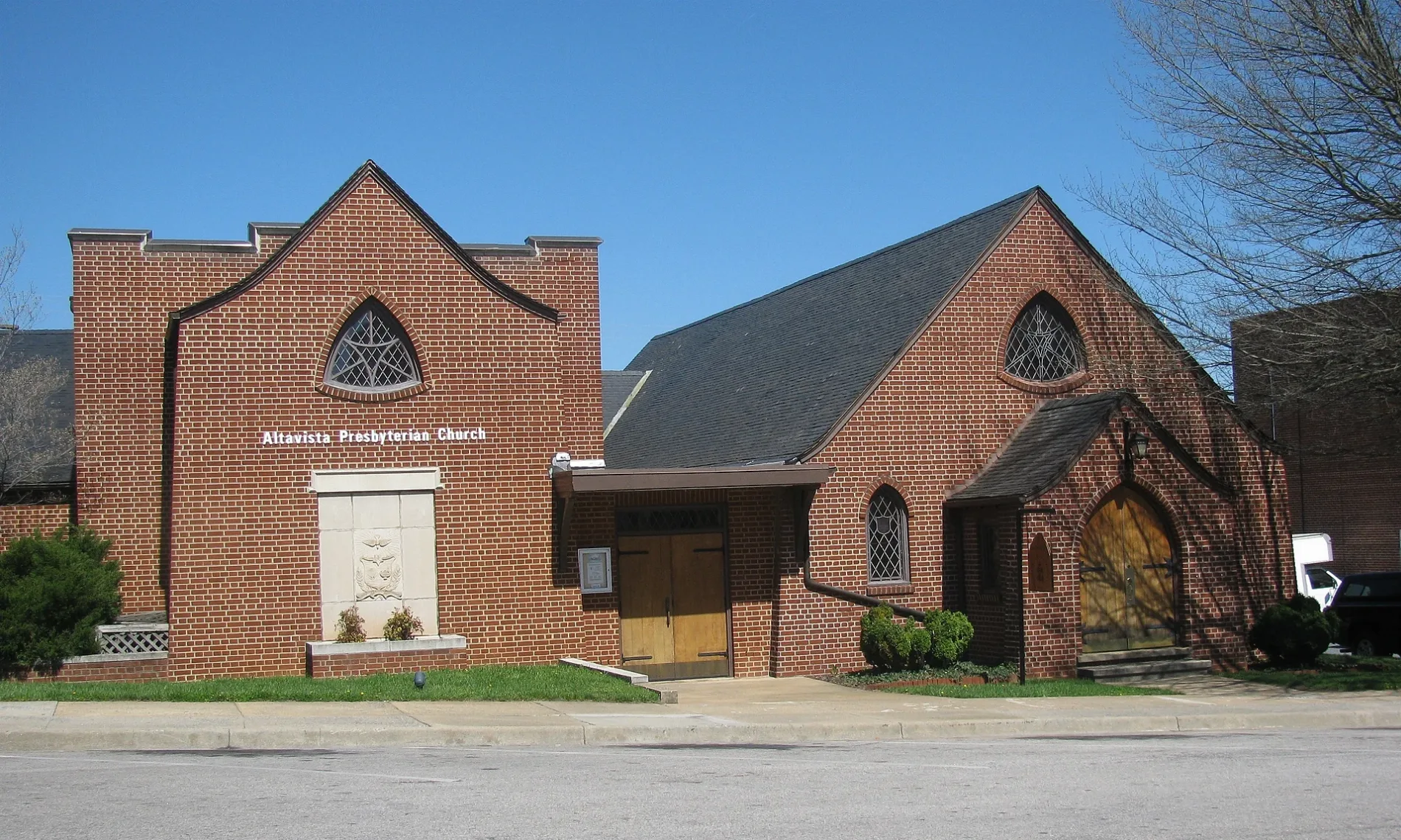
Altavista Presbyterian Church0.1 mi
Post offices nearby
Altavista Post Office0.1 mi
Restaurants nearby
Peace of Pie250 ft
Sports centers nearby
Altavista Area YMCA0.2 mi
Sports fields nearby
War Memorial Park0.3 mi
Streams nearby
Lynch Creek0.1 mi
Other nearby
Founder's Square0.2 mi
Public transit map Altavista Legend
| Railway | |
| Bus | |
| Streetcar |
Bicycle map Altavista Legend
| Bike path | |
| Bike lane on roadway | |
| Cycling allowed on bus lane | |
| Bicycle street | |
| Open to cyclists | |
| Open to cyclists, good path | |
| Cycling prohibited | |
| Cobblestone |
| Long-distance bike route | (depending on scale) | |
| Long-distance bike route |
Pedestrian map Altavista Legend
| Path |
| Long-distance hiking trail | (depending on scale) | |
| Long-distance hiking trail | ||
| Pedestrians prohibited |