
Otter River Drive in Campbell County, Virginia
Otter River Drive in Campbell County is a residential street. It runs in a northeast-southwest direction and ends at Riverbend Road, while the other end is a cul-de-sac. Otter River Drive also exists in Bedford County.
- Road Type
- residential street
- Route
- northeast-southwest
Image
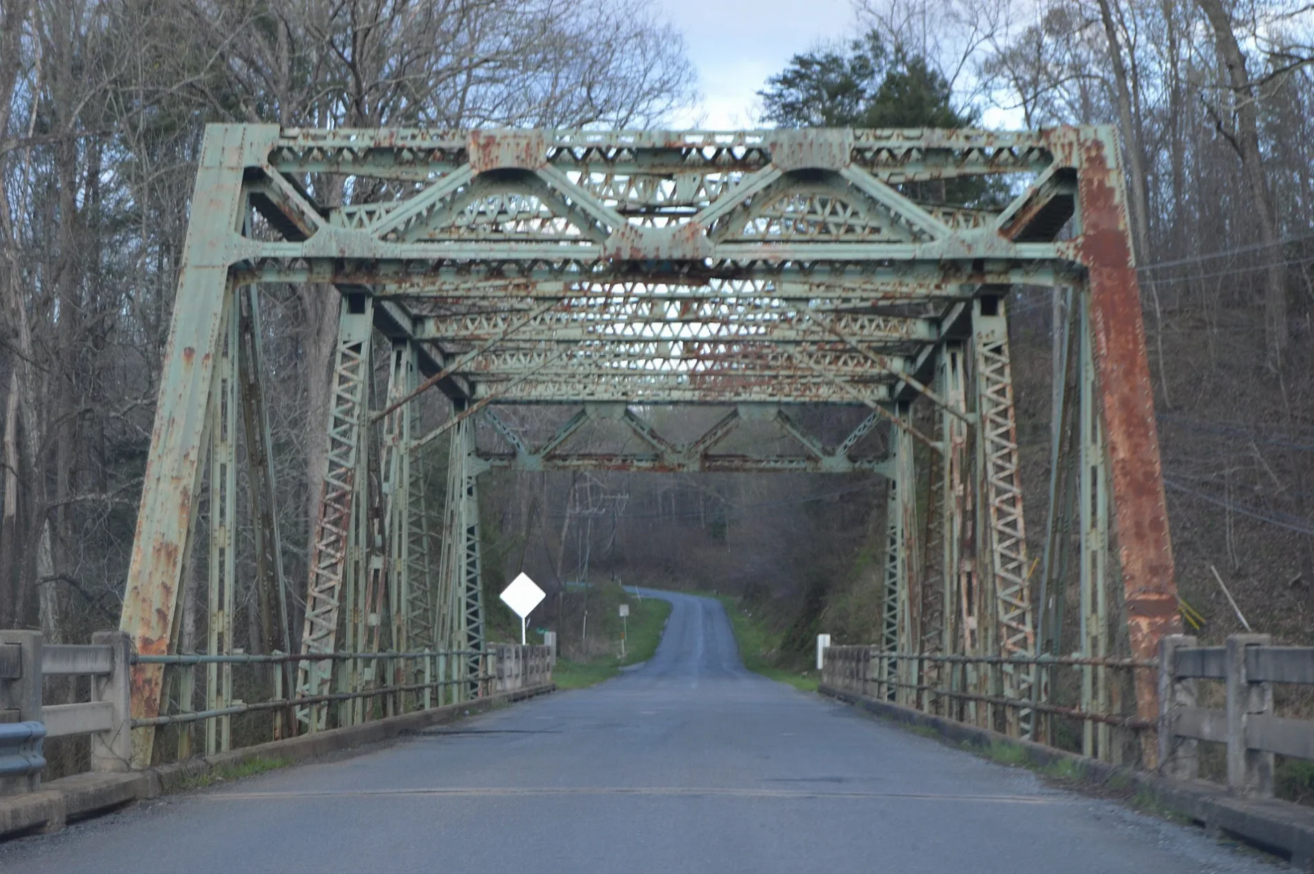
Streets nearby
Riverbend Road0.2 mi
Wards RoadCunningham Brothers Auto Parts Inc., La Carreta, GNC, Tesla Supercharger, Sligh's Feed & Supply, 29 Drive In, Walk In Care, Penuel Church, Yellow Branch, Dollar General, Subway, Foster Convenience, McDonald's, Kingston, CAT Scale, 156, Goldy's Truck Stop, Wards Rd./Spring Hill Suites (Inbound), Ridgeview Mart
0.2 mi
Castaway Road0.4 mi
Dewberry Lane0.4 mi
Mansion Bridge Road0.4 mi
Otterview Drive0.4 mi
Dearing Ford Road0.5 mi
Rising Sun Drive0.5 mi
Main Street0.5 mi
Bank Road0.6 mi
Empire Lane0.6 mi
RBF Lane0.8 mi
Three C Place0.9 mi
Woodrow Lane1.0 mi
Community Road1.1 mi
Pine Grove Court1.3 mi
Lancaster Circle1.3 mi
Barclay Lane1.5 mi
Fox Ridge Lane1.5 mi
Dowdy Ridge Drive1.6 mi
Fernbrooke Drive1.7 mi
Peerman School Road1.7 mi
Avoca Lane1.7 mi
Business Lane1.7 mi
Innovation Drive1.8 mi
Ivy Cliff Road1.8 mi
Stone Mill Road1.8 mi
Buildings nearby
Abbott Laboratories1.5 mi
Altavista Instrument and Controls1.8 mi
Cabins nearby
Col. Charles Lynch's Cabin1.8 mi
Cemeteries nearby
Adams-Ward Cemetery0.5 mi
Altavista Memorial Park0.6 mi
Good Hope Cemetery1.7 mi
Fast food restaurants nearby
Taco Bell1.5 mi
Gardens nearby
Dinwiddie Arboretum1.7 mi
Gas stations nearby
760.6 mi
Hardware stores nearby
English's1.3 mi
Hotels nearby
Days Inn by Wyndham Altavista0.7 mi
Quality Inn & Suites0.7 mi
Houses nearby
Oak Grove1.6 mi
Locust Hill1.8 mi
Railways nearby
Altavista District1.6 mi
Retail areas nearby
Altavista Commons1.5 mi
Rivers nearby
Big Otter River0.8 mi
Staunton River / Roanoke River1.7 mi
Streams nearby
Cheese Creek1.0 mi
Mill Creek1.8 mi
Supermarkets nearby
Walmart Supercenter1.6 mi
Tourist information centers nearby
Sue M. Jackson Visitor Center1.7 mi
 Public transit map Campbell County Legend
| Railway | |
| Bus | |
| Streetcar |
 Bicycle map Campbell County Legend
| Bike path | |
| Bike lane on roadway | |
| Cycling allowed on bus lane | |
| Bicycle street | |
| Open to cyclists | |
| Open to cyclists, good path | |
| Cycling prohibited | |
| Cobblestone |
| Long-distance bike route | (depending on scale) | |
| Long-distance bike route |
 Pedestrian map Campbell County Legend
| Path |
| Long-distance hiking trail | (depending on scale) | |
| Long-distance hiking trail | ||
| Pedestrians prohibited |