
Sugar Loaf Mountain in Carroll County, Virginia
Sugar Loaf Mountain in Carroll County is a residential street. It runs in a northeast-southwest direction and crosses Bavarian Way and ends at Echo Road, while the other end is a cul-de-sac.
- Road Type
- residential street
- Route
- northeast-southwest
Image
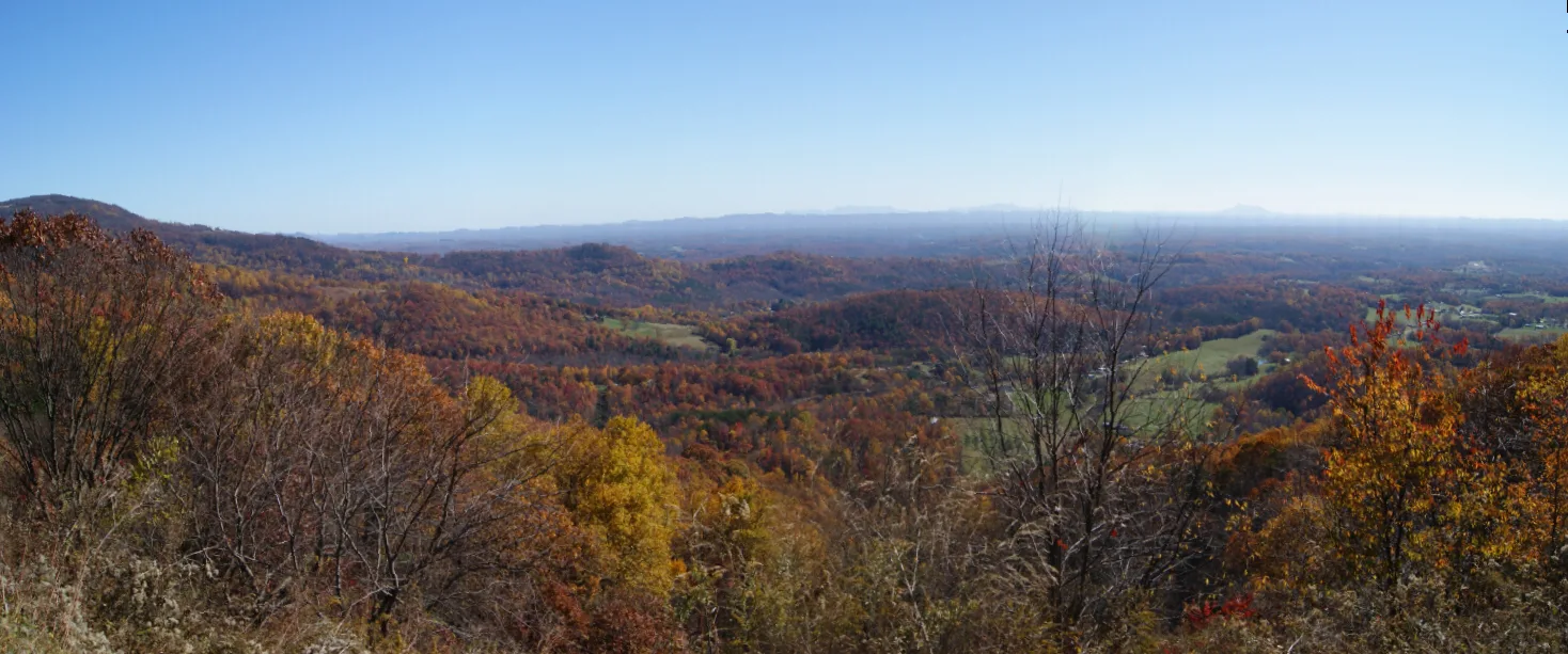
Streets nearby
Echo Road450 ft
Laurel Lane0.2 mi
Oakwood Drive0.2 mi
Bavarian Way0.2 mi
Staghorn Drive0.2 mi
Windermere Lane0.4 mi
Alpine Road0.4 mi
Scenic Way0.4 mi
Forest Park Lane0.5 mi
Chateau Road0.5 mi
Panorama Drive0.6 mi
Rosebay Lane0.6 mi
Tiimbercrest Lane0.6 mi
Olympus Drive0.6 mi
Keep-Away Trail0.6 mi
Tahoe Drive0.6 mi
Runaway Truck Ramp0.7 mi
Holly Lane0.7 mi
Glen Pine Lane0.7 mi
Matterhorn Drive0.8 mi
Golf Cart Trail0.8 mi
Family Drive0.8 mi
Hunt Place0.8 mi
Duffers Lane0.8 mi
Mountaineer Way0.8 mi
Shasta Lane0.8 mi
Farm Field Road0.8 mi
Azalea Trail0.8 mi
Woodson Lane0.8 mi
Chalet Drive0.8 mi
Young Road0.8 mi
Skyland Drive0.8 mi
Fairway Villa Drive0.8 mi
Yodler Way0.9 mi
Boulder Way0.9 mi
Mount Carroll Road0.9 mi
Skyland Lakes Drive0.9 mi
Loop Drive1.0 mi
Bay Lane1.0 mi
Stillview Drive1.0 mi
Becky Lane1.0 mi
Cagle Lane1.0 mi
Rocky Ridge Road1.1 mi
Fence Road1.1 mi
Cemeteries nearby
Smith Cemetery0.7 mi
Johnson-Leftwich Cemetery0.9 mi
Edwards Cemetery1.0 mi
Dams nearby
West Dam0.7 mi
Streams nearby
Garners Creek0.6 mi
 Public transit map Carroll County Legend
| Railway | |
| Bus | |
| Streetcar |
 Bicycle map Carroll County Legend
| Bike path | |
| Bike lane on roadway | |
| Cycling allowed on bus lane | |
| Bicycle street | |
| Open to cyclists | |
| Open to cyclists, good path | |
| Cycling prohibited | |
| Cobblestone |
| Long-distance bike route | (depending on scale) | |
| Long-distance bike route |
 Pedestrian map Carroll County Legend
| Path |
| Long-distance hiking trail | (depending on scale) | |
| Long-distance hiking trail | ||
| Pedestrians prohibited |