
Samuels Drive in Cumberland County, Virginia
Samuels Drive in Cumberland County is an unpaved service road. It runs in a northeast-southwest direction starting from Columbia Road.
- Road Type
- service road
- Speed Limit
- 10 mph
- Route
- northeast-southwest
Image
Cemeteries
Police stations
Clinics
Gas stations
Places of worship
Fire stations
Fast food restaurants
Streets nearby
Walnut Lane0.3 mi
Morgan Run0.4 mi
Cedar Springs Road0.5 mi
Pervall Drive0.5 mi
Hampton Road0.8 mi
Great Oak Road0.9 mi
Blue Spruce Lane0.9 mi
Smith Lane0.9 mi
High Pockets Road0.9 mi
Sutton Lane1.1 mi
Freedom Lane1.1 mi
Morningside Road1.4 mi
Perkins Road1.4 mi
Holly Hill Lane1.5 mi
Deep Run RoadAshby
1.8 mi
Ivy Lane1.8 mi
Cartersville RoadWhiteville, Mount Horeb Church, Cartersville Rescue Squad, Cartersville Volunteer Rescue Squad
1.9 mi
Columbia RoadHamilton, Fork of Willis Church, Oakwood Church
2.0 mi
Jennings Road2.0 mi
Cartersville ExtendedTamworth
2.1 mi
Newstead LaneCartersville Fire Station
2.2 mi
Ponce Trail2.3 mi
Boone Trail2.4 mi
Buck Hollow Lane2.4 mi
Rhodes Lane2.4 mi
Church Street2.4 mi
Tavern Road2.4 mi
High StreetCartersville
2.4 mi
Auto repair shops nearby
Martin & Dabney Auto Service2.2 mi
Coniston Classics2.2 mi
Banks nearby
C&F Bank2.1 mi
Buildings nearby
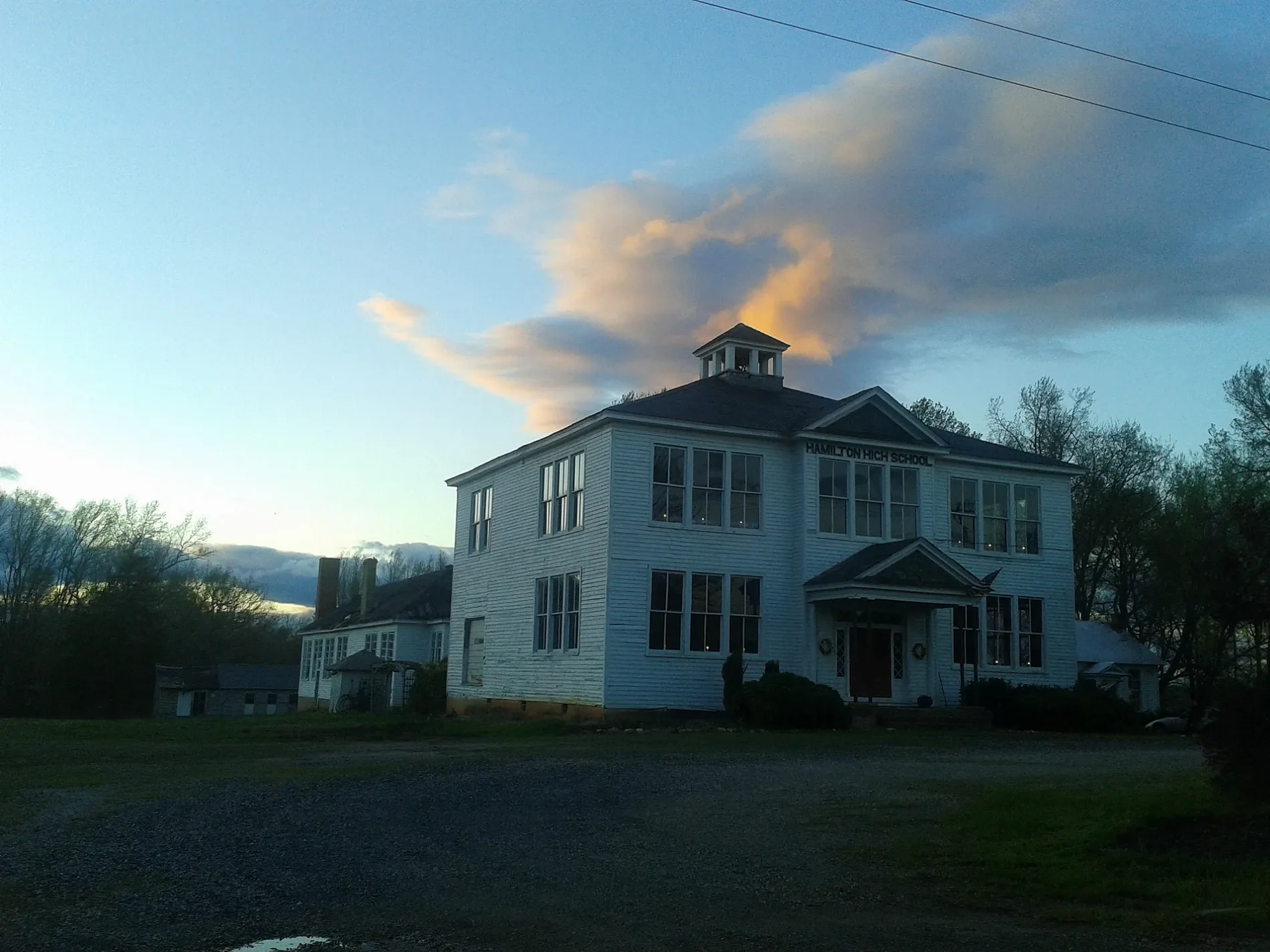
Hamilton High School0.3 mi
Hamilton High School Foundation0.3 mi
Cartersville Volunteer Rescue Squad1.7 mi
Cemeteries nearby
Cartersville Cemetery1.0 mi
Harrison Cemetery1.5 mi
Cochran Cemetery1.5 mi
Convenience stores nearby
Country Corner Grocery0.4 mi
Fire stations nearby
Cartersville Volunteer Fire Department2.1 mi
Gas stations nearby
Citgo0.4 mi
General stores nearby
Blanton & Pleasants2.2 mi
Guest houses nearby
Newstead On The James2.4 mi
Places of worship nearby
New Hope Baptist Church0.8 mi
Saint James Episcopal Church2.1 mi
Cartersville Seventh Day Adventist Church2.2 mi
Cartersville Baptist Church2.3 mi
Post offices nearby
Cartersville Post Office2.4 mi
Streams nearby
Willis River2.2 mi
Other nearby
Cartersville Substation0.2 mi
 Public transit map Cumberland County Legend
| Railway | |
| Bus | |
| Streetcar |
 Bicycle map Cumberland County Legend
| Bike path | |
| Bike lane on roadway | |
| Cycling allowed on bus lane | |
| Bicycle street | |
| Open to cyclists | |
| Open to cyclists, good path | |
| Cycling prohibited | |
| Cobblestone |
| Long-distance bike route | (depending on scale) | |
| Long-distance bike route |
 Pedestrian map Cumberland County Legend
| Path |
| Long-distance hiking trail | (depending on scale) | |
| Long-distance hiking trail | ||
| Pedestrians prohibited |