
South Street in Gloucester County, Virginia
South Street in Gloucester County is a residential street. It runs in an east-west direction starting from Cary Avenue and crosses Blair Street and ends at Martin Street. South Street also exists in Suffolk, Portsmouth, Fairfax, Emporia and Winchester.
- Road Type
- residential street
- Route
- east-west
Image
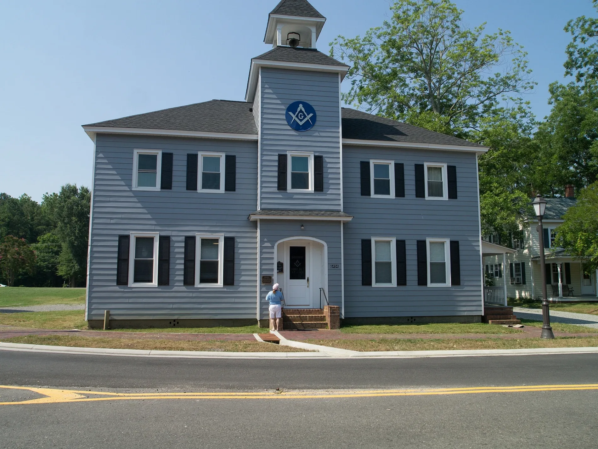
Police stations
Schools
Clinics
Hardware stores
Fast food restaurants
Restaurants
Auto repair shops
Nursing homes
Places of worship
Gas stations
Cafes
Convenience stores
Streets nearby
Blair Street0.1 mi
Main StreetGloucester, Middle Penin Regional Special Education Program, Sweet Tooth Cafe & Bakery, Newington Church, Grace Covenant Presbyterian Church, Saint Therese
0.1 mi
John Lemon Lane0.1 mi
Cary Avenue0.1 mi
Martin Street0.1 mi
Justice DriveGloucester County Sheriff's Office
0.1 mi
Carrage LaneGloucester County Health Clinic
0.2 mi
Heron Cove WayLulu Birds Kitchen
0.2 mi
Kerns Avenue0.2 mi
Walker Avenue0.3 mi
Groves Street0.3 mi
Botetourt Avenue0.3 mi
Glenside Court0.3 mi
Corr Street0.3 mi
Fayette Street0.3 mi
Duval Avenue0.3 mi
Gloucester Street0.4 mi
York Avenue0.4 mi
Gloucester Town Drive0.4 mi
Old Gloucester Way0.4 mi
Janice Court0.4 mi
Francis Street0.4 mi
Ware Street0.4 mi
Shackleford Avenue0.4 mi
Clements Avenue0.4 mi
Vaden Drive0.5 mi
Shops nearby
Tomlinson Exterminating Services, Inc0.3 mi
Accessory shops nearby
Up South LLC0.3 mi
The Silver Box0.3 mi
Auto repair shops nearby
Gunn's Body Shop0.3 mi
Buildings nearby
BHHS Towne Rentals0.2 mi
Gate of Life Acupuncture0.2 mi
Brookside Home Health Care0.2 mi
The Nurtury0.3 mi
Gloucester Mathews Gazette-Journal0.3 mi
Mainsail Wealth Advisors0.3 mi
Cafes nearby
Sweet Tooth Cafe0.3 mi
Courthouses nearby
Clerk of Court0.2 mi
Dentist's offices nearby
Dr. Timothy A. Leigh, D.D.S0.4 mi
Fire stations nearby
Gloucester Volunteer Fire and Rescue Station Number 10.2 mi
Florists nearby
Smith's Florist & Gift Shoppe0.3 mi
Garages nearby
Gunn's Garage0.3 mi
Gift shops nearby
Northern Neck Popcorn Bag0.3 mi
Industrial buildings nearby
EyeMax Family Eyecare0.3 mi
Museums nearby
Gloucester Museum of History0.1 mi
Office buildings nearby
Direct Access Internal Medicine0.3 mi
Police stations nearby
Gloucester County Sheriff0.3 mi
Restaurants nearby
Olivia's in the Village0.2 mi
Retail buildings nearby
The Gloucester Blacksmith0.3 mi
 Public transit map Gloucester County Legend
| Railway | |
| Bus | |
| Streetcar |
 Bicycle map Gloucester County Legend
| Bike path | |
| Bike lane on roadway | |
| Cycling allowed on bus lane | |
| Bicycle street | |
| Open to cyclists | |
| Open to cyclists, good path | |
| Cycling prohibited | |
| Cobblestone |
| Long-distance bike route | (depending on scale) | |
| Long-distance bike route |
 Pedestrian map Gloucester County Legend
| Path |
| Long-distance hiking trail | (depending on scale) | |
| Long-distance hiking trail | ||
| Pedestrians prohibited |