
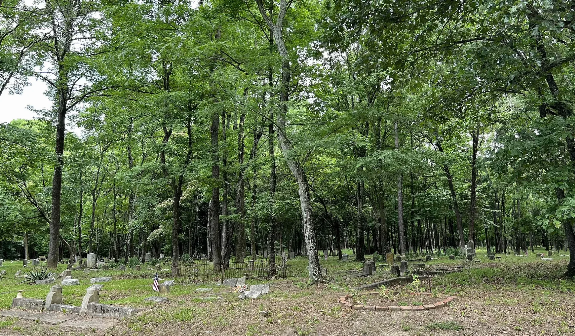
East End Cemetery in Richmond, VA 23223
East End Cemetery in Richmond, VA 23223 (Henrico County) is a cemetery (Elevation 43 m). Ⓦ.
- Land Use
- cemetery
Image
Museums
- Grand Lodge of Virginia Library and Museum (Web) – approx. 0.3 mi.
Herbalists
Hair salons
Fast food restaurants
Bus stops
Restaurants
Beauty salons
Cell phone stores
Clothing stores
Streets nearby
Stoney Run Parkway0.1 mi
Evergreen Road0.2 mi
Bulheller Road0.2 mi
Taylor Road0.3 mi
Dabbs House Road0.4 mi
Bray Avenue0.4 mi
Echo Avenue0.4 mi
Park Avenue0.4 mi
Candidate Court0.5 mi
Stony Run Parkway0.5 mi
Candidate Road0.5 mi
Masonic Terrace0.5 mi
Gordon Lane0.5 mi
Tuxedo Boulevard0.5 mi
Candidate Terrace0.5 mi
2nd Street0.5 mi
1st Street0.5 mi
4th Street0.5 mi
Nine Mile RoadNew Bridge School, Nine Mile & Newbridge, Nine Mile & Barker, Nine Mile & Virginia, Nine Mile & Lowell, Nine Mile & Taft, Nine Mile & Ainsworth, Nine Mile & Pleasant, Nine Mile & Orams, Nine Mile & Oakleys, Nine Mile & Bayard, Nine Mile & E Cedar Fork, Nine Mile & Gordon, Nine Mile & Masonic, Nine Mile & Meadowspring, Nine Mile & Kenway, DC's Chicken, T-Mobile, Eastgate Tobacco & Vape, Nine Mile & Martin, Nine Mile & Echo, Nine Mile & Watson, Nine Mile & Cedar Fork, Nine Mile & Eastgate
0.6 mi
6th Street0.6 mi
Milburn Avenue0.6 mi
East Richmond Road0.6 mi
High Meadow Street0.6 mi
Wayland Street0.6 mi
7th Street0.6 mi
5th Street0.6 mi
Koch AvenueWindsor Place
0.6 mi
Eanes Lane0.6 mi
3rd Street0.6 mi
8th Street0.6 mi
Jennie Scher RoadJennie Scher at 1500, Jennie Scher & Central
0.7 mi
Masonic Lane0.7 mi
Inman Avenue0.7 mi
Shillingford Drive0.7 mi
Inman Lane0.7 mi
Kings Reach Road0.7 mi
Merle Street0.8 mi
Madge Lane0.8 mi
Caddie Lane0.8 mi
Buildings nearby
Eastern Henrico Government Center0.4 mi
Cemeteries nearby
Colored Paupers Cemetery0.2 mi
Evergreen Cemetery0.4 mi
Industrial areas nearby
Gillies Creek Industrial Recycling0.6 mi
Museums nearby
Dabbs House Museum0.4 mi
Parks nearby
Glen Echo Recreation Area0.5 mi
Places of worship nearby
Fairfield Kingdom Hall of Jehovahs Witnesses0.7 mi
Police stations nearby
Virginia State Police Division 1 Area 8 Office0.3 mi
Streams nearby
Gillies Creek0.6 mi
Stony Run0.7 mi
| Located in | Richmond |
|---|---|
| Country | United States |
 Public transit map Henrico County Legend
| Railway | |
| Bus | |
| Streetcar |
 Bicycle map Henrico County Legend
| Bike path | |
| Bike lane on roadway | |
| Cycling allowed on bus lane | |
| Bicycle street | |
| Open to cyclists | |
| Open to cyclists, good path | |
| Cycling prohibited | |
| Cobblestone |
| Long-distance bike route | (depending on scale) | |
| Long-distance bike route |
 Pedestrian map Henrico County Legend
| Path |
| Long-distance hiking trail | (depending on scale) | |
| Long-distance hiking trail | ||
| Pedestrians prohibited |