
Fort Huger in Smithfield, VA 23430
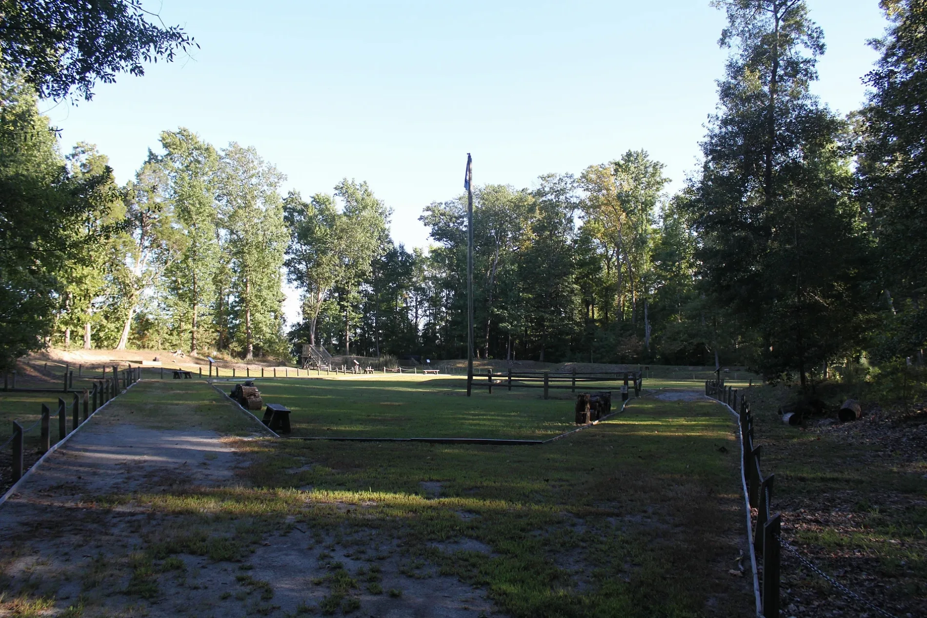
Fort Huger in Smithfield, Isle of Wight County, Virginia 23430 is a park (Isle of Wight County Parks and Recreation Department), Talcott Terrace 15080 (23430) 🌐. Ⓦ.
- House Number
- 15080
- Postal Code
- 23430
- Street
- Talcott Terrace
- Leisure
- park
- Operator
- Isle of Wight County Parks and Recreation Department
- Website
- https://www.historicisleofwight.com/fort-huger.html
Image
Streets nearby
Talcott Terrace0.3 mi
James River Way0.3 mi
North Shore Place0.4 mi
North Shore Drive0.5 mi
Creekway Drive0.6 mi
North Sycamore Drive0.7 mi
Lawnes Neck Drive0.7 mi
Riverview Road0.9 mi
Poplar Drive0.9 mi
Lawnes Creek Crossing0.9 mi
Sycamore Drive1.0 mi
South Sycamore Drive1.0 mi
Cedar Lane1.1 mi
Hardys Place1.2 mi
Captains Point Lane1.3 mi
Kingbrook Lane1.3 mi
South Shore DriveRushmere Shores
1.3 mi
Pine Circle1.4 mi
Longwood Drive1.4 mi
Woodmere Avenue1.5 mi
Lawnes Creek Road1.6 mi
River Landing Trail1.6 mi
Tynes Lane1.6 mi
Christopher Court1.7 mi
Fort Huger Drive1.7 mi
Tylers Beach Road1.7 mi
Olde Brickyard Road2.2 mi
Alvins Drive2.2 mi
Peyton Lane2.3 mi
Heather Lane2.3 mi
Lawnes Drive2.3 mi
Stonehouse Lane2.4 mi
Bradbys LaneTylers Beach
2.4 mi
Artis Lane2.4 mi
Lawnes Court2.6 mi
Holly Point Way2.7 mi
Sandpiper Drive2.7 mi
Harrison Road2.8 mi
Georgia Lane2.8 mi
Grannys Lane2.9 mi
Buildings nearby
U.S. Maritime Administration2.7 mi
Convenience stores nearby
Rushmere Food Mart2.8 mi
Garages nearby
MARAD2.7 mi
Gas stations nearby
Citgo2.8 mi
Industrial areas nearby
Equipment Yard2.7 mi
Marinas nearby
MARAD Boat Basin2.7 mi
Parks nearby
Tyler's Beach Boat Ramp, Harbor, and Public Beach1.9 mi
Rivers nearby
Lawnes Creek1.3 mi
Variety stores nearby
Dollar General2.8 mi
| Area | 22 |
|---|---|
| Heritage designation | Virginia Historic Landmark, National Register of Historic Places listed place |
| Located in | Isle of Wight County |
| Country | United States |
| Described by | FortWiki |
 Public transit map Isle of Wight County Legend
| Railway | |
| Bus | |
| Streetcar |
 Bicycle map Isle of Wight County Legend
| Bike path | |
| Bike lane on roadway | |
| Cycling allowed on bus lane | |
| Bicycle street | |
| Open to cyclists | |
| Open to cyclists, good path | |
| Cycling prohibited | |
| Cobblestone |
| Long-distance bike route | (depending on scale) | |
| Long-distance bike route |
 Pedestrian map Isle of Wight County Legend
| Path |
| Long-distance hiking trail | (depending on scale) | |
| Long-distance hiking trail | ||
| Pedestrians prohibited |